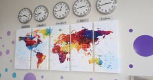
Human Factors The world map on classroom walls, in atlases, and on Google Maps has been quietly… By Space Daily Editorial Team · Jun 5, 2026
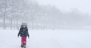
Human Factors Why Ulaanbaatar is the world’s coldest national capital By Space Daily Editorial Team · Jun 5, 2026
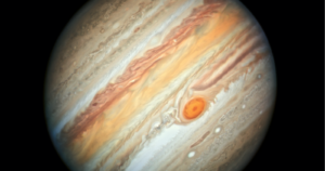
Science & Engineering Jupiter’s Great Red Spot is a storm wider than Earth that has raged for at least… By Space Daily Editorial Team · Jun 5, 2026
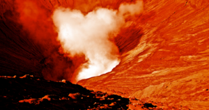
Human Factors The largest known volcano in the solar system is on Mars By Space Daily Editorial Team · Jun 5, 2026
Human Factors The first computer virus to spread across the global internet was released by… By Space Daily Editorial Team · Jun 5, 2026
Psychology The Dunedin Study linked childhood self-control with several adult outcomes By Space Daily Editorial Team · Jun 5, 2026
Science & Engineering Time really does run faster for your head than for your feet By Space Daily Editorial Team · Jun 5, 2026
Constellations Mercury is not the hottest planet in the solar system despite sitting closest to… By Space Daily Editorial Team · Jun 5, 2026
Space & Missions Carl Sagan and four colleagues published the 1983 'TTAPS' paper that introduced the… By Space Daily Editorial Team · Jun 5, 2026
Human Factors The Mediterranean Sea was once completely dry By Space Daily Editorial Team · Jun 5, 2026
Earth & Life The icy surface of Europa is constantly crystallising and reforming in different… By Space Daily Editorial Team · Jun 5, 2026
Human Behaviour On December 3, 1992, a 22-year-old British software engineer named Neil Papworth… By Space Daily Editorial Team · Jun 5, 2026
Human Factors Thought of the day from Danish philosopher Søren Kierkegaard By Mal James · Jun 5, 2026
Human Factors The "@" symbol that anchors every email address in the world was chosen in 1971 by… By Space Daily Editorial Team · Jun 5, 2026
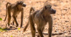
Science & Engineering Baboons walk in single file not for safety or strategy but simply to stay close to… By Space Daily Editorial Team · Jun 5, 2026