

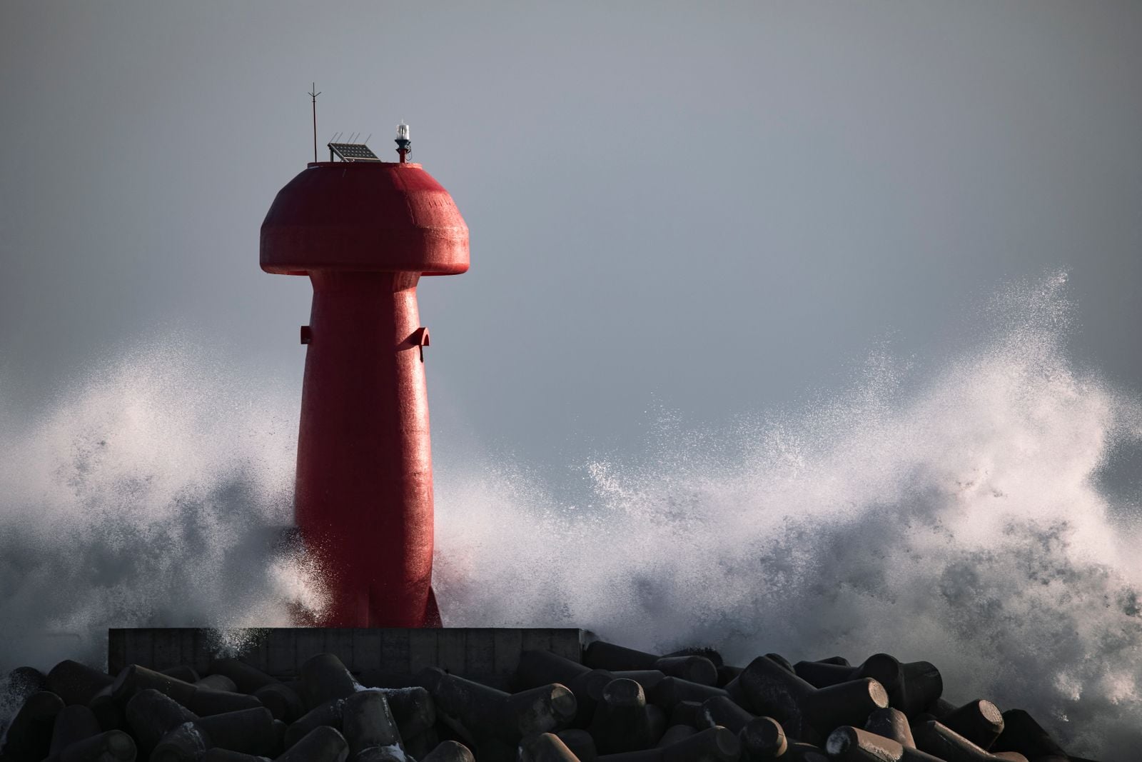
Five arrays of the Ocean Observatories Initiative are still sending ocean data ashore from the Pacific and Atlantic, but for four weeks in 2026 the network was on a timetable to lose most of its in-water infrastructure. On May 21, the National Science Foundation initiated what it called a major descoping, covering the Endurance, Pioneer, Station Papa and Irminger Sea arrays.
The plan lasted 28 days. On June 18, NSF reversed course, saying it would stop further removal and descoping, continue operations and maintenance, and develop plans to redeploy Endurance equipment that had already been recovered.
OOI had been fully commissioned for roughly a decade. Its construction budget was $386.42 million, and the observatory was conceived to deliver continuous ocean and atmospheric data over a planned operating life of roughly 30 years, according to OOI’s own program information.
That is what made the reversal unusual. By the time NSF stopped the dismantling, parts of the network were not merely threatened on paper: instruments off Washington and Oregon had already been pulled from the sea and moved into storage.
What the five arrays actually measure
The present OOI consists of two coastal arrays, Endurance and Pioneer; two open-ocean arrays, Station Papa and Irminger Sea; and the Regional Cabled Array off Oregon. Together they connect fixed moorings, seafloor instruments, profilers, gliders and other autonomous platforms to a common data system.
Endurance spans the Oregon and Washington shelf. Pioneer now operates in the Mid-Atlantic Bight off North Carolina, Station Papa sits in the northeast Pacific, and Irminger Sea lies south of Greenland. The Regional Cabled Array reaches into the Juan de Fuca tectonic plate and supplies continuous power and communications to instruments on and above the seafloor.
The measurements reach from the air-sea interface to the bottom. Depending on the site and platform, instruments track temperature, salinity, dissolved oxygen, biological activity, currents, waves, carbon-system variables, seafloor motion and other physical, chemical, biological and geological conditions.
The original draft described the buoys themselves as designed for a 30-year deployment. That is not how the system works. The roughly 30-year figure refers to OOI’s intended operating life as an observatory; individual moorings, gliders and instruments are routinely recovered, serviced, replaced and redeployed.
How the dismantling had already begun
The first visible losses came months before the May 2026 descoping announcement. KUOW reported that in September 2025 two of the three floating observation stations off Newport, Oregon, and all three off Grays Harbor, Washington, were removed and warehoused in Corvallis, Oregon.
Washington fisherman Joseph Veitenhans noticed the missing data during Dungeness crab season in January 2026. Describing his routine before leaving Westport, he told KUOW, “Any time I leave Westport, I’m checking those cans.”
When NSF expanded the cuts in May, the timetable became national. An OOI community update dated May 22 said the remaining Endurance recovery was scheduled for June 2026, Pioneer for June 2027, and the Irminger Sea and Station Papa arrays for summer 2027.
NSF spokesperson Mike England told KUOW that the agency wanted a more flexible approach to changing scientific priorities, emerging technologies and infrastructure management. The agency also pointed to a 2025 National Academies review of U.S. ocean-science infrastructure.
Why a decade of observations matters
OOI was built around a problem that oceanographers cannot solve retrospectively. A temperature, oxygen or current measurement taken at the same place every hour for years becomes more useful as the record grows because each new season can be compared with the seasons that came before it.
That is particularly important off Oregon and Washington, where the Endurance instruments follow coastal upwelling, low-oxygen conditions and changes through the water column. After the June reversal, OOI specifically identified seasonal hypoxia as one of the observations it wanted restored.
If an instrument misses a year, scientists can sometimes estimate what happened with satellites, ships, models or measurements from elsewhere. They cannot recreate the exact water that passed a fixed sensor at 3 a.m. on a particular winter morning after that moment is gone.
Mobile systems fill a different part of the map. The international Argo float network samples broad areas of the ocean as robotic floats sink and rise, and modern estimates of the global ocean heat record depend heavily on those profiles. Fixed observatories add persistent measurements at the same locations and can carry combinations of instruments that drifting floats do not.
What the National Academies actually recommended
The 2025 National Academies report did question whether large fixed assets remained the best backbone for every ocean-science need. But the report’s recommendation was for NSF to conduct a separate revisioning and restructuring exercise examining the scientific contribution of each array, future community needs and new observing technologies.
It did not recommend simply pulling four arrays from the ocean. The distinction became central to the reaction from researchers and lawmakers: reviewing the mix of fixed and mobile observing systems was one thing, while terminating most of an operating observatory before that review was another.
On June 17, Senator Lisa Murkowski introduced the Saving the OOI Act of 2026, with Jeff Merkley and ten other senators as cosponsors. The Senate passed the bill by voice vote without amendment, prohibiting NSF funds from being used to descope or decommission the covered instruments without the required review and assessment.
The next day NSF stopped the removals. It said the remaining arrays would continue operating, planned maintenance would continue, and the equipment recovered from Endurance would be redeployed after servicing.
What survived, and what remains exposed
The recovery is now physical rather than hypothetical. On July 30, OOI announced that NSF had begun a phased Endurance redeployment, with gliders returning first to restore seasonal observations over the Oregon and Washington shelves.
Several moorings, including Oregon and Washington shelf surface moorings, are scheduled to go back into the water aboard the R/V Revelle in early October 2026. OOI says additional work planned for spring 2027 is intended to restore full mooring and glider operations across Endurance.
The OOI reversal does not settle the future of every long-term U.S. ocean-observation program. Grist reported on June 23, 2026 that researchers were also worried about the future of Argo’s biogeochemical expansion and other federally supported observation systems as grants and infrastructure funding reached their endpoints.
The same report described uncertainty around future U.S. funding for OSNAP and RAPID, two international programs measuring the Atlantic Meridional Overturning Circulation. Unlike the OOI decision, those questions had not produced a comparable last-minute rescue.
What happens next
NSF has now moved toward the review the National Academies originally recommended. An August 27, 2026 request for input asks scientists and other users what observing gaps matter most, how fixed and mobile systems should be balanced, which technologies should be updated and which parts of the existing portfolio should be maintained.
For now, Pioneer, Station Papa, Irminger Sea and the Regional Cabled Array remain in operation while Endurance is being rebuilt in stages. The question has shifted from whether four arrays will disappear to what NSF’s ocean-observing system should look like after the expert review.
In early October, if the current schedule holds, the Oregon and Washington shelf moorings will go back over the rail of the R/V Revelle and into the Pacific. Once their instruments begin transmitting again, the stream will resume with a visible gap behind it: ocean conditions that passed the empty sites while the sensors were ashore, measured nowhere by those instruments and impossible to send back later.