

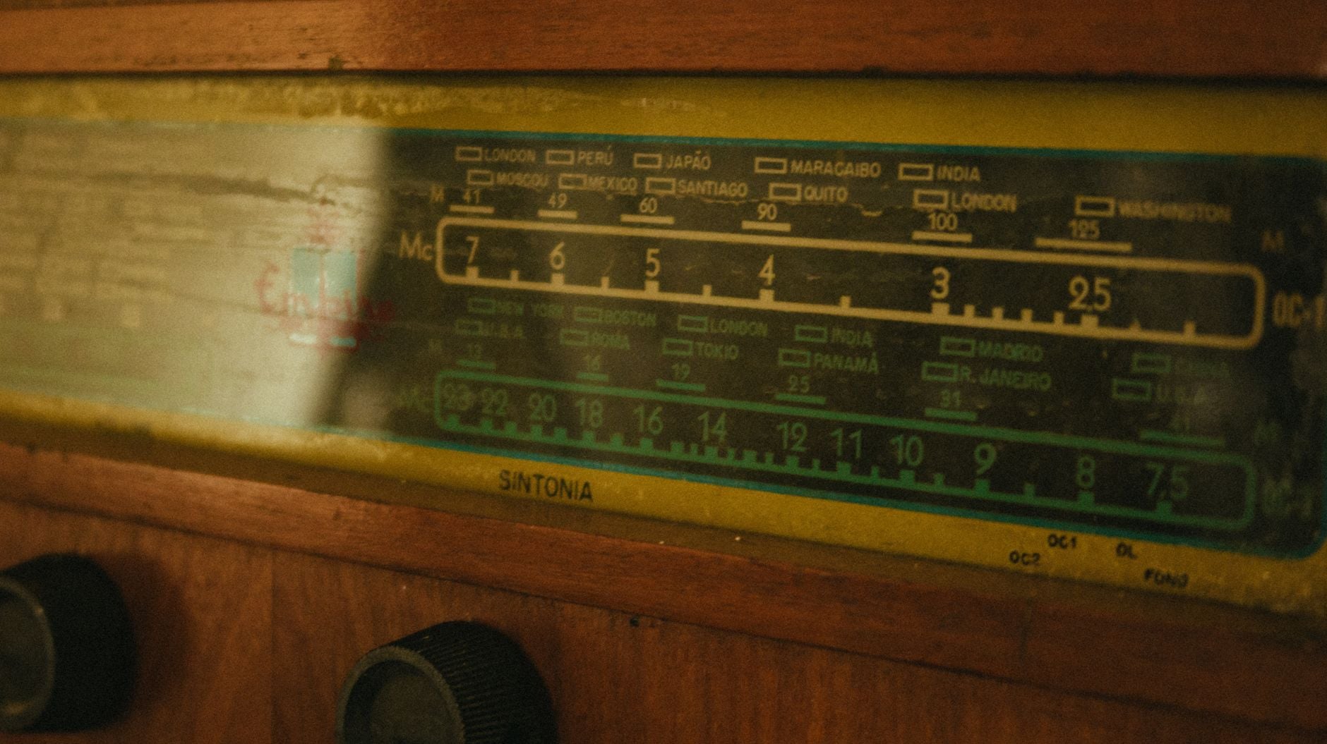
The first signal arrived at Kettering Grammar School on 16 May 1960 through a radio receiver built during the Second World War. Physics teacher Geoffrey Perry and chemistry teacher Derek Slater used the surplus Marconi CR-100 to hear Korabl Sputnik 1, a Soviet test spacecraft known in the West as Sputnik 4.
What began as a demonstration of the Doppler effect grew into a pupil-run satellite tracking group. Six years later, its listening logs and orbital plots showed that several Soviet spacecraft could not have been launched from either of the sites Moscow acknowledged. Their tracks led instead to Plesetsk, about 800 kilometres north of Moscow.
The location was secret to the public, but visible in the geometry.
A wartime receiver entered the physics classroom
The National Space Centre’s catalogue entry for the school’s CR-100/2 identifies it as an ex-government British Army communications receiver built around 1941. Slater bought the set in 1958 after discovering that an earlier receiver could not tune high enough to hear Sputnik near 20 megahertz.
Perry approached him when the next series of Soviet transmitters came within range in 1960. The two teachers assembled the receiver with borrowed and inexpensive supporting equipment. The CR-100 itself was not stable enough for precise tuning, so they used it with a surplus United States Army BC-221 frequency meter.
Pupil involvement developed after the teachers had begun listening. Girls from Kettering High School, who visited the grammar school for advanced science lessons, started monitoring the equipment during free periods in 1962. Boys joined as the project expanded, and in 1964 the Kettering Grammar School Satellite Tracking Group acquired its name.
The Doppler effect made the signals measurable
The group did not need to decode every piece of telemetry. It recorded when a transmitter rose above the noise, how the received pitch changed through a pass, and when Soviet controllers switched a beacon on or off. A satellite approaching the school compressed the received radio waves slightly; after closest approach, its motion stretched them. That Doppler shift gave the observers a timed marker for the pass.
The Science Museum Group’s account of Perry and the tracking unit notes that the students gathered empirical data with ordinary shortwave equipment. Logs from successive passes, combined with published orbital elements and ground-track calculations, could reveal an orbit’s inclination, period and likely origin.
This was patient measurement, not privileged intelligence.
Kosmos 112 did not fit the known map
Kosmos 112 entered orbit on 17 March 1966. Its path was inclined about 72 degrees to the equator, rather than the roughly 65-degree inclination common among earlier recoverable Kosmos missions. The school also recorded unusual reception windows and an orbital period of just over 92 minutes.
In an April 1966 letter published by Flight International, Perry laid out the signal frequency, the 72.1-degree inclination and the recovery timing. His initial calculation ruled out the publicly known Aral Sea complex and pointed towards a new northern launch site, perhaps near the southern end of Novaya Zemlya. Kosmos 114 and Kosmos 121 strengthened the case, but their ground tracks were too nearly parallel to fix the source precisely.
The first clue was therefore not yet the final location. That distinction matters because the often-retold version compresses months of observation into a single schoolroom deduction.
Kosmos 129 provided the second line
Kosmos 129, launched in October 1966, followed a path inclined at about 64.6 degrees. It also behaved differently from the established launches using that inclination. When Perry and the pupils extended its initial ground track across a globe, it crossed the higher-inclination tracks near 63 degrees north and 41 degrees east.
That was close to the town of Plesetsk, south of Arkhangelsk. The launch point for satellites sent on different headings had to sit near the intersection.
A contemporary Time report from December 1966 described a 24-foot dipole antenna strung between school buildings, a war-surplus receiver, a surplus signal generator, a tape recorder, a small globe and a desk calculator. A computer belonging to a Kettering company helped confirm the Kosmos 129 calculation. Nothing in that inventory resembled a national tracking network.
Perry announced the location at a British Interplanetary Society meeting on 3 November, then published the coordinates in Flight International. Western intelligence agencies already knew about the facility, so the school did not discover Plesetsk before every government. It made the first public case from open radio observations and orbital data.
Moscow kept the site off its public map
ESA’s history of Plesetsk places the facility about 800 kilometres north of Moscow and identifies Kosmos 112 as its first orbital launch. The base had begun as a northern intercontinental ballistic missile installation before acquiring its space-launch role.
The Soviet Union formally acknowledged Plesetsk only in 1983. By then, 17 years had passed since school pupils in Northamptonshire had plotted its position. Russia granted it formal cosmodrome status by presidential decree in 1994, according to the same ESA account.
Independent radio listening had exposed other Soviet milestones during the same period. Our account of Jodrell Bank’s Luna 9 interception explains how an observatory and a newspaper fax receiver published lunar surface pictures before Moscow’s official release.
Kettering’s result took longer to assemble. A receiver, a frequency meter, pupils’ logbooks and two crossing lines were enough to put the absent launch site on a globe.