

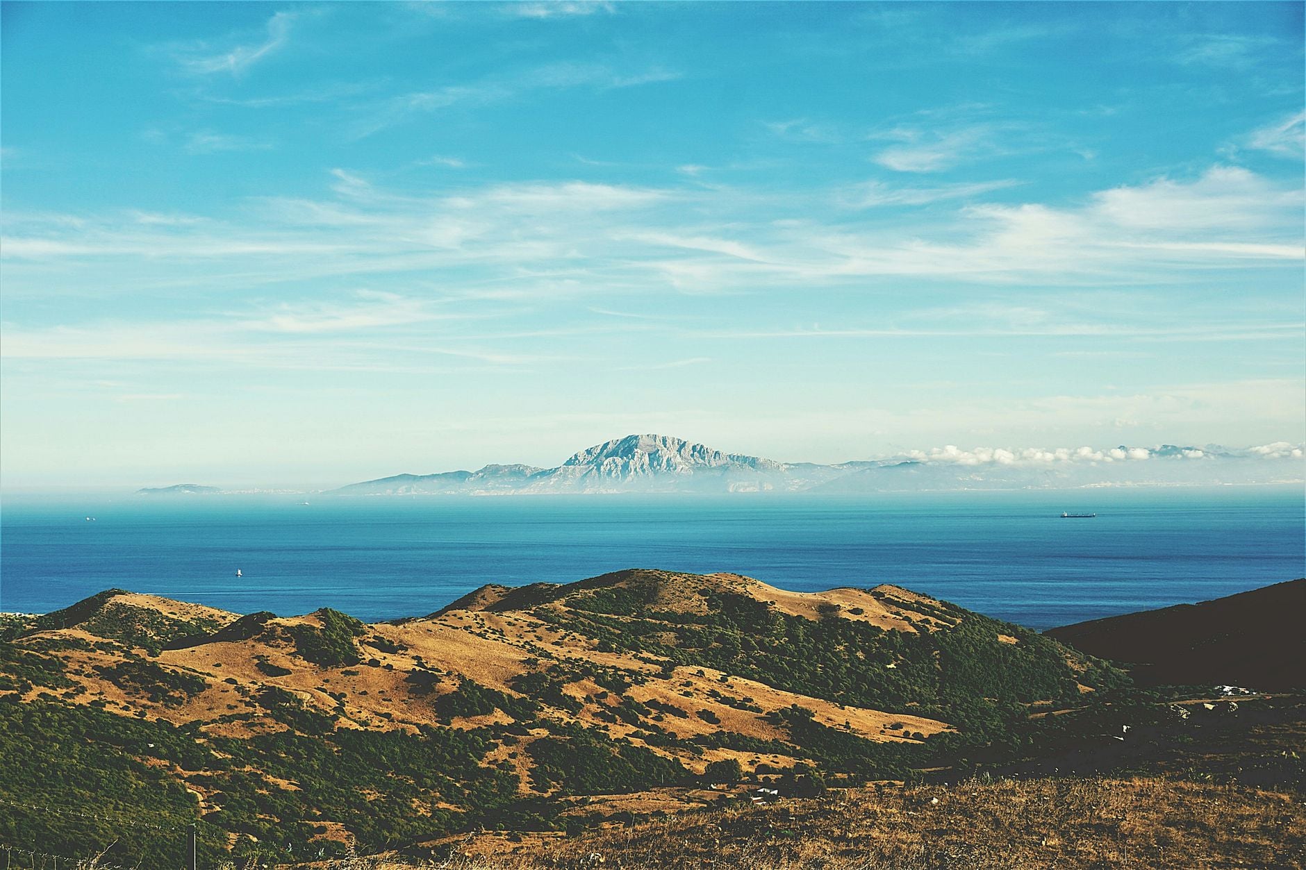
About 5.33 million years ago, Atlantic water again entered the Mediterranean as the Messinian salinity crisis came to an end. The reconnection near the Miocene-Pliocene boundary is well established. The familiar picture of an almost empty basin filled by a single, overwhelming flood is not.
The most arresting numbers come from numerical modelling. One influential study calculated that the last 90 per cent of the refill could have occurred within several months to two years, with peak flow nearing 100 million cubic metres per second. Later work described an erosional channel stretching roughly 390 kilometres from the Atlantic side of Gibraltar into the western Mediterranean.
This is a model result, not a direct measurement of an ancient current. Its scale depends on the assumed depth of the depleted Mediterranean, the erodibility of the sill, and how much of the buried channel was cut during the final inflow rather than before it.
What the 2009 flood model calculated
Daniel García-Castellanos and colleagues set out the best-known catastrophic-refill model in a 2009 paper in Nature. They combined seismic evidence for a deep erosional channel near Gibraltar with an incision model previously tested against river erosion. Their question was whether Atlantic water cutting into a rock barrier could explain the channel and the return of normal marine conditions.
The proposed process contains a positive feedback. A relatively modest overflow begins to cut the sill. As erosion lowers and widens the opening, more water can pass through. The larger flow then accelerates erosion, deepening the gateway further. Only when the Mediterranean rises enough to reduce the difference in water level does the inflow begin to weaken.
For the paper’s preferred parameter range, the flood accelerated to about 100 sverdrups. A sverdrup is one million cubic metres per second, putting the peak near 100 million cubic metres per second. The authors estimated that the last 90 per cent of the Mediterranean’s refill occurred in less than two years, and possibly within a few months, after a much longer period of relatively slow inflow.
These figures are conditional. Rock erodibility is difficult to reconstruct even for modern landscapes, and the flood’s calculated strength changes substantially with the assumed initial difference between Atlantic and Mediterranean water levels.
The 390-kilometre channel is evidence, not a flow meter
The original 2009 paper described continuity across roughly 200 kilometres of channel. Subsequent seismic mapping extended the interpreted feature farther west into the Gulf of Cádiz and east towards the Algerian Basin. A 2020 review in Earth-Science Reviews put its total length near 390 kilometres and described it as several hundred metres deep.
The review estimated that excavating the full channel required removal of roughly 1,000 cubic kilometres of Miocene sediment and bedrock. Its scale is consistent with enormous erosion. Yet a buried channel cannot record its own instantaneous discharge, and the geological interpretation is less direct than the neat flood animation that usually accompanies this story.
Seismic profiles reveal boundaries between materials by tracing reflected sound. Researchers then infer the channel’s geometry, age and fill from those profiles. If part of the depression was carved by rivers during an earlier low-water phase, by repeated marine flows, or by dense brine cascading downslope, the final Atlantic flood would not have excavated all 390 kilometres from an untouched surface.
The channel is therefore strong evidence that exceptional erosion occurred. It does not independently prove the model’s peak flow or two-year timescale.
How empty was the Mediterranean?
The Messinian salinity crisis lasted from about 5.97 to 5.33 million years ago and left close to one million cubic kilometres of evaporite salts beneath and around the Mediterranean. Gypsum and halite on that scale demonstrate intense evaporation and severely restricted exchange with the Atlantic.
They do not require every part of the basin to have become dry land simultaneously. Salt can precipitate from concentrated brine under water, and the western and eastern Mediterranean were separated by sills that could maintain different water levels.
A 2015 study of the deep-basin record reported no unequivocal evidence of shallow-water or exposed salt-flat deposition in the material it examined. Its authors argued that deposition continued under water and presented a deep, hypersaline Mediterranean as an alternative to complete desiccation.
More recent chemistry nevertheless supports a very large fall in water level. A 2024 Nature Communications study using chlorine isotopes reconstructed two main phases of salt accumulation. It estimated drawdowns of about 0.85 kilometres in the western basin and 1.7 to 2.1 kilometres in the east, corresponding to a loss of roughly 69 per cent of the Mediterranean’s water volume.
That result strengthens the case for severe depletion while complicating the image of one uniformly empty hole. A basin that retained deep brines could still present an immense drop for incoming Atlantic water, but its refill volume and hydraulic behaviour would differ from those of a dry Mediterranean.
Was the last refill a single catastrophe?
The timing and path of the final reconnection are also being reconsidered. A 2025 review in Annual Review of Marine Science argued that the classic desiccation and megaflood account is too often repeated as fact. The authors surveyed evidence that Atlantic-Mediterranean exchange may have persisted intermittently and that the final transition may have involved gradual, pulsed or two-step flooding.
Other teams continue to find landforms consistent with a rapid, high-energy event. A study published in Communications Earth & Environment traced more than 300 streamlined ridges across south-eastern Sicily, together with poorly sorted breccia and a 20-kilometre-wide shelf channel leading into Noto Canyon. The authors interpreted this onshore-to-offshore sequence as evidence that water from the refilled western Mediterranean surged across the Sicily Sill into the eastern basin.
That evidence supports a forceful overspill in the central Mediterranean. It does not automatically establish that the entire basin was refilled in one uninterrupted episode, nor does it settle exactly when the main breach at Gibraltar occurred. Some stratigraphic interpretations place a major flood slightly before the formal start of the Zanclean age, which would make “Terminal Messinian flood” a more precise label.
The dispute is not about whether the Mediterranean experienced an extraordinary transition. It is about which processes produced each part of a sparse and deeply buried record.
What can be stated with confidence
The Mediterranean became extremely saline and lost a large proportion of its water during the Messinian crisis. Normal marine exchange through the Gibraltar region was established by the early Pliocene. Large-scale erosion occurred beneath what is now the Strait of Gibraltar and across the Alboran region.
SpaceDaily has previously examined the 100-million-cubic-metre-per-second model output. The qualification belongs beside the number: it is a calculated peak that helps test one interpretation of the channel, not a measured fact about the ancient sea.
The evidence base is still growing. International Ocean Discovery Program Expedition 401 drilled sites in the Gulf of Cádiz, the Alboran Sea and the nearby Atlantic to reconstruct the old gateways and their exchange. Initial reports define the cores and questions; detailed analyses are continuing.
A rapid Zanclean megaflood remains a serious hypothesis with substantial support. Whether it began above a nearly dry basin, how much erosion it performed, and whether the final refill unfolded as one event or several are still being tested.