

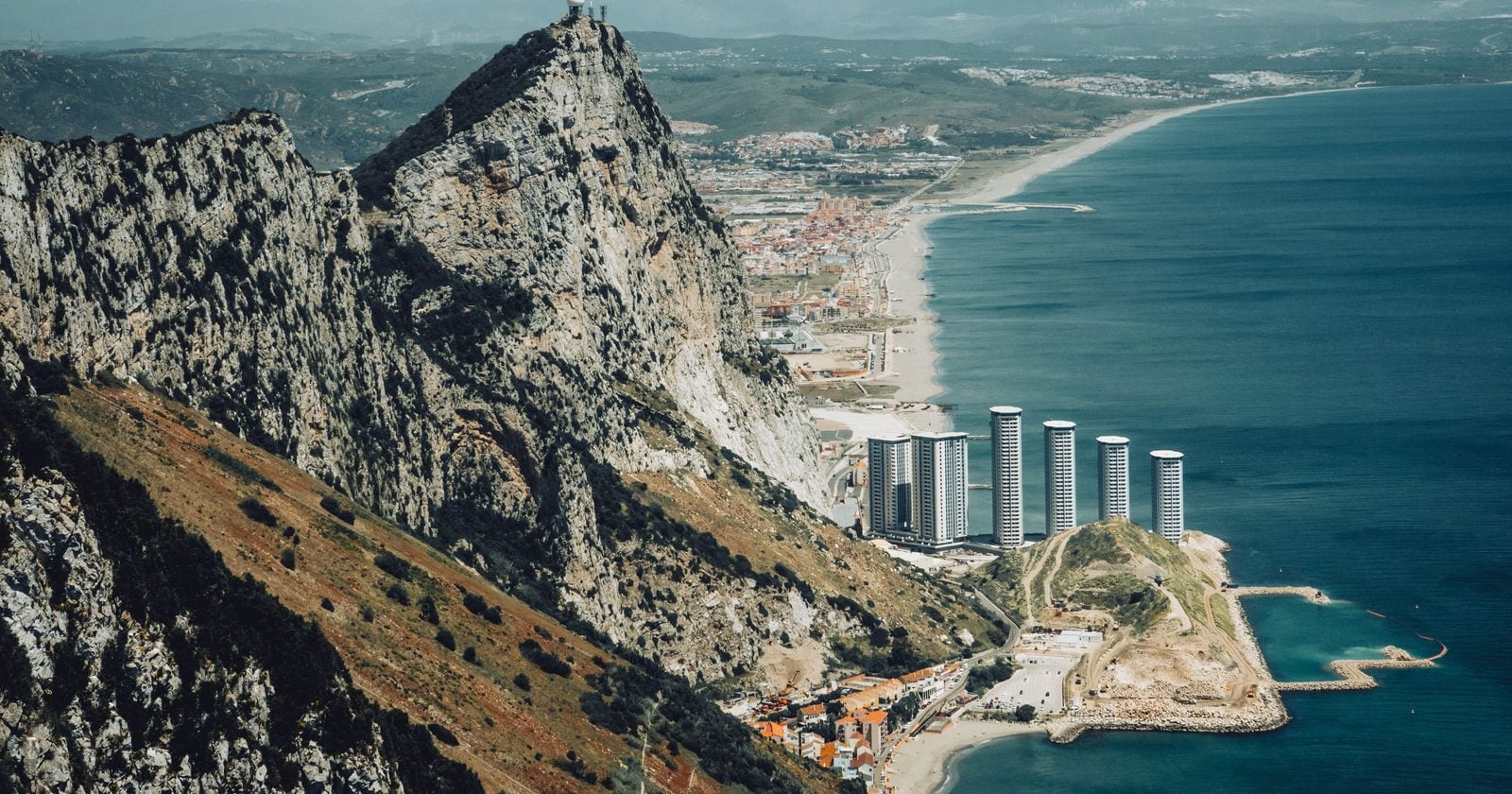
Roughly 100 million cubic metres of water per second, pouring from west to east through the Strait of Gibraltar.
One team estimates that the flood thought to have refilled the Mediterranean carried, at its peak, about 1,000 times the water of the modern Amazon, the largest river on Earth. That’s not a bigger river. It’s a different kind of thing entirely.
That figure comes from a single modelling study, and the useful way to hold it is to keep two things apart: what was measured in the rock, and what a model worked out from that. The short version is that the salt is real, the flood’s exact violence is an estimate, and the gap between those two statements is most of what’s interesting here.
Where the number comes from
The event is called the Zanclean flood. Around 5.6 million years ago the Mediterranean’s link to the Atlantic closed, and over the following stretch the sea largely dried out, leaving behind salt deposits kilometres thick. Scientists call that dried-out period the Messinian Salinity Crisis. The flood is what supposedly ended it, roughly 5.33 million years ago, when the Atlantic found its way back in.
The headline discharge traces to a 2009 Nature paper led by Daniel Garcia-Castellanos and colleagues at CSIC in Barcelona. Using data from boreholes and seismic surveys, they mapped a long erosion channel running across the strait.
How a channel becomes a flood
Getting from a buried groove in the seabed to a discharge figure runs through what’s called an incision model.
Once Atlantic water started spilling over the ridge that separated the two basins, it began cutting downward. Cutting the channel deeper let more water through. More water cut faster.
When the team fed the channel’s shape into that model, they estimated a flow “of about 10^8 m3 s-1 (three orders of magnitude larger than the present Amazon River) and incision rates above 0.4 m per day,” with the cutting focused at the Camarinal Sill, the ridge that held the water back.
Those numbers sit behind the phrase “our findings suggest that” on the page, which is worth keeping in view. They are a modelled estimate, not a reading off a gauge. The 0.4 metres a day of cutting drove a rise on the far side that the paper puts high: the study notes the flood “may have involved peak rates of sea level rise in the Mediterranean of more than ten metres per day.”
How fast, really?
This is where most people’s intuition breaks. The results suggest “90 per cent of the water was transferred in a short period ranging from a few months to two years.” A basin the size of the Mediterranean, most of the way full, in under two years.
Two things to notice. First, that’s a wide range. “A few months” and “two years” are not the same story, and the model doesn’t force a single answer. Second, an independent group later ran the problem through more detailed water-flow simulations and got the same broad window. Getting a similar answer from a different method makes a modelled number sturdier, though it’s still one model checking another, not a measurement.
What’s measured and what’s inferred
The channel is physical. The salt is physical. The Camarinal Sill was cut more than 250 metres deep on both sides of the strait, and that cutting is what pins down any estimate of peak speed and flow. You can, in principle, go and measure the groove. The discharge is a different kind of claim. It’s what the model outputs once you assume the channel was carved by the flood and feed in the physics of how water cuts rock.
So here’s how we’d read the headline number. The 200-kilometre channel and the salt beneath the sea are things the Earth recorded and people dug up. The hundred million cubic metres a second is what those things imply if the channel was carved by a flood behaving the way rivers do when they cut through rock. That’s not a reason to distrust it. It’s a reason to say it precisely: the erosion is measured, and the flood is the best model we have of what could carve it.