

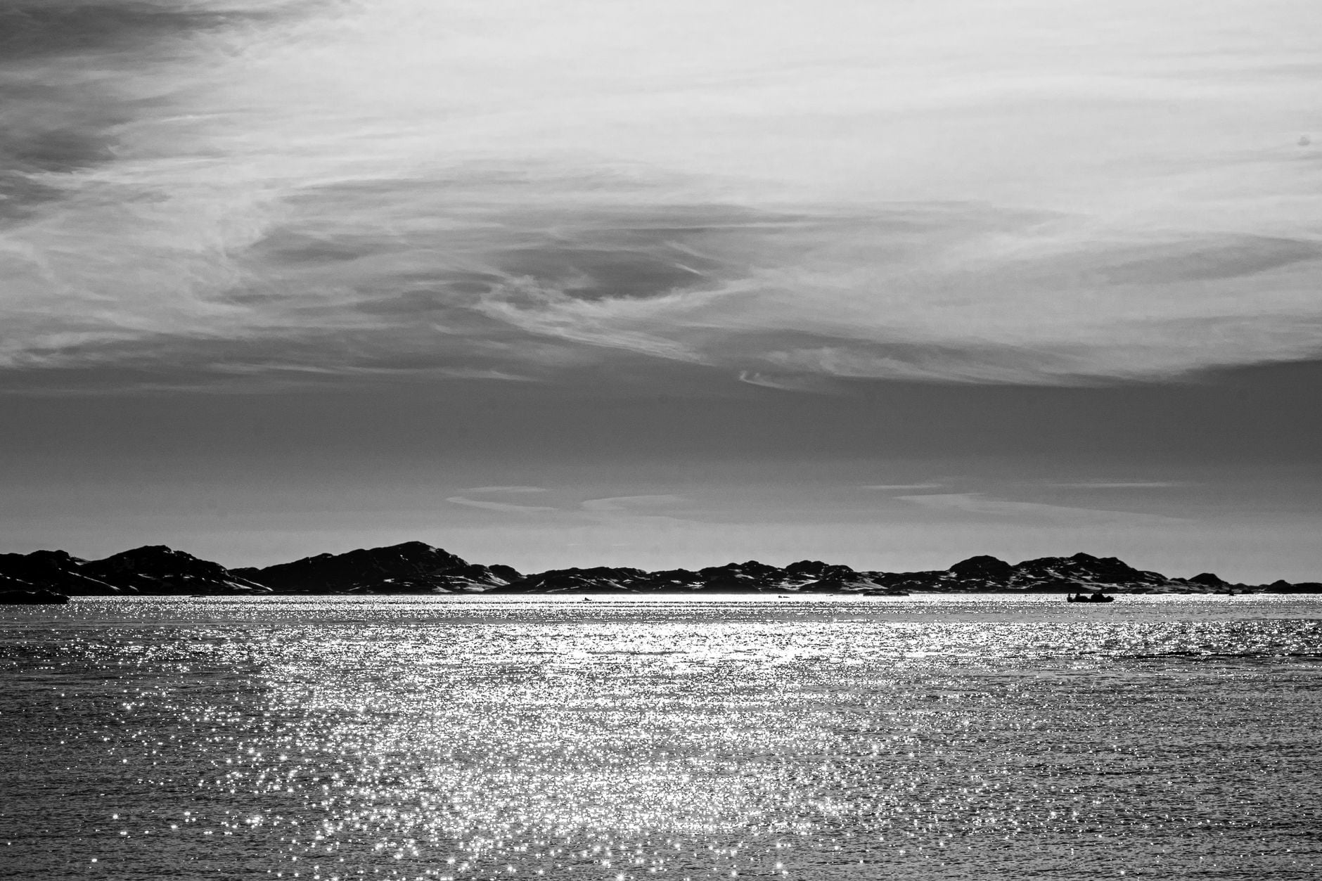
The surface of the Denmark Strait gives no sign of a three-kilometre drop below. Between Greenland and Iceland, however, cold water from the Nordic Seas crosses an underwater ridge and descends into the deep North Atlantic in a bottom-hugging current measured in millions of cubic metres per second.
NOAA calls it Earth’s largest waterfall. The phrase is useful, but only if the image is handled carefully. This is not a vertical sheet falling through air, nor an empty cavity inside the ocean. It is a dense layer sliding beneath lighter water and down a long, sloping seafloor.
An underwater ridge creates the drop
The Greenland-Scotland Ridge forms a broad submarine barrier between the Nordic Seas and the North Atlantic. Denmark Strait cuts through its western end, where the deepest part of the sill is around 600 to 650 metres beneath the surface.
Cold water approaches through branches of the East Greenland Current and the North Icelandic Jet. On the other side lies warmer Atlantic-origin water from the Irminger Sea. Because cold water is denser, the overflow stays near the bottom as it crosses the sill, accelerates and descends the Greenland continental slope.
The result is better imagined as a river within the ocean than as Niagara Falls underwater. There is water above, inside and beside the descending current. The boundary is defined by differences in temperature, salinity and density rather than by a water-air interface.
The headline figures depend on the measuring line
NOAA gives the cataract a height of approximately 3.51 kilometres and a transport above 3.5 million cubic metres per second. Oceanographers call one million cubic metres per second a Sverdrup, so the quoted flow is 3.5 Sverdrups. That is 3.5 billion litres each second, continuously recirculated within the ocean rather than newly created or lost.
The transport figure is an estimate, not the constant discharge of a fixed pipe. A 2017 analysis led by Kerstin Jochumsen compared mooring arrays and found about 3.1 Sverdrups at the sill and 3.5 Sverdrups farther upstream during their overlapping measurement period. Other studies have reported values from roughly 2.5 to five Sverdrups, reflecting different eras, instruments and definitions of the dense layer.
There is similar variation in the height description. Oceanographic papers often trace the overflow from a sill around 630 metres deep to the Irminger Basin near 3,000 metres, a vertical change closer to 2.4 kilometres. NOAA’s 3.51-kilometre figure uses a broader description of the cataract system. “More than three kilometres” is therefore a recognised headline measurement, not one universally agreed vertical free fall.
The water slides, mixes and gathers volume
The current does not descend as a clean, isolated parcel. Friction with the seabed shapes its path, while Earth’s rotation helps keep the dense plume banked towards the Greenland side. Turbulence pulls surrounding water into the flow, a process called entrainment. The overflow becomes warmer and less dense as it travels south, even as the total amount of moving water grows.
A 2003 observational study by James Girton and Thomas Sanford found a comparatively slow initial descent followed by a steadier drop of about six metres for every kilometre travelled. Mixing strengthened roughly 125 kilometres downstream from the sill as the topography steepened and the boundary between the plume and surrounding water weakened.
Scientists measure something the surface cannot show
The cataract’s turbulence is buried beneath hundreds of metres of water. Researchers anchor current meters and acoustic Doppler instruments to the seabed, while temperature, salinity and pressure sensors identify the dense layer. Ships also lower instrument packages through the water column to build cross-sections of the plume.
The work is difficult. Currents near the bottom can exceed one metre per second, instruments must survive deep water and fishing activity can threaten moorings. Eddies also change the current over periods of days, so a single ship crossing provides a snapshot rather than a reliable long-term average.
The real significance lies downstream
After descending, Denmark Strait Overflow Water joins the deep southward circulation of the North Atlantic. Together with overflows east of Iceland, it helps supply the lower branch of the Atlantic Meridional Overturning Circulation. A 2020 Nature Communications study led by Huang and colleagues traced some of the densest source water back through the Nordic Seas to wintertime formation in the Greenland Sea gyre.
This does not mean the Denmark Strait cataract alone controls Atlantic climate. The overturning circulation has several source regions, pathways and mixing processes. The overflow matters because it is one unusually concentrated gateway through which dense northern water reaches the deep Atlantic, as a Woods Hole Oceanographic Institution explainer illustrates.
The waterfall comparison makes an invisible current easier to picture, provided the metaphor is not mistaken for the mechanism.
Beneath an ordinary-looking stretch of northern ocean, gravity and density continuously move a volume of water that no waterfall on land approaches.