On the morning of 8 January 2025, a red dot appeared on NASA’s Fire Information for Resource Management System. It was the first sign of what would become one of California’s most destructive wildfires, ultimately claiming a dozen lives and burning thousands of homes in the Palisades. Overhead, NASA’s Aqua satellite was already passing, scanning the surface with infrared sensors and beaming data down to ground stations in Alaska and Svalbard. According to a report by Tom Brown published at Space.com on 20 May 2026, the satellite’s fire-tracking dataset sometimes alerts emergency services faster than 911 calls from the ground.
Scientists are now finding gaps in that data. Logs maintained by NASA’s Land Data Products Evaluations Assessment show multiple occasions on which Aqua’s fire-tracking datasets reported errors. The cause, in several of those instances: incoming space debris requiring the satellite to manoeuvre.
What the manoeuvres actually cost
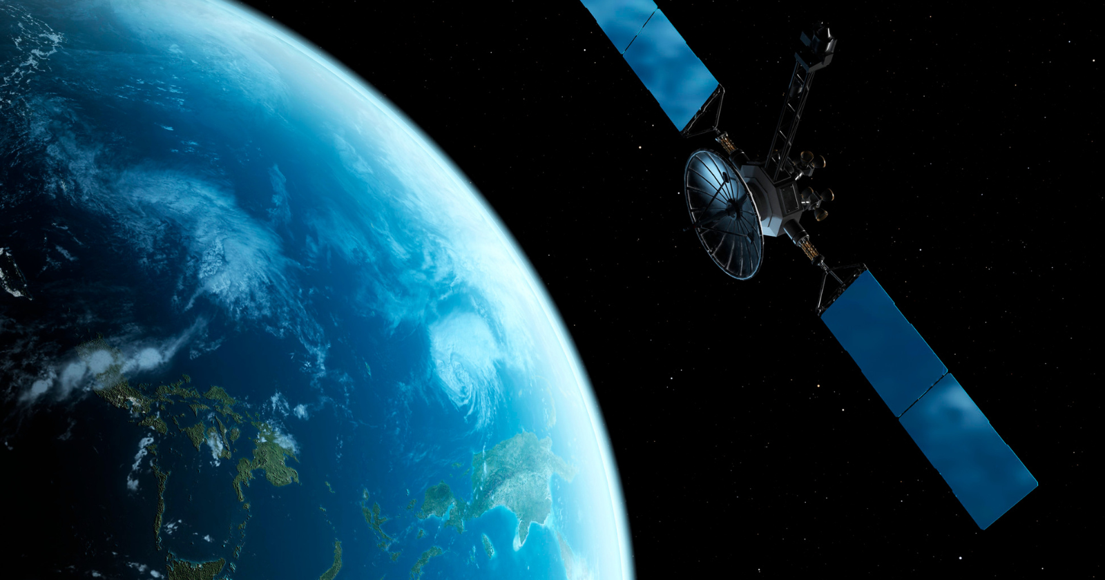
Aqua is one of three satellites at the core of NASA’s Earth Observing System, a coordinated constellation that simultaneously measures land, ocean, and atmosphere. The other two are Terra and Aura. Together, the EOS fleet has underpinned research into aerosol effects on cloud formation, the deforestation of the Amazon, and the darkening of ocean surfaces linked to phytoplankton change. All three are at risk from orbital debris.
According to the Space.com report, citing a 2018 NASA assessment, the EOS fleet performed at least 32 debris-avoidance manoeuvres between 2005 and 2018. The Land Data Products Evaluations Assessment logs suggest that some of those manoeuvres may have left corrupted data in the climate record. The report’s authors noted that the collision risk for EOS satellites from orbital debris was increasing, and described the trajectory plainly: things will get worse before they get better.
The cost is not only scientific. Andrew Bonwick, vice president at Relm Insurance, which prices satellite collision risk, told Space.com that each avoidance manoeuvre consumes fuel that cannot be replaced. Each time a satellite has to manoeuvre to avoid a potential collision, he said, it uses fuel which is a finite and precious resource. For satellites tasked with imaging specific areas on a tight schedule, the problem is compounded. Where imagery is time-critical or depends on frequent revisits, Bonwick told Space.com, the job may simply not get done.
The debris environment in numbers
The scale of the problem has grown substantially in a short time. In 2005, ESA was tracking approximately 16,000 pieces of orbital debris. By 2026, that figure had risen to more than 44,000, an increase of roughly 180 percent. The tracked objects represent only a fraction of the actual debris population: ESA estimates more than a million pieces too small to track are in orbit. Even small fragments, a fleck of paint included, carry enough kinetic energy at orbital velocities to damage or destroy a functioning satellite.
Debris originates from several sources. Satellites break apart through collisions and through anti-satellite weapons tests, including tests conducted by China and Russia. On 28 April this year, two Russian spacecraft passed within approximately 3 metres of each other in orbit, according to Space.com’s reporting. ESA’s DISCOS database records four confirmed collision events in orbit, including a 2021 incident in which debris from a Russian Zenit-2 rocket struck China’s Yunhai-1 02 Earth-observation satellite. ESA estimates a 20 percent increase in collision risk since 2024.
The increasing risk has begun affecting satellite insurance markets. Satellites have become increasingly difficult to insure, which means government agencies and NGOs are bearing more of the financial exposure when a spacecraft is damaged or lost. MethaneSAT, a satellite designed to track methane emissions, stopped transmitting just fifteen months into its operational life in June 2025 after a sudden, unexplained shutdown. Investigators could not identify a single root cause, concluding only that a solitary event had occurred in either the avionics unit or electrical power subsystem. According to Bonwick, had that satellite not been insured, it would have killed the whole company.
Aqua’s situation specifically
Aqua is approaching the end of its operational life. The satellite was designed for a six-year mission; it has now been orbiting for nearly 24 years, completing more than 126,000 orbits and contributing to at least 30,000 scientific publications, according to NASA. It is due to be switched off later in 2026. Fewer than 30 kilograms of fuel remain, held in reserve to lower the satellite into the atmosphere for a controlled re-entry.
Once Aqua is switched off, it will no longer be able to manoeuvre away from incoming debris. The US government’s standard for collision risk for its satellites is 1 in 1,000; that risk increases once a spacecraft is no longer able to conduct avoidance burns. Until the switch-off, Aqua continues to orbit with limited manoeuvrability, occupying the same altitude band, around 705 kilometres, where debris density is highest.
Aqua Project scientist Claire Parkinson noted in 2022 that had the team known the satellite would survive 20 years, they might have carried more fuel from the start. The satellite had already survived a battery short-circuit, a solar panel thermistor failure, and the loss of 23 solar cell strings over its lifetime. Careful fuel management extended its life considerably beyond its design envelope. That margin is now largely gone.
What follows Aqua
NASA’s fire-tracking data is set to continue through the Visible Infrared Imaging Radiometer Suite, a sensor carried on multiple NASA platforms, after Aqua and Terra are retired. But the EOS fleet’s climate record will be difficult to replicate in full. The constellation was designed to observe land, ocean, and atmosphere simultaneously from coordinated orbits; that coordination took years to establish and has no direct replacement currently funded.
With NASA’s budget under pressure, private entities are beginning to fill at least part of the gap. Google has published plans to launch a dedicated fire-detection satellite constellation, promising finer resolution and the ability to detect smaller fires than current systems. What that constellation will carry in terms of broader climate-observing capability, and what orbital regime it will occupy, has not been detailed in the plans published to date.
The broader question the Space.com report raises without fully resolving is a structural one. Low Earth orbit is the most congested orbital shell, the same zone where debris concentrates and where climate-observing satellites must fly to capture the data they were built for. The collision risk is rising faster than any current clean-up programme is able to address it.
The next generation of science satellites will be operating in a more dangerous environment than the one Aqua launched into in 2002, and they will not have 24 years of careful fuel management available to them as a buffer.