
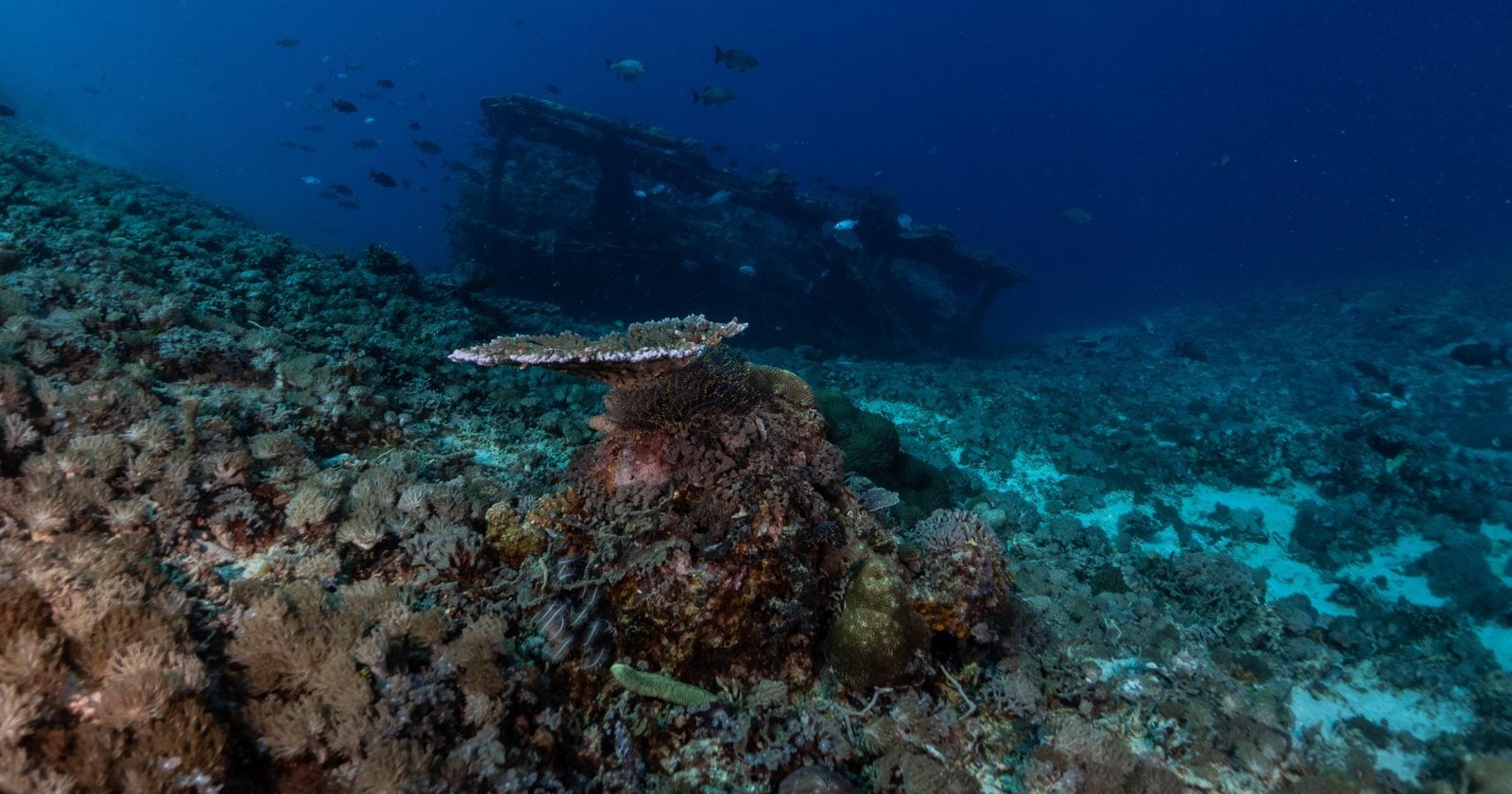
The drone was not looking for a shipwreck. It was working through a stretch of seabed off Ramatuelle, near Saint-Tropez in southeastern France, as part of a government project to map the deep floor and keep track of what lies down there, from minerals to undersea cables. Then the sonar returned a shape it could not explain: something large, more than two kilometers down, that no chart had ever logged.
How did a merchant ship from the 1500s end up so far below the surface, and so well preserved that officials would later call it unprecedented?
What the drone actually found
Nobody knew at first that they had a wreck. The confirmation came in stages. The sonar flagged the object; a camera went down to look; then a robot went down to look properly.
Thierry de la Burgade, a deputy maritime prefect, described the sequence to CBS News: “The sonar detected something quite big, so we went back with the device’s camera, then again with an underwater robot to snap high-quality images.”
The images showed a merchant ship roughly 30 meters long and 7 meters wide, resting about a mile and a half beneath the Mediterranean. The team gave it a provisional name, Camarat 4. Arnaud Schaumasse, who heads the culture ministry’s underwater archaeology department, was careful about the record it set, telling CBS News: “It’s the deepest shipwreck ever found in French territorial waters.”
The previous record holder was not an old sailing ship at all. It was La Minerve, a submarine that sank in 1968 with 52 crew aboard, minutes into a routine mission, and was found off Toulon. Camarat 4 sits deeper still. In a statement translated from French, it was said the ship “was discovered unexpectedly during an exploratory mission conducted as part of the ministerial strategy for mastering the seabed.”
Why so deep and so intact
Depth usually makes a wreck harder to study. In this case it is the reason there was anything worth studying at all.
The water that far down is cold, dark, and well below the reach of the recovery and fishing that scrape and shred shallower sites over the centuries. Nothing had disturbed it. Marine Sadania, an archaeologist on the study team, described the effect to CBS News: “the site, thanks to its depth which prevented any recovery or looting, has remained intact, as if time froze, which is exceptional.”
That phrase captures how striking it looks, not that the site is perfectly untouched. The same reporting noted modern waste near the wreck, including a soda can and an empty yogurt container that had drifted down and settled on the seabed. Even the deep Mediterranean is not sealed off from the surface. But the ship and its cargo are largely undisturbed, which is what matters for anyone hoping to read them.
Reading the cargo
The cargo is what turns a hull on the seabed into a story about who was sailing where, and why. The team counted around 200 ceramic jugs with pinched spouts, many marked with an IHS monogram or with plant and geometric patterns. Alongside them were roughly 100 yellow plates, two cauldrons, an anchor, and six cannons. Those decorated jugs are the tell. Their style points to Liguria, in northern Italy, which is where the ship is thought to have set out from, loaded with pottery and metal bars, before it went down off the French coast in the 1500s.
The plan now is patient. Rather than haul everything up, the team intends to spend about two years building a full 3D digital reconstruction of the site and taking samples from only a few items. DRASSM’s own summary, quoted by CBS News, calls Camarat 4 “a remarkable discovery for its depth, unprecedented character and the opportunity it offers to study an almost intact 16th-century wreck.” That is the agency describing its own find, so read it as an enthusiastic self-assessment. The “almost intact” is the honest and interesting part.
Who gets to study wrecks now
Perhaps the biggest shift here has nothing to do with the ship itself. A merchant vessel resting nearly two and a half kilometers down would have been, until fairly recently, effectively unreachable. Divers cannot work at that depth. For most of the history of the field, a wreck this deep was a rumor at best. What changed is the machine that found it: a self-guided drone doing routine seabed mapping for a government resource program, not an archaeology expedition at all.
That is the genuinely new thing here. The tools built to survey the deep floor for cables and minerals turn out to be the same tools that stumble onto history, and they stumbled onto this one by chance. The depths that once protected wrecks from looters are no longer out of reach for anyone with the right robot. The people best placed to find the next Camarat 4 may not be archaeologists first. They may be whoever is already down there mapping.
Which leaves a question the wreck poses just by existing. If the deepest known shipwreck in French waters was found not by a hunt but by a drone passing over on other business, how many more are sitting in the dark a couple of kilometers down, on seabed no one has mapped yet? The Mediterranean has been a shipping lane for thousands of years, and until now the deepest of its losses were beyond anyone’s reach. That floor is reachable now, and what else is on it is a question we have only just started to be able to ask.
