
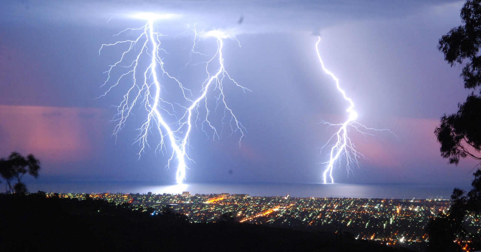
On the afternoon of 22 October 2017, a large thunderstorm complex moved across the central United States, extending at its peak from Minnesota down to Texas. The system produced ordinary severe weather across multiple states. It also produced, somewhere inside its cloud structure, a single connected electrical discharge that travelled 829 kilometres horizontally, from eastern Texas through Oklahoma, Arkansas, and Kansas to near Kansas City, Missouri. The Peterson et al. 2025 paper in the Bulletin of the American Meteorological Society documenting the event establishes its duration at 7.39 seconds. Along its path it produced more than 116 separate cloud-to-ground strikes, 83 of negative polarity and 33 of positive polarity, as recorded by the Earth Networks Total Lightning Network and reported in the same paper.
It was, by what is now the formal definition, a megaflash. It was also the longest lightning discharge ever recorded on Earth.
Nobody knew that in 2017. The flash was not identified in the initial analysis of the storm. According to the Georgia Tech Research Institute’s account, the megaflash was found through a reanalysis of the archived satellite data conducted in 2024, after improved processing techniques were developed. The World Meteorological Organization certified the record on 31 July 2025, with a margin of error of plus or minus eight kilometres. It is 61 kilometres longer than the previous certified record, set on 29 April 2020 over the southern United States and certified in 2022.
The relevant comparison is not against the previous record. It is against an ordinary bolt of lightning, which travels somewhere between five and fifteen kilometres before it terminates. The October 2017 flash is roughly fifty to a hundred and fifty times longer than a typical lightning bolt, by the lower estimate, and the people standing in eastern Texas at the time it began and the people standing near Kansas City at the time it ended were watching, in a literal sense, the same electrical event.
What a megaflash is
A megaflash is not a different kind of lightning. The mechanism is the one that produces every thunderstorm flash: ice and water particles inside a storm cloud collide as they rise and fall on the updrafts, transferring electrical charge, until the charge separation becomes too large for the surrounding air to hold and the cloud discharges. The flash is the discharge.
The difference is geometric. Most thunderstorms are isolated cells, vertical columns of rising air a few kilometres across. The charge separates vertically, the discharge travels mostly vertically, and the resulting bolt is short. Megaflashes happen in a particular type of large, long-lived, horizontally extensive thunderstorm system called a mesoscale convective system, which can stretch over hundreds of kilometres of connected cloud structure. A 2023 paper in Earth and Space Science by Michael Peterson at the Georgia Tech Research Institute documented the storm-system characteristics of megaflash producers, working from continuous satellite observations of the Americas between 2018 and mid-2022. The paper found that megaflash-producing thunderstorms have a median lifetime of 14 hours and a median area of roughly 12,000 square kilometres, large enough to cover a small US state.
The mechanism Peterson has set out in interviews is straightforward in principle. The top of the troposphere sits at approximately eleven kilometres above ground level. The thunderstorm cannot push its charged particles higher than that. When they cannot go up, they go out. Inside a large connected storm system, the discharge can propagate laterally through the cloud structure for hundreds of kilometres along the upper boundary of the storm, branching down to the ground at multiple points along its length.
Megaflashes are not common. Peterson has estimated that they occur in roughly one in a thousand thunderstorms across the Americas. They concentrate in two parts of the world. The first is the US Midwest and Great Plains, where the October 2017 event occurred. The second is southeastern South America, which produced the previous distance record before 2020 and which still holds the longest-duration record, a 17.102-second flash on 18 June 2020 over Uruguay and northern Argentina.
How they are measured
Ground-based lightning sensors had been documenting individual cloud-to-ground strikes for decades before megaflashes were recognised as a distinct category. The instrument that made the discovery possible is the Geostationary Lightning Mapper, a continuous optical sensor that flies on the GOES-16, 17, 18, and 19 weather satellites and observes the western hemisphere from geostationary orbit. The first of these instruments, on GOES-16, became operational in late 2017. It happened to be active and observing when the October 2017 storm developed.
The instrument records the optical signature of a lightning discharge from above, looking down at the tops of the clouds. From geostationary orbit, it can see the entire horizontal extent of a flash that would be impossible to track from the ground because the parent storm system is hundreds of kilometres across. NOAA’s National Environmental Satellite, Data, and Information Service, which operates the GOES constellation, makes the lightning data publicly available. The raw data archive runs back to the satellites’ commissioning and contains, at any given time, several years of continuous observation of every storm system in the western hemisphere.
The 2017 megaflash was in that archive from the moment it occurred. The reason it took seven years to be identified is that the original data-processing software was not designed to recognise a single discharge spanning that much area. The Peterson team developed new processing techniques and ran them across the archived data. The October 2017 storm produced several megaflashes; three were analysed and used to formulate the formal definition of the category. The peer-reviewed publication establishing the new record appeared in the Bulletin of the American Meteorological Society on 31 July 2025.
What was overlooked
The implication of the 2024 reanalysis is the part of the story that the headline numbers obscure.
The 829-kilometre flash was not unique. It was simply the largest of several megaflashes that occurred in the same October 2017 storm, none of which were noticed at the time. The data archive of the Geostationary Lightning Mappers now contains nearly nine years of continuous observation, with comparable coverage of southeastern South America from the satellites’ geographic vantage. Peterson, in the statement accompanying the WMO certification, said directly that even greater extremes likely exist in the archive and that improved processing will continue to surface them.
The public-safety implication, in language used by Randall Cerveny of Arizona State University in the WMO press release, is that lightning can strike a long way from the visible parent thunderstorm. Cerveny is the WMO’s rapporteur for weather and climate extremes and chaired the certification committee. Most lightning injuries occur not at the height of a storm but before it has fully arrived or after it has passed overhead. The phrase the WMO uses, drawing on lightning-safety terminology long established by NOAA and the US National Weather Service, is “bolt from the blue,” meaning a strike from an apparently clear sky that is actually being produced by a storm structure some distance away. The standard guidance is to wait at least half an hour after a thunderstorm appears to have passed before resuming outdoor activity. A megaflash of the scale of the October 2017 event widens the relevant radius substantially.
The category of “longest lightning flash ever observed” has, in effect, only existed as a measurable thing since approximately 2017, which is also the year in which the current record was set. The first formal megaflash distance record was certified by the WMO in 2020. The current record was certified in 2025. The instrument that makes the observation possible has been in operation for less than a decade. The data-processing techniques required to identify the longest flashes are still being refined.
The 22 October 2017 megaflash is the longest electrical event humans have ever directly observed. It happened above five US states in the time it takes most people to draw a long breath. The instruments to see it had been in orbit for less than a year when it occurred. The processing methods to recognise what they had seen took another seven years to develop. The full archive has not yet been searched.
It is likely that, by the time the next certification cycle comes around, this record will not hold.
