
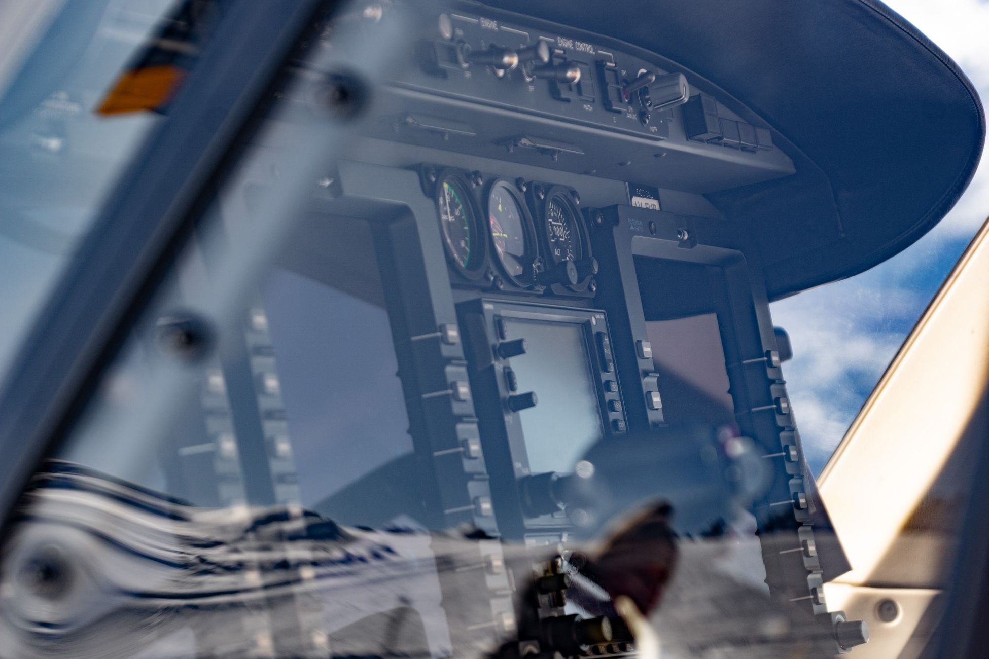
On the morning of June 22, 2017, the crew of the tanker Atria, steaming in the Black Sea near the Russian port of Novorossiysk, watched their GPS receiver calmly report their position as Gelendzhik Airport, roughly 25 nautical miles inland. The screen showed a strong signal, four satellites locked, no error flags. Multiple other ships in the area reported similar anomalies at the same time. None of them were where their instruments said they were. The incident was logged as the first well-documented mass GPS spoofing incident at sea, and it announced, quietly, that the era of jamming was ending and the era of lying was here.
Jamming a GPS receiver is loud. Spoofing it is polite.
A jammer drowns the faint signal from the constellation of GPS satellites with radio noise on the L1 (1575.42 MHz) or L2 (1227.60 MHz) bands. The receiver notices immediately. The display throws up warnings, the position freezes, the pilot or captain or truck driver knows something is wrong and can fall back on inertial units, celestial fixes, radar, or paper charts. Jamming is a burglar breaking a window. You hear the glass.
What the receiver is actually doing
A civilian GPS receiver is not, in any meaningful sense, verifying who is talking to it. It listens for a specific pseudo-random code broadcast by each satellite, measures the arrival time to nanosecond precision, and solves for its own position by trilaterating against at least four of those timing signals. The civilian C/A code on L1 is public. Its structure has been in open technical literature since the 1970s. Anyone with a software-defined radio, an off-the-shelf signal generator, and roughly the price of a used car can transmit a counterfeit constellation.
The receiver will happily lock onto the strongest coherent signal it can find. If a spoofer broadcasts a slightly stronger, perfectly formatted version of what the satellite should be saying, the receiver switches over without complaint. No warning light. No dropped fix. The position on the screen drifts, or jumps, or sits perfectly still on a false coordinate while the vehicle moves.

Why the screen stays calm
Most consumer and commercial GPS units were designed in an era when the only threat model was accidental interference: a bad antenna, a solar flare, a truck driver with a $30 jammer trying to hide from a fleet tracker. The firmware trusts the signal. If the message parses, the checksum matches, and the geometry solves, the receiver reports a fix and moves on.
A modern spoofer exploits this trust by first matching the real signal’s timing and power, then slowly walking the receiver away from truth. Researchers at the University of Texas at Austin demonstrated this in 2013 aboard a superyacht in the Mediterranean. The team transmitted a counterfeit signal from a small device on the upper deck. The yacht’s navigation system accepted the false coordinates and began correcting its heading to compensate for a drift that did not exist. The crew, watching the same screens, saw nothing unusual. The ship steered itself several hundred meters off course while reporting that everything was fine.
That is the whole trick. The lie is indistinguishable from the truth by any check the receiver knows how to perform.
The pilot problem
Aviation makes the stakes concrete. Modern airliners use GPS as an input to inertial reference systems, terrain awareness, ADS-B position reporting, and increasingly for precision approaches to runways that no longer have traditional instrument landing systems maintained to full standards. A spoofed receiver in an aircraft on final approach can be persuaded that the runway threshold is a few hundred meters north, or south, or 200 feet lower than it actually is.
Since late 2023, commercial pilots flying near conflict zones — the eastern Mediterranean, the Black Sea, the Baltic, northern Iraq, the Persian Gulf — have filed numerous reports through aviation safety networks describing GPS positions that suddenly placed their aircraft in Beirut, in Cairo, in Tel Aviv, while they were flying over Cyprus. In some cases the false position triggered ground proximity warnings at cruise altitude. In others the aircraft clock jumped by hours, cascading into failures of unrelated systems that depend on GPS time.
Aviation safety authorities have issued safety bulletins. The recommended mitigation, for now, is procedural: cross-check GPS with VOR, DME, and inertial navigation, and treat the magenta line on the flight display with suspicion. That is a remarkable admission. The primary navigation system of global aviation is being asked to be doubted by default.
Why this is a cognitive attack, not just a technical one
The cruelty of spoofing is that it targets not the machine but the human loop around the machine. A jammed pilot knows to switch modes. A spoofed pilot keeps flying the airplane with confidence, correcting toward a phantom, becoming more wrong with every input.
The pattern of stubborn confidence that persists even after deception is revealed is well-documented in studies of decision-making under falsified information. The brain, having built a model of the situation, resists dismantling it. Cockpit voice recorders from other kinds of navigation accidents show the same shape: crews arguing with reality for several minutes after the instruments have stopped agreeing with the world outside the windshield.
Research on how humans process misleading inputs keeps arriving at the same finding — that a signal which looks authoritative and internally consistent bypasses the reflective checks people would otherwise apply. A calm GPS screen is exactly that kind of signal. It has looked right ten thousand times before.

The Novorossiysk pattern
Back to the Black Sea. What the Atria incident revealed, once researchers analyzed the AIS data, was that the spoofing was not a rogue experiment. It was area denial. Ships in the vicinity of a Russian coastal facility were being pushed onto the map at a nearby airport — a signature location that also caused consumer drones to refuse to fly, because DJI’s geofencing treats airports as no-fly zones. The spoof was doing two jobs at once: hiding what was on the water and grounding anything that might photograph it from above.
Since then, similar patterns have been documented in multiple locations around Russia and in conflict zones. Satellite navigation interference is now considered a routine tool of statecraft, not a fringe capability.
What defenses actually exist
Military GPS uses the encrypted M-code and P(Y) signals, which are cryptographically authenticated and much harder to counterfeit. Civilian users have been promised something similar for two decades. Galileo, the European constellation, is rolling out an Open Service Navigation Message Authentication (OSNMA) that lets receivers verify a digital signature on the navigation message. It went into initial service in recent years. Uptake in consumer chipsets is still limited.
The other defense is redundancy. Iridium’s acquisition of the world’s only space-based flight-tracking network in 2026 was, at bottom, a bet that GPS alone can no longer be trusted for global position reporting and that a low-earth-orbit alternative timing and location signal is worth billions. Dual-source timing systems are being deployed that cross-check GNSS against terrestrial atomic references, so that a spoofed satellite signal cannot silently poison a data center or a power grid.
Machine-learning approaches are also being tested. Neural networks are being trained on raw GPS signal characteristics — noise floor, angle of arrival, Doppler curves — to flag transmissions that look right to a legacy receiver but wrong to a model that has learned what an authentic constellation should look like.
The unsettling asymmetry
Spoofing costs the attacker very little and the defender an enormous amount. A hobbyist spoofer can be built for under $1,000. Hardening a global fleet of aircraft, ships, tractors, mobile phones, financial-trading time servers, and power-grid synchrophasors against it will take a decade and hundreds of billions of dollars. Every one of those systems was built on the quiet assumption that the sky tells the truth.
The broader erosion of trust in machine-mediated information has an analogue here. When the instrument no longer distinguishes between a real satellite 20,200 kilometers overhead and a shoebox transmitter on a nearby rooftop, the operator has to hold two possibilities in mind at once, forever. That is exhausting. It is also, increasingly, the job.
The runway that isn’t there
Picture the specific moment the title promises. An aircraft on approach at night, low cloud, autopilot coupled to the navigation system. The magenta line on the display curves gently toward a runway centerline. The altitude readout descends smoothly. The captain’s scan cycles through airspeed, attitude, altitude, heading. Everything agrees with everything else. The GPS position is a green dot on a chart, sitting exactly where it should sit.
The runway on the chart is not the runway outside the windshield. The two are separated by 400 meters of grass, or a taxiway, or a hill, or a housing estate. The instruments will not tell the crew this. The instruments do not know. They are reporting, with full confidence, a coherent lie that arrived on the correct frequency, in the correct format, with the correct timing, from a transmitter that costs less than the coffee machine in the galley.
The screen stays calm. That is the whole problem.
