
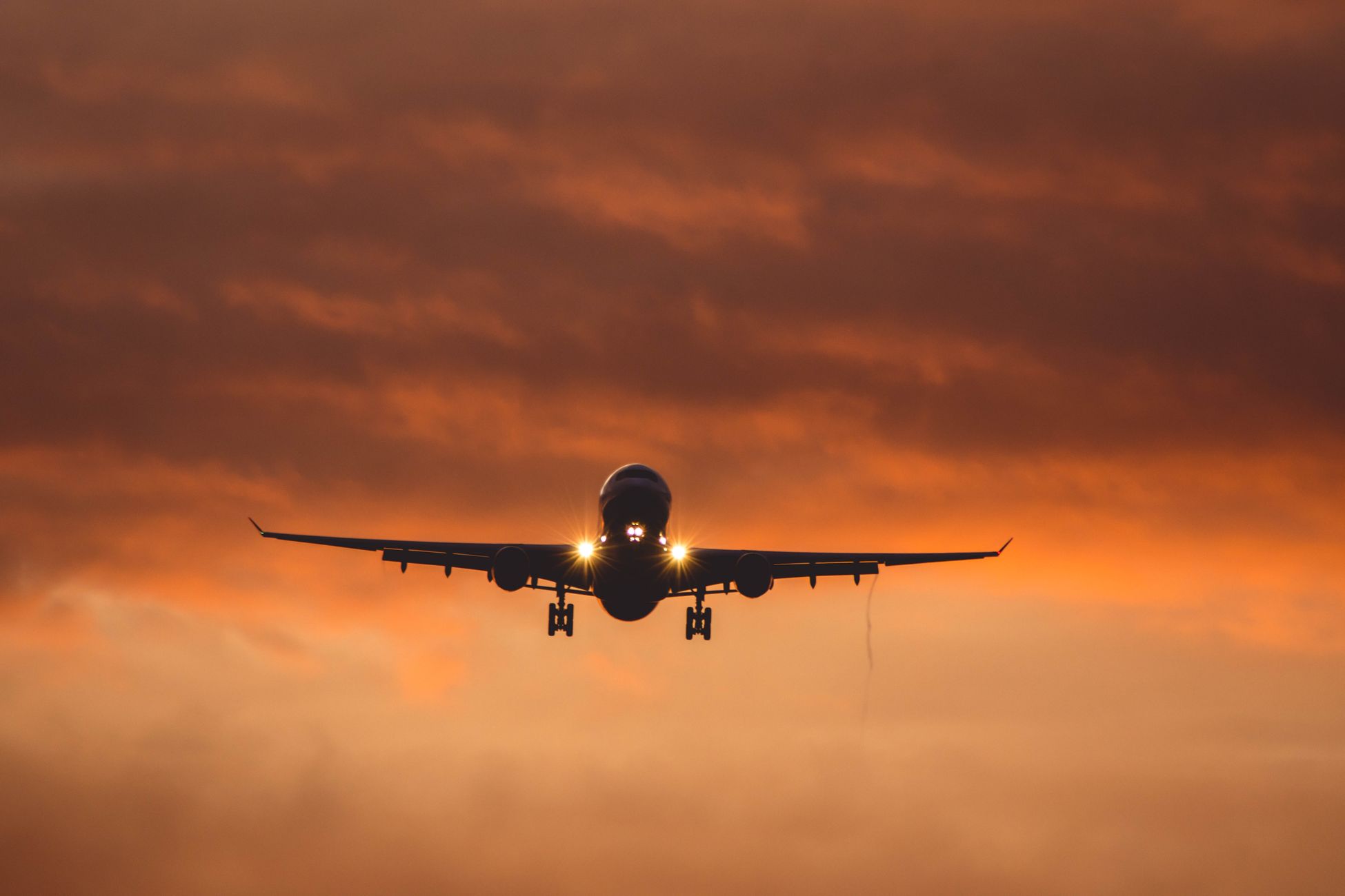
On the afternoon of January 16, 2025, a Ryanair Boeing 737 MAX 8-200 inbound from London Luton was descending toward Vilnius International Airport in Lithuania when its cockpit instruments began disagreeing with each other. The crew, sensing something was wrong with data they were supposed to trust absolutely, pushed the throttles up, retracted the gear, and climbed away from the runway. Nothing on the aircraft was mechanically broken. The autopilot, the flight directors, the altimeters — all working. And yet the plane could not safely land in Lithuania that evening, so it climbed back to cruising altitude and set course for Poland.
The culprit was invisible, originated on the ground, and had been drifting across the eastern Baltic for weeks.
It was GPS interference — the kind that can either blind a satellite receiver or feed it a fabricated position. And Vilnius, along with a widening arc of airspace from Tartu in Estonia to the Polish border, had become one of the most electromagnetically hostile skies in commercial aviation.
A landing that unravelled in the last thirty seconds
Ryanair flight FR3466 had been routine for over two hours after departing Luton at 14:35 local time. According to Flightradar24 tracking data, the 737 flew across the North Sea, the Netherlands, Northern Germany, and Poland before reaching Lithuania. Over Vilnius, the aircraft completed a full circuit at around 4,000 feet before turning to intercept the localizer for runway 19 and beginning its final descent through the winter murk.
Then the numbers on the primary flight displays started to drift.
The aircraft’s onboard systems cross-check GPS against inertial reference units — spinning gyros and accelerometers that measure motion without needing any outside signal. When those two sources begin to disagree by more than a small tolerance, the flight management computer throws a warning. At roughly 850 feet above the ground, with the runway lights already visible somewhere ahead, the crew elected to abandon the approach.
They did the thing every airline pilot is drilled to do when the picture stops making sense on short final. They went around. Full thrust, positive climb, gear up, flaps retracted on schedule. The 737 climbed straight ahead all the way back to 28,000 feet, and the crew told Vilnius they were unable to complete the approach.
Warsaw, then back again the same night
According to the spokesperson for Oro Navigacija, Lithuania’s air navigation service provider, other flights operating into and out of Vilnius that day had landed as normal — the interference picture the FR3466 crew saw was specific to their own instruments. Rather than reattempt the approach, they routed roughly 400 kilometres southwest to Warsaw Chopin Airport, landing safely at 18:16 GMT.
Passengers who had boarded in London expecting to sleep in Vilnius that night ended up in a different country entirely — for about three and a half hours. The aircraft’s avionics were checked on the ground in Warsaw, and then the same 737 flew the same passengers back to Vilnius, landing there at 23:48 GMT — around five hours later than scheduled, but on the runway they had been aiming for all along.
The diversion was attributed to GPS signal interference. No injuries. No damage. No mechanical fault of any kind to write up in the maintenance log. Lithuania’s Defence Minister Dovile Sakaliene announced an official investigation.
How you make an airliner believe a lie
GPS was designed in the 1970s for a world without hostile transmitters. The signal that reaches a receiver on Earth from a satellite roughly 20,200 kilometres overhead is astonishingly faint — weaker than the thermal noise of the receiver itself. The system works only because the signal carries a known code that the receiver can pick out of the noise by correlation.
Which means a ground-based transmitter, broadcasting the same code structure a few kilowatts louder, can drown the real satellites and hand the receiver whatever position and time it wants to invent.
Jamming is the crude version — just blast noise on the GPS frequency and the receiver goes blind. Spoofing is the sophisticated version. The receiver still thinks it has a fix. The fix is wrong. In the Baltic, both are in use.
Modern airliners defend against this in layers. Inertial navigation runs continuously. Ground-based radio navigation aids — VOR beacons, DME transponders, ILS localizers — provide independent position references. Air traffic radar tracks the aircraft externally. But on a coupled instrument approach in low visibility, the autopilot and the flight director lean heavily on GPS-derived position data, and when that data goes bad close to the ground, going around is the only sane response.
The Baltic sky has been getting worse for months
The Vilnius incident was not an isolated event. Since Russia’s full-scale invasion of Ukraine in February 2022, GPS interference across the Baltic states, Finland, Poland, and the Black Sea region has escalated from occasional to constant. In April 2024, Finnair temporarily suspended its Tartu, Estonia service after GPS interference on final approach forced two aircraft to turn back to Helsinki; flights only resumed once alternative ground-based navigation aids independent of satellite signal had been built into the airport’s approach procedures.
The interference is widely attributed to Russian electronic warfare systems operating from Kaliningrad — the Russian exclave wedged between Lithuania and Poland — and from areas near the Finnish and Estonian borders. According to Lithuania’s air navigation authority, more than 800 instances of GPS signal interference had been reported in the country since November 2024 alone — up from just 124 for the whole of 2023.
Estonia and Finland have both formally accused Russia of the disruptions. Russia has denied any involvement. The International Civil Aviation Organization has been monitoring the pattern as a threat to civil aviation safety.
What the crew actually saw
Pilots who have flown through Baltic interference zones describe the same disorienting symptoms. The moving map on the navigation display shows the aircraft suddenly hundreds of kilometres from where it actually is — often placed on top of a Russian airport, a known regional signature. The clock in the flight management system jumps by seconds or minutes. Terrain awareness systems trigger false warnings because the box thinks the plane is over mountains it is not near. Autopilot modes drop out. In some cases the aircraft’s onboard clock, which many modern avionics slave to GPS time, drifts far enough to lock the crew out of certain systems entirely.
None of this reflects any real mechanical fault. It is a healthy aircraft being told a coherent, plausible, entirely false story about where it is in the world.
Going around is the whole point of training
The Ryanair crew’s decision at 850 feet is the quiet hero of the story. Commercial pilots practise go-arounds regularly in the simulator, and the discipline is drilled deep: if the approach is not stable, if the picture is not right, if any parameter goes outside limits, you do not try to salvage it. You add power and climb.
The stable-approach criteria most airlines apply below 1,000 feet in instrument conditions include the aircraft being on the correct lateral and vertical path, at the correct speed, in the correct configuration, with all required navigation references valid. A GPS-inertial disagreement invalidates the last one instantly.
The 737 was, by every mechanical measure, ready to land. The runway was there. The weather was flyable. The only thing wrong was the electromagnetic environment outside the aircraft — and that was enough.
The Cold War answer that keeps coming back
Aviation’s response to widespread GPS interference has been to reinvest in the older, sturdier, non-satellite navigation infrastructure that many countries had begun to decommission as GPS became universal. VOR stations dating from the 1950s. DME beacons. Instrument landing systems that transmit from the runway itself and cannot be spoofed from Kaliningrad without a transmitter physically inside Lithuania. Estonia’s fix at Tartu was exactly this — bolting proven 20th-century radio aids back onto a runway whose modern approach procedures had assumed GPS would always be there.
Airbus and Boeing have both been updating flight management software to detect interference signatures more aggressively and to fall back to inertial-only navigation more gracefully. But the deepest layer of defence remains a human being in the left seat who is willing to reject a landing when the instruments start to lie.
The passengers made it there in the end
Most of the passengers that afternoon felt the throttles come up, felt the climb, and were told by the crew that they would be diverting to Warsaw. They did not learn, in the moment, that their aircraft had been electronically deceived by a signal beamed across an international border. They learned that Vilnius had a technical issue, or something vague enough to fit in a PA announcement on a Thursday evening. A few hours later, on the same aircraft, they lifted out of Warsaw and finally set down in Lithuania.
The airliner itself flew on the next morning without so much as a wrench being turned. Somewhere in the flight data recorder, in a stream of numbers most passengers will never see, there is a thirty-second window where a healthy machine, following its programming perfectly, was told the ground was in the wrong place, and decided not to touch it.
