
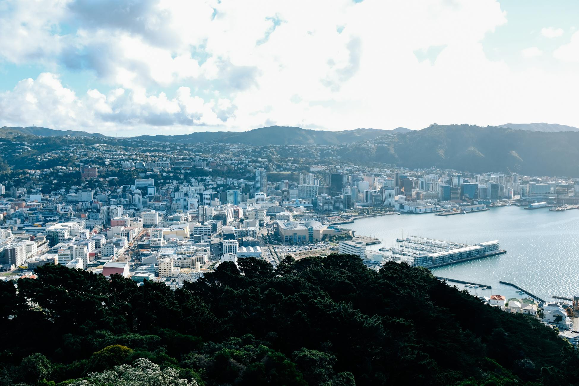
Stand on Piha Beach west of Auckland at low tide. The black sand stretches toward the Tasman, the surf rolls in, and the horizon looks like the edge of the world. It isn’t. The continent you are standing on extends roughly 2,000 kilometres in nearly every direction beneath the waves, five times larger than the country shown on any map you have ever seen. New Zealand is not a pair of islands. It is the exposed summit ridge of a drowned continent called Zealandia, and the reclassification of that submerged landmass is quietly rewriting how scientists, lawyers, and cartographers understand the South Pacific.
Geologist Nick Mortimer and his colleagues at GNS Science, Victoria University of Wellington, the Geological Survey of New Caledonia, and the University of Sydney published the formal case in GSA Today in February 2017, arguing that the landmass beneath New Zealand and New Caledonia meets every geological test for continental status. The name itself was not new. It had first been proposed by geophysicist Bruce Luyendyk in 1995, and Mortimer’s team used the 2017 paper to show why Zealandia should be treated not as a scattering of fragments, but as a coherent continent. It covers about 4.9 million square kilometres, roughly two-thirds the size of Australia, and about 94 percent of it sits underwater. New Zealand’s North and South Islands, together with New Caledonia far to the north, are the only large fragments still breaking the surface of the Pacific.
The continent hiding in plain sight
Mortimer’s team did not discover Zealandia in the sense of stumbling on something unknown. Bathymetric maps had shown the broad, shallow plateau around New Zealand for decades. What the 2017 paper did was apply the four criteria geologists commonly use to define a continent: high elevation relative to oceanic crust, a distinct range of rock types, thicker crust than the surrounding ocean floor, and clearly defined boundaries across a large enough area.
Zealandia passed all four. The crust beneath the Tasman Sea and the Pacific around New Zealand runs between 10 and 30 kilometres thick, against about 7 kilometres for normal oceanic crust and roughly 30 to 46 kilometres for the continental crust of Australia or North America. Zealandia sits at the thinner, stretched end of the continental range, which is why most of it sank, but it is still continental rock, including granite, schist, greywacke, and sandstone, not simply the basalt of an ocean floor.
The scale is hard to absorb. New Zealand’s land area is about 268,000 square kilometres. New Caledonia adds another 18,500. The continent itself spans close to five million square kilometres, which makes the visible portion only a small fraction of the whole. The Chatham Rise east of the South Island, the Campbell Plateau to the south, the Lord Howe Rise stretching toward Australia, and the Norfolk Ridge running up to New Caledonia are all parts of the same broad block of continental crust. The ocean is shallower over them because the rock beneath is lighter, granite-rich, and stands higher than the surrounding seafloor.
How a continent drowns
Zealandia broke away from Gondwana between roughly 85 and 60 million years ago, pulling apart from what is now Antarctica and Australia. The rifting stretched the continental crust like warm toffee, thinning it from a standard continental thickness toward the 10-to-30-kilometre range measured across much of Zealandia today. Thinner crust floats lower on the mantle beneath it. Over tens of millions of years, most of Zealandia subsided below sea level.
The North and South Islands of New Zealand exist because they sit on the boundary between the Pacific and Australian tectonic plates. The collision there has been crumpling and uplifting rock for the past 25 million years, building the Southern Alps and the volcanic spine of the North Island faster than erosion can wear them down. New Caledonia survived above water for related tectonic reasons, riding a separate piece of crust that was pushed up during the same broad period of deformation.
Everywhere else on the continent, the slow sinking won. The Challenger Plateau, the Hikurangi Plateau, and the Bounty Trough are all Zealandian terrain that lost the race against subsidence.
The ship that mapped the underside
In 2017, the International Ocean Discovery Program sent the drillship JOIDES Resolution across northern Zealandia to take core samples from six sites in the Tasman Sea. The expedition recovered more than 2,500 metres of sediment and volcanic rock, giving scientists a deeper record of how the drowned continent moved, rose, sank, and changed through the Paleogene.
Those cores helped show that parts of northern Zealandia had shifted vertically by kilometres. Some areas that are now deep underwater were once much shallower, and the recovered sediments gave researchers new evidence for reconstructing Zealandia’s changing geography through time.
Then, in 2023, GNS Science reported that Zealandia had become the first ever continent to have its geology, volcanoes, and sedimentary basins mapped out to its underwater edges. The map identifies volcanic regions, sedimentary basins, and a 4,000-kilometre granite backbone running through the continent, a topography as varied as any continent above water, just submerged.
What New Caledonia is, geologically
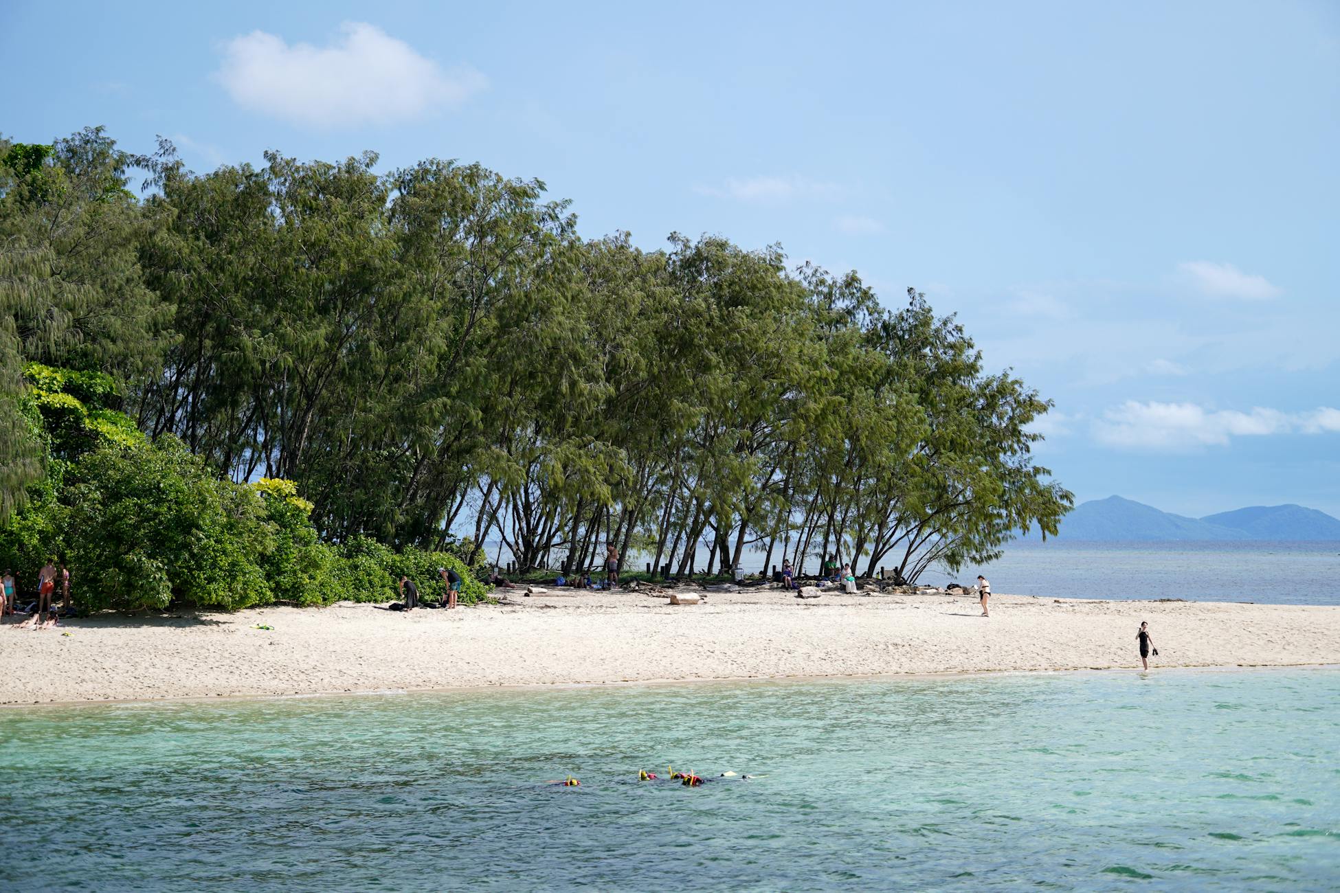
New Caledonia is often described as a Pacific island, lumped together with Fiji, Vanuatu, and the Solomons. Geologically, it has almost nothing in common with them. Vanuatu and the Solomons are young volcanic island arcs, built by subduction on oceanic crust. New Caledonia is an exposed fragment of ancient continental terrain at the northern end of Zealandia, with basement rocks that trace back to Gondwana.
The island’s famous nickel deposits, which have shaped its political and economic life for more than a century, sit in ultramafic rocks associated with an ophiolite: a slice of mantle and oceanic crust thrust on top of older continental basement during a tectonic squeeze. That is what makes New Caledonia so geologically strange. In one place, it preserves both a drowned continent and a piece of ocean floor pushed onto it.
Why “eighth continent” is more than branding
Whether Zealandia counts as a continent depends on who is counting. Geographers traditionally name seven, and that list is taught from primary school onward. Geologists, who care about crustal composition and structure rather than coastlines, increasingly accept eight. The distinction matters because it changes how the region is studied, funded, and understood.
It also overlaps with law and resource management, although not as simply as a slogan about an “eighth continent” might suggest. Under the United Nations Convention on the Law of the Sea, continental shelf claims depend on technical evidence about the seafloor and the outer edge of the continental margin. New Zealand made a submission to the UN Commission on the Limits of the Continental Shelf in 2006 for areas beyond 200 nautical miles, years before Zealandia became a popular headline. The later geological framing gives the public a clearer language for the same underlying reality: much of the seafloor around New Zealand is not abyssal wilderness, but part of a continent’s submerged edge.
The classification also reframes the entire South Pacific. The region looks empty on a standard map, a vast blue space dotted with small islands. The bathymetric map looks completely different. A continent the size of the Indian subcontinent stretches across it, with New Zealand and New Caledonia as the only substantial peaks.
Living on a summit
For a New Zealander or a New Caledonian, the implications are quiet but persistent. The country’s mountains, Aoraki / Mount Cook at 3,724 metres, the volcanic peaks of the North Island, and the chain of New Caledonia’s central range are not isolated highlands rising out of an ocean. They are the highest points of a continental landscape that continues, smoothly and continuously, downward and outward beneath the sea.
Earthquakes in the region are largely the consequence of Zealandia’s slow tectonic argument with the Pacific Plate. The same forces that keep the North and South Islands above water also produce the country’s frequent seismic activity. The land is geologically alive because it is being held up against gravity by ongoing collision.
The fish stocks, seabird colonies, and marine life around New Zealand and New Caledonia also depend on the unusual bathymetry of the continent beneath them. Shallow continental shelves help create nutrient-rich waters and productive ecosystems that ordinary deep-ocean island groups cannot support. The reason the surrounding seas teem with life is connected to the same reason the islands themselves exist: a continent sits just beneath the surface.
The map you grew up with
School atlases still show seven continents and a scatter of Pacific islands. Most globes give Zealandia no acknowledgement. The continent is invisible at the resolution of standard cartography because it is, on average, more than a kilometre underwater.
If sea levels were lower by 2,000 metres, the world map would look strikingly different. A landmass larger than India would appear in the South Pacific, with the present North and South Islands as a narrow mountain range running up its eastern side and New Caledonia as a northern extension. Australia would have a continental neighbour, separated by a shallow sea rather than the deep Tasman.
The water is the only reason that map is not the familiar one. Underneath, the continent is already there, already mapped, already named, with New Zealand and New Caledonia standing on top of it the way a climber stands on the last few metres of a much taller peak.
