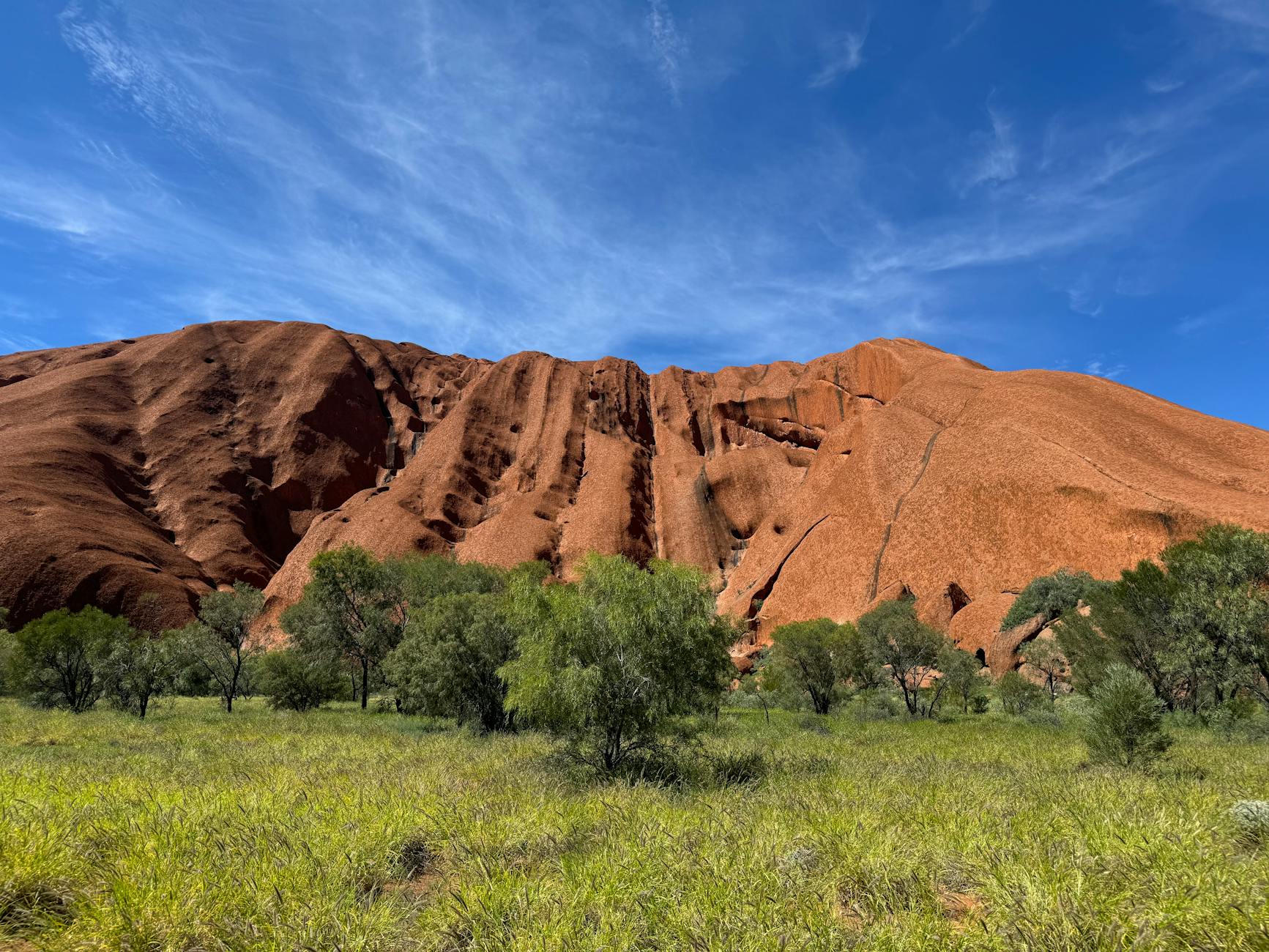
When a group of Warlpiri elders stood along a dirt track between Lajamanu and Yuendumu in the Tanami Desert in 2026, staring at a patch of ground that looked, to outside eyes, like undifferentiated red earth, they were reading something with the precision a surveyor reads a topographic map. The ground held a sequence. The sequence belonged to a song. The song belonged to a route that crossed several hundred kilometres of desert, and the elders were verifying that a younger generation could still recite it accurately enough to find water in country none of them had walked in decades. Mongabay’s reporting on the gathering describes the work as codifying traditional knowledge to care for Country — a phrase that understates what is actually happening at the level of information storage.
The popular framing presents Aboriginal songlines as a kind of spiritual cartography, a poetic overlay on landscape that mixes mythology with vague geographic reference. This framing is correct in its emotional effect and badly incomplete in its mechanics. On close examination, songlines function as a continent-scale navigation system encoded in melodic and lyrical sequences, and the system is estimated to predate the invention of writing by tens of thousands of years. It may be the oldest continuously used navigational technology on Earth.
What a songline actually is
A songline — or yiri, tjukurpa, dreaming track, depending on the language group — is a sequence of verses that names landscape features in the order a traveller encounters them along a specific route. A waterhole, a rock outcrop, a stand of trees, a ridge, a river crossing, a sand dune of a particular shape. Each is named, and each name carries a position in the song. Sing the song in order, and the landscape unfolds in the correct sequence. Sing it backwards, and you walk the route in reverse.
The structural implication of this is that distance, direction, and feature-recognition are bundled into a single mnemonic form. A traveller does not need a map, a compass, or written instructions. The song is the map. The sequence of verses is the sequence of waypoints. The rhythm of the song approximates the pace of travel between them. The Smithsonian’s documentation of guided tours along Blue Mountains songlines describes contemporary guides walking visitors through routes their ancestors first encoded thousands of years ago.
The part worth slowing down on is the network density. Songlines do not exist in isolation. They cross. They intersect at sites that belong to multiple songs, allowing a traveller fluent in one song to transfer to another at known junction points — the same way a passenger transfers between subway lines. A single significant waterhole might appear in multiple songs belonging to different language groups, each approaching it from a different direction. The waterhole is the same. The verses naming it are different. The information is consistent.
The continent as a connected graph
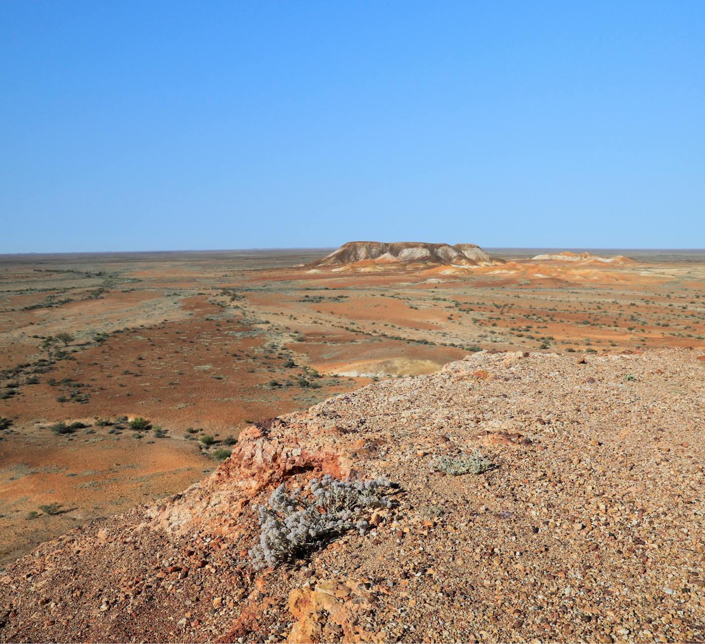
What this produces is a fully connected network spanning roughly 7.7 million square kilometres. Researchers and Indigenous knowledge-holders working on the Black Duck Songline reawakening project have documented a single route stretching more than 300 kilometres across southeastern Australia, crossing what are now state borders, highways, and farmland. The route survived because the song survived, fragments of it carried across generations even where colonisation interrupted the practice of walking it.
The Songlines: Tracking the Seven Sisters project, originally produced by the National Museum of Australia and now touring internationally with the Kiran Nadar Museum of Art, traces one such epic across thousands of kilometres of central and western Australia — a single narrative thread following the Pleiades star cluster through landscape, encoding water sources, seasonal indicators, and inter-group protocols along the way. The reporting from The Hindu’s coverage places continuous human occupation of the continent at roughly 65,000 years ago, consistent with current archaeological estimates.
The accurate statement is this: the songline network is older than agriculture, older than ceramics, older than the domestication of any animal except the dog, older than every writing system humans have ever invented combined.
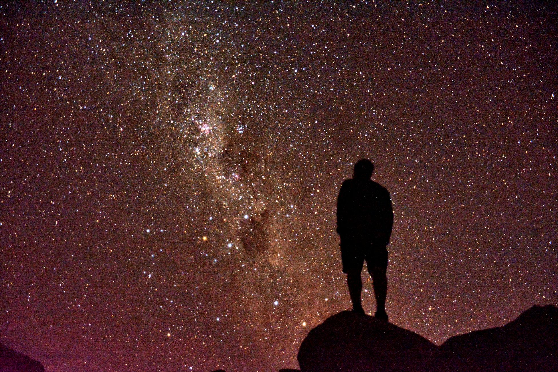
The sky as part of the map
The system extends upward. Aboriginal star maps, documented in research published in The Conversation, encode terrestrial routes in the positions of stars and constellations. The Euahlayi people of northern New South Wales preserved a system in which specific star patterns corresponded to specific overland routes between major waterholes and trading sites. Reading the sky correctly meant knowing where to walk on the ground. Several modern Australian highways — including parts of the Kamilaroi Highway — follow these ancestral travel lines closely, because the original Aboriginal routes were the most efficient paths between water sources, and surveyors in the colonial period frequently formalised tracks that Aboriginal guides had shown them.
The mechanism is straightforward. A given star, rising at a particular time of year, sits at a particular azimuth on the horizon. Walking toward that azimuth carries the traveller along a specific bearing. If the song associated with that star names the waterholes encountered along the bearing, the system becomes self-correcting: the traveller checks position against expected features, and the features confirm or contradict the bearing.
Why the information has not degraded
A reasonable question is how an oral system maintains accuracy across tens of thousands of years when written records routinely degrade across centuries. The answer involves several reinforcing mechanisms.
The songs are sung in ceremony, repeatedly, in front of witnesses who are themselves custodians of the same material. Deviation is corrected immediately. Custodianship is distributed — a single song typically has multiple authorised singers across multiple generations, so the loss of any one individual does not threaten the song’s continuity. The lyrics are bound to landscape features that do not change on human timescales: a granite outcrop, a permanent spring, a distinctive bend in a river. The landscape itself acts as an error-checking mechanism. If the song says the spring is east of the ridge and the spring is in fact east of the ridge, the song is verified. If it is not, either the singer is wrong or the song has drifted, and elders can identify which.
This is not a metaphor. It is a redundancy-engineered information system with continent-scale geographic referents, distributed authorship, and a verification protocol built into the act of travel itself. The arithmetic is unforgiving: if any significant portion of the song were inaccurate, travellers relying on it would fail to find water and would die. The system’s continuity is therefore evidence of its accuracy.
What the system still does
The contemporary Warlpiri work documented by Mongabay involves elders walking younger custodians along tracks while singing the relevant verses, pointing out the features named in each verse, and confirming the correspondence in real time. This is not nostalgic reenactment. It is operational maintenance of a navigational database. The same techniques — embedded knowledge in song, walked verification, distributed custodianship — that worked in the late Pleistocene continue to work today.
The reawakening of the Black Duck Songline involved retracing a 300-kilometre route across southeastern Australia using surviving song fragments, ethnographic records, and landscape correspondence. The route was reconstructed successfully. The waterholes named in the song are still there. The sequence still holds. What was lost was the practice of walking it, not the information encoded in it.
By comparison, the oldest written navigational instructions known to scholarship — Babylonian itinerary tablets, Egyptian sailing directions — are approximately 4,000 years old, and most require substantial reconstruction even to be partially understood. The songline system is more than fifteen times older and remains directly operable by anyone who knows the song. Writers on this site have explored other cases where information persistence on long timescales defies intuition, but the songline case is structurally different: this is not a passive record surviving by accident. It is an active technology that has been continuously used.
The reframing the evidence forces
The standard cultural framing treats writing as the dividing line between societies that could store complex information and societies that could not. On the available evidence, this framing is not quite stated correctly. Aboriginal Australians stored an enormous quantity of precise geographic information — the locations of water across an entire continent, the bearings between sites, the seasonal indicators for safe travel, the protocols for crossing between language groups — without writing, and they stored it for a duration that no written record has come close to matching.
What the songline system reveals is that the relevant variable is not the storage medium. It is the redundancy architecture. Written records concentrate information in objects that can be lost, burned, or forgotten. The songline system distributes the same information across the living memory of many custodians, the geography of the land itself, and the recurring practice of ceremony — three independent substrates, each capable of cross-checking the others. The system was engineered, across an unimaginable span of time, to be unforgettable in the strict technical sense that forgetting it would require simultaneous failure of all three substrates.
That this engineering happened without metallurgy, without agriculture, without permanent settlements, and without anything Europeans recognised as a state, is the part that most clearly contradicts the conventional ordering of what counts as civilisational sophistication. The map of Australia has been sung continuously for longer than any other human artifact has existed. It still works. Anyone who learns the song can still walk it.