The deep ocean covers approximately two-thirds of the Earth’s surface. By the standard scientific definition, it begins at 200 metres below sea level — the depth at which sunlight effectively stops penetrating — and extends to the bottom of the deepest ocean trenches, more than 11,000 metres down. The total area of this deep-sea floor is approximately 335 million square kilometres, more than twice the combined land area of every continent on Earth. It is the largest single ecosystem on the planet, home to the majority of all marine species, and a substantial driver of global carbon cycling, oxygen production, and climate regulation. According to a May 2025 paper in Science Advances led by the marine scientist Katy Croff Bell and her colleagues at the Ocean Discovery League, human beings have visually observed approximately 0.001 percent of it.
The figure translates to roughly 3,823 square kilometres of seafloor — slightly larger than the smallest US state, Rhode Island, or about a tenth the size of Belgium. According to Smithsonian Magazine’s coverage of the study, Bell and her co-authors arrived at the figure by compiling the records of approximately 43,681 deep-sea dives conducted by 14 countries since 1958, the year of the first scientific deep-submergence vehicle expeditions. The total visual coverage from all of those dives, accumulated across 67 years of exploration, fits within the borders of one of the smallest political units in the United States.
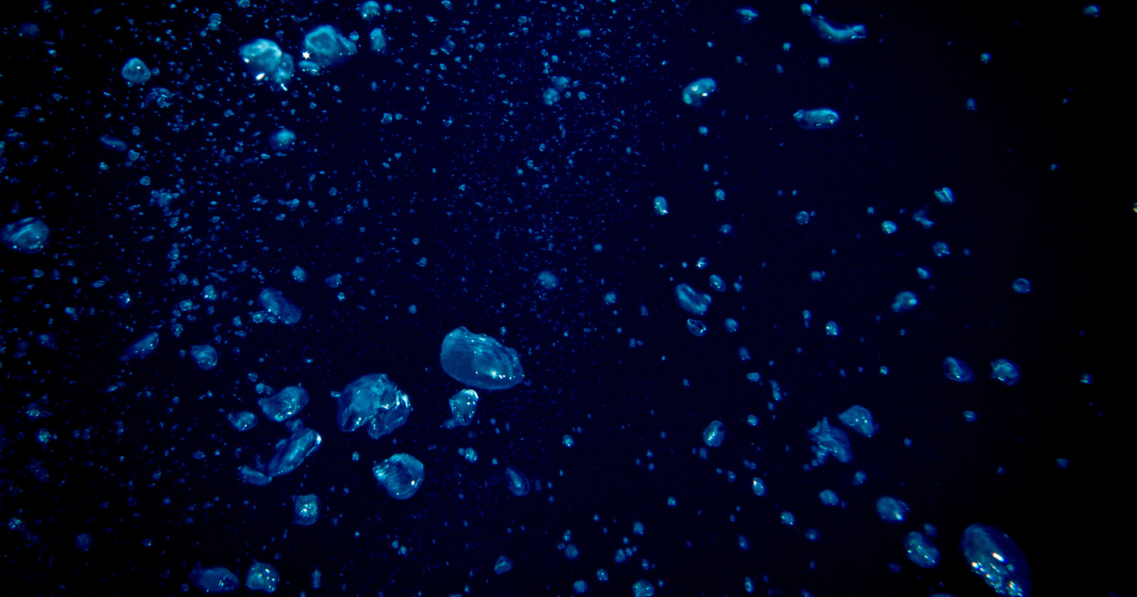
What the imaged sliver looks like
The 0.001 percent figure is not just small but heavily biased in its geographic distribution. According to Scientific American’s coverage of the study, approximately 97 percent of all recorded deep-sea dives have been conducted by institutions in just five countries — the United States, Japan, New Zealand, France, and Germany — and almost all of those have taken place within the exclusive economic zones (EEZs) of those countries, meaning within 370 kilometres of their coastlines. The hot spots include Monterey Bay and the waters off Hawaii in the United States, Suruga and Sagami Bays in Japan, and the waters around New Zealand. Vast stretches of the global deep ocean, including most of the central Pacific, most of the Indian Ocean, the deep Atlantic outside European and North American EEZs, and essentially all of the polar deep oceans, have received almost no direct visual exploration at all.
The bias extends across depth as well as geography. Bell’s team found that, in the 1960s, approximately 60 percent of deep-sea dives went deeper than 2,000 metres — into the abyssal depths where most of the ocean’s volume sits. In the 2010s, only 25 percent did. The trend over time has been toward shallower and closer dives, despite the fact that approximately 73 percent of the deep ocean lies between 2,000 and 6,000 metres deep. The reasons are largely economic. Deep-sea expeditions historically cost millions of dollars per voyage. Coastal dives are cheaper, easier to support logistically, and more likely to produce results that justify the funding. The expensive long-range expeditions to genuinely unexplored regions are correspondingly rare.
The quality of the imagery has also been uneven. Approximately 30 percent of all deep-sea visual observations were captured before 1980, when underwater video and photographic technology was substantially less capable than it is now. Many of these older observations consist of low-resolution black-and-white footage that, even after digital restoration, contains a fraction of the scientific information that a modern high-definition camera can capture in the same dive time. The 0.001 percent figure, in other words, mixes high-quality recent observations with poor-quality historical ones that no longer represent the state of the art.
The Moon and Mars comparison
A point made repeatedly by Bell and her collaborators in interviews surrounding the paper’s release is that the deep seafloor is, in a meaningful sense, less mapped than the surfaces of the Moon and Mars. The entire surface of the Moon has been imaged in high resolution by NASA’s Lunar Reconnaissance Orbiter, with detail down to approximately half a metre. The surface of Mars has been imaged in similar detail by the Mars Reconnaissance Orbiter and other Mars missions. The surface of Venus has been mapped, albeit at lower resolution, by NASA’s Magellan mission in the early 1990s. According to Popular Science’s analysis of the study, the cumulative effect is that humans have higher-resolution visual data on more than 100 percent of the surface area of three other worlds than they have on the deep seafloor of their own planet.
The bathymetric (depth) mapping of the seafloor is somewhat better than the visual mapping. Modern satellite gravimetry and ship-based sonar surveys have produced low-resolution depth maps of essentially the entire ocean floor, at scales of approximately 5 kilometres per pixel. But these are not visual observations. They show the shape of the seafloor in coarse outline, but they do not reveal what is actually on it — what organisms live there, what geological features are present at human-perceivable scale, what underwater volcanic activity is occurring, what the seafloor sediment composition is in any particular location. For all of these properties, direct visual observation by submersible, remotely-operated vehicle (ROV), or autonomous underwater vehicle (AUV) is required, and the cumulative coverage of those direct observations is the 3,823 square kilometres documented in the 2025 paper.
What this missing observation means
The implications of the 0.001 percent figure extend beyond academic curiosity. The deep ocean is currently the subject of substantial commercial interest, particularly from deep-sea mining operations seeking to extract polymetallic nodules — concrete-like deposits rich in nickel, cobalt, copper, and rare earth elements — from the abyssal plains of the central Pacific. The Trump administration’s executive order in April 2025, signed shortly before the Bell paper’s publication, expedited approval of deep-sea mining licenses in US waters and indicated American intent to pursue mining in international waters as well. Several other countries, including China, Russia, India, and South Korea, have similar interests.
The scientific objection to large-scale deep-sea mining, voiced by Bell and many of her co-authors, is essentially that we do not know what we are about to disturb. The abyssal plains of the Pacific contain ecosystems that have never been studied, species that have never been catalogued, and geological processes whose role in global biogeochemical cycles is not understood. Removing tens of thousands of square kilometres of seafloor material from regions where less than 0.001 percent has been visually observed amounts to an industrial-scale extraction operation conducted in conditions of near-total scientific ignorance. The Bell paper’s authors have explicitly framed their findings as relevant to ongoing policy discussions on deep-sea mining, climate intervention, deep-sea fishing, and biodiversity conservation, all of which currently rest on a body of empirical knowledge much smaller than the popular framing of “the well-studied oceans” might suggest.
What comes next
The Ocean Discovery League and several partner organisations have begun a follow-up programme intended to address the coverage gap directly. In April 2026, Bell’s team published a second paper in Science Advances, also coordinated with the Ocean Discovery League, which identified 10,000 priority target locations across the global deep seafloor that would, if systematically observed, produce a substantially more representative sample of the deep ocean’s biological and geological diversity. According to National Geographic’s 2026 coverage of the follow-up work, the targets were selected algorithmically to balance geographic coverage, depth range, oceanographic conditions, and the likelihood of unique discoveries. The map is intended as a guide for funding agencies, research institutions, and private foundations to direct exploration resources toward locations that would provide maximum additional scientific knowledge per dive.
Technology is also lowering the cost of exploration. Modern autonomous underwater vehicles are small enough to fit in a suitcase and can dive to thousands of metres for hours or days on a single deployment. Machine learning systems can process video footage from deep-sea dives at speeds far beyond human reviewers, identifying species and geological features automatically. The combined effect is that the marginal cost of a deep-sea visual observation is dropping substantially. The 0.001 percent figure that Bell’s team calculated represents 67 years of accumulated effort under expensive conditions; the next 67 years, under cheaper and more distributed conditions, could plausibly observe substantially more. Whether the rate of coverage growth will keep pace with the rate of human activity in the deep ocean — mining, fishing, climate change effects, undersea cable installation, military operations — is the open question. The seafloor remains, as Bell and her colleagues have put it, the largest unexplored continuous habitat on Earth, and the 2025 paper has put a precise number on how unexplored it actually is.