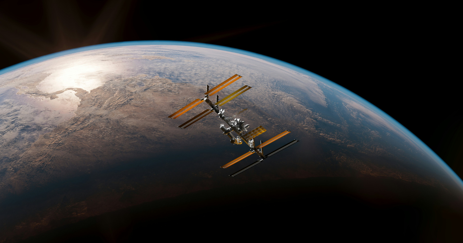
Here’s the conclusion first, because it’s the part that still doesn’t feel like it should be possible: nobody photographs the water disappearing from an aquifer in California or the ice thinning under Greenland. Nobody can.
Instead, two satellites named GRACE-FO watch each other, catch a laser bounced between them, and notice when one satellite gets tugged very slightly closer to the mass of water sitting underneath it than its twin does.
That tiny tug is the entire measurement. Here’s how something that small ends up telling scientists how much water an entire continent is gaining or losing.
Step 1: Launch two identical satellites and let gravity do the pulling
GRACE-FO is not one spacecraft, it’s a matched pair, launched together in May 2018 and flying nose to tail about 220 kilometers apart in the same orbit. Neither satellite carries any special water-detecting sensor pointed at the ground. Instead, the mission relies on something simpler and stranger: mass attracts mass, and more mass attracts it a little harder.
Why it takes two, not one
A single satellite flying over a mountain range, a shrinking ice sheet, or a swollen aquifer would speed up slightly as gravity pulled a little harder, then slow back down once it passed over, but there would be no way to isolate that from every other small variation in its orbit.
Two satellites flying in a fixed line solve that. When the lead satellite passes over a patch of extra mass first, it gets tugged forward and pulls slightly ahead of its twin. The gap between them stretches, then closes again as the second satellite catches up to the same patch of gravity. That changing gap is the actual signal.
Step 2: Measure the gap with a laser instead of a radio
The original GRACE mission, which flew from 2002 to 2017, tracked that gap using microwave signals bounced between the two spacecraft. GRACE-FO kept that system as a backup and added something new: a laser ranging interferometer, built through a partnership between NASA’s Jet Propulsion Laboratory and Germany’s Max Planck Institute for Gravitational Physics. Kirk McKenzie, the instrument manager at JPL, described the leap plainly: “With GRACE-FO, we’re taking something cutting-edge from the lab and making it ready for space flight.”
A laser’s wavelength is far shorter than a microwave’s, which is the entire reason it can measure a smaller wobble in the gap between the satellites, on the order of 100 times narrower than a human hair, finer than the width of a single red blood cell.
What the flicker actually looks like
In practice, this means the satellites aren’t looking for a dramatic shift. They’re watching for a change measured in a tiny fraction of the width of a strand of hair, repeated constantly as the pair circles the planet roughly fifteen times a day. No single pass tells you much of anything on its own. It’s the pattern across thousands of passes, over months and years, that turns into something usable.
Step 3: Turn thousands of tiny stretches into a gravity map
Every one of those small changes in distance gets converted into a measurement of how Earth’s gravity field varies from place to place, updated roughly once a month. A patch of ground with more mass underneath it, whether that’s rock, ice, or water, pulls a little harder than a patch with less. Subtract the parts of that map that come from solid rock and geology, which barely change month to month, and what’s left over is mostly water: ice sheets, glaciers, soil moisture, and the underground aquifers that don’t show up in any satellite photo.
Step 4: Turn the gravity map into an answer about water
This is the step that makes the whole mission worth building. Michael Watkins, the mission’s science lead and director of NASA’s Jet Propulsion Laboratory, put the core problem in plain terms: “When water is underground, it’s impossible to directly observe from space. There’s no picture you can take or radar you can bounce off the surface to measure changes in that deep water.” What water does have, no matter how deep it sits, is mass.
As Watkins put it, “it has mass, and GRACE-FO is almost the only way we have of observing it on large scales.” A shrinking aquifer under farmland, a glacier losing ice into the ocean, a wet season loading a river basin with extra runoff: none of it needs to be visible for the satellite pair to register that something down there got heavier or lighter.
Why this appeals to me more than the engineering does
I don’t believe balance means giving every part of your life equal attention on any given day, and GRACE-FO’s data works the exact same way. A single month’s reading barely tells you anything. A drought season looks alarming in isolation and a wet one looks like everything’s fine, and either read on its own would be wrong. What actually holds up is the long trend, built from years of unglamorous, repeated, tiny measurements that nobody would notice individually. That’s the same argument I’d make about a demanding season at home or a stretch of work that looks lopsided in the moment. You don’t judge it by one reading. You judge it by what the pattern says once enough of it has piled up.
Two satellites, chasing each other around the planet, catching a flicker of laser light smaller than a blood cell. That’s the whole method. It just has to run for years before it means anything.
I don’t have a physics background, and I’m not going to pretend I could build any part of this instrument. What I recognize, watching how this mission actually produces an answer, is the shape of the process more than the hardware. Nobody involved gets to see the finished picture from a single orbit. They get a tiny flicker, then another one, then another, for years, until a pattern that was invisible at first becomes obvious in hindsight. That’s a slower kind of proof than most of us are used to waiting for, and it’s still the only kind that holds up.