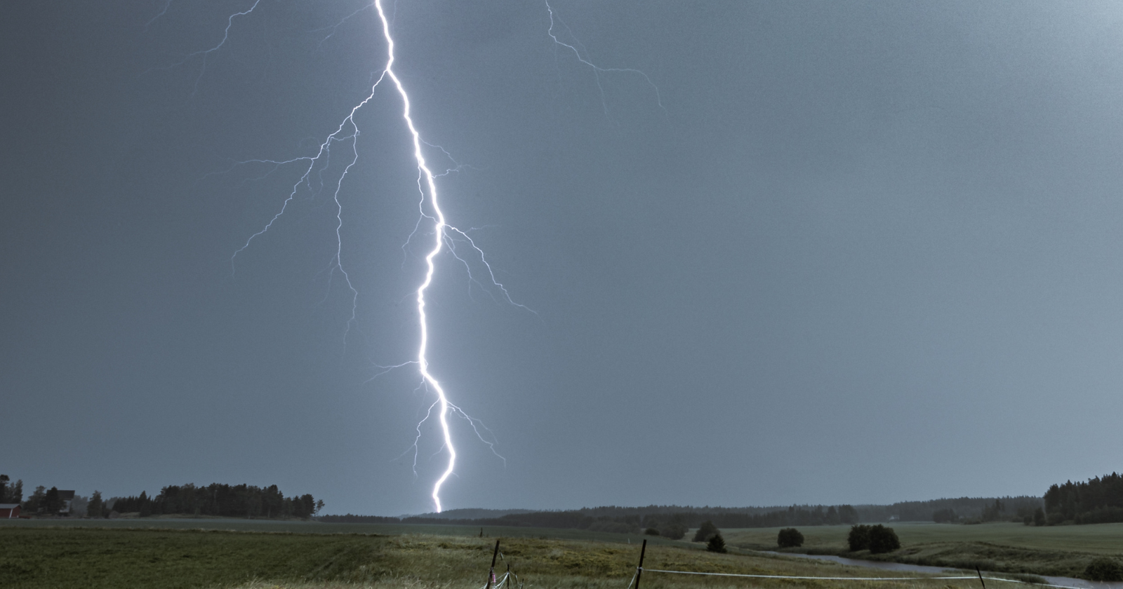
On the afternoon of 29 April 2020, a single electrical discharge tore horizontally across the southern United States for 768 kilometres (about 477 miles), spanning parts of Texas, Louisiana and Mississippi in one continuous flash. The World Meteorological Organization later certified it as the longest lightning bolt ever measured at the time, a record formally announced in early 2022 after a careful review of satellite data.
To picture the scale: the WMO put the flash at roughly the distance between New York City and Columbus, Ohio, or between London and Hamburg. The thunder from its first end was still rolling across east Texas when the far end of the same flash was lighting up the Mississippi sky.
One flash, three states
Typical lightning is small and quick. A garden-variety bolt lasts under a second and rarely reaches more than a few kilometres end to end. The April 2020 megaflash lasted far longer than that and stretched far wider, crossing state lines that take a car most of a day to drive.
The discharge propagated mostly within the clouds rather than to the ground, riding along the underside of a sprawling thunderstorm complex meteorologists call a Mesoscale Convective System — the kind of organised, multi-cell storm that regularly drapes itself across the Great Plains and Gulf Coast in spring.
The certification numbers came from the WMO’s archive of weather and climate extremes. The evaluation committee measured the path using geostationary satellite data and ground-based lightning detection networks, then cross-checked the timing against multiple sensors before declaring the record official.
How a bolt travels the length of a country
Lightning is a current of electrons looking for the shortest path between two regions of opposite charge. In a normal thunderstorm, that path runs a few kilometres from the negatively charged base of a cloud down to the positively charged ground. In a megaflash, the charged region itself is enormous — a stratiform anvil layer hundreds of kilometres wide, electrified by a long line of convective cells feeding it from below.
When a discharge starts inside that vast electrified sheet, it can keep finding fresh pockets of charge to ionise as it propagates sideways. The bolt branches and re-branches, lacing through the cloud like a crack widening across a windshield. Each branch can stay luminous for tenths of a second, which is why a single megaflash registers as a continuous event rather than a strobe of separate strikes.
The 2020 Texas-to-Mississippi flash propagated under exactly that kind of vast stratiform shield. The storm system spanned hundreds of kilometres of the Gulf Coast that afternoon, and the discharge essentially surfed the underside of it.
Why nobody noticed at the time
For decades, ground-based lightning networks could only see the parts of a flash that touched down or that produced a strong radio pulse. A horizontal cloud-to-cloud arc 700 kilometres long would register as dozens of separate detections at different sensors, and nothing tied them together.
That changed with the Geostationary Lightning Mapper aboard NOAA’s GOES-16 satellite. The instrument stares continuously at the Western Hemisphere from 36,000 kilometres up and records every optical pulse from lightning. Megaflashes that used to vanish into the statistical noise now show up as single, unbroken events on the satellite’s record.
The 2020 bolt was identified through that data, then submitted to the WMO panel for verification. Space-based imagery showed the discharge as a single luminous thread laid across the Gulf states, its arms reaching from one storm cell to the next.
The records keep falling
The 768-kilometre flash held the top spot for only a few years. Reanalysis of archived satellite data turned up an even longer flash from 22 October 2017, which stretched 829 kilometres from east Texas to near Kansas City. That older event was missed at the time because nobody knew to look for a single discharge that big.
The WMO formally recognised the 2017 flash as the new distance record at roughly 829 kilometres — about 515 miles. Each upward revision tells you something less about the weather and more about the instruments. The lightning was always there. The satellites that can see it are new.
When the 2020 record was announced, WMO experts noted that even greater extremes likely still existed, and that improving lightning detection technology would reveal them. That prediction came true within a few years.
The Geostationary Lightning Mapper now has years of continuous data. Its European counterpart, the Lightning Imager aboard the Meteosat Third Generation satellite, has expanded coverage to Africa, Europe and the eastern Atlantic at similar resolution. Together they watch most of the planet’s thunderstorm zones in real time, revealing extremes of lightning that ground sensors simply couldn’t see.
Researchers expect more records to fall. The current 829-kilometre champion almost certainly won’t be the last. Megaflashes appear to be limited by the size of the electrified cloud shield they can propagate through, and the largest MCSs on Earth occasionally span vast distances. If a discharge ever managed to bridge that full extent, the result could be a single flash longer than the distance from London to Berlin.
What the bolt did to the air
A lightning channel is only a few centimetres wide, but the air inside it heats to extreme temperatures — far hotter than the surface of the Sun. The violent expansion of that superheated air creates the crack or rumble we hear as thunder.
Multiply that by 768 kilometres. Every segment of the megaflash heated its own corridor of air to plasma temperatures. The thunder produced at the Texas end would have taken a considerable time to travel through the atmosphere to the Mississippi end at the speed of sound, assuming it survived the trip at all. In practice, most of it didn’t — thunder typically becomes inaudible beyond a certain distance because the sound waves bend upward in the warmer air near the ground and dissipate.
Anyone standing under the bolt heard a local crack. Nobody heard the whole thing. The flash, as an acoustic event, was too large for human ears to perceive as a single sound.

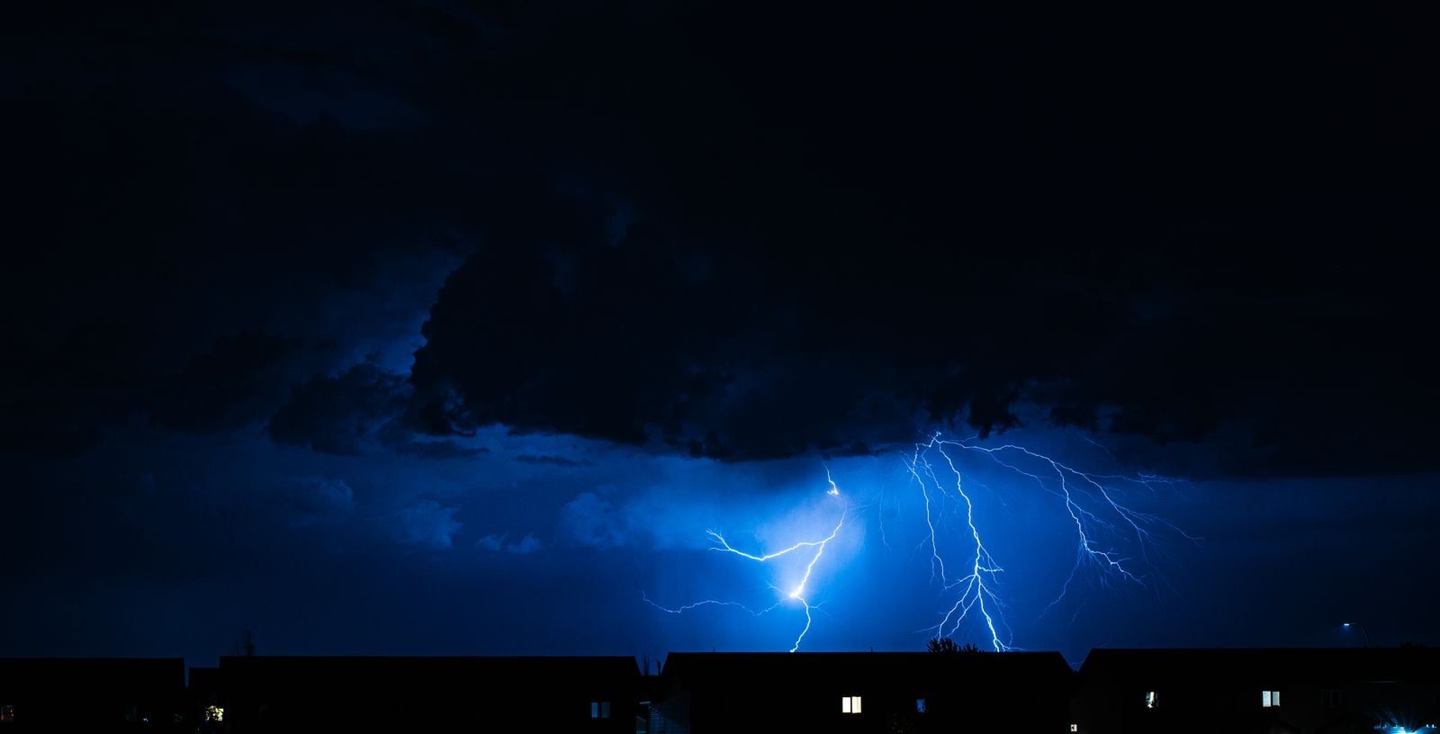
Many megaflashes drop branches to the ground along their length, sometimes dozens or hundreds of kilometres from the parent storm cell. National Weather Service guidance assumes that if you can hear thunder, you’re within striking range. Megaflash research is forcing meteorologists to rethink that buffer.
A discharge that travels hundreds of kilometres horizontally can deliver a cloud-to-ground strike under blue sky, beyond any storm a person on the ground can see. The lightning capital of the US in recent years, the Miami-Fort Lauderdale metro, has dealt with these “bolt from the blue” strikes for decades. Megaflashes extend the reach of that phenomenon to a continental scale.
The geography of megaflashes
The central and southern United States is one of the most prolific lightning regions on Earth. Lightning activity is particularly concentrated in states like Texas, Florida and Oklahoma. The same storm geometry that fills those states with ordinary lightning is what makes them the world’s preferred address for megaflashes.
Mesoscale Convective Systems form when a long line of thunderstorms organises into a single propagating complex, often overnight, fed by warm Gulf air pushing into cooler continental air aloft. The trailing stratiform region behind the convective line can spread across an area the size of a small country. That’s the canvas a megaflash needs.
The same dynamics show up in a handful of other places: the La Plata basin in South America, the Congo basin, and parts of northern Australia. The Uruguay-Argentina megaflash that set the separate duration record — a single flash that stayed luminous for 17.1 seconds in June 2020 — also rode an MCS shield. The geography of extreme lightning maps almost perfectly onto the geography of these massive organised storm systems.
The 768-kilometre Texas-to-Mississippi bolt swept across three states in a single corridor of light. Somewhere along it, fish in a Louisiana bayou and corn just breaking ground in east Texas were briefly lit by the same flash.
For most of human history, a bolt like that would have been seen by a few thousand people, each thinking they had witnessed an ordinary streak of lightning in their own patch of sky. The notion that one flash could span three states would have struck anyone in 1920 as fanciful. The April 2020 megaflash had been happening, somewhere on Earth, for as long as Earth has had thunderstorms. The instrument that could see the whole thing at once is younger than most smartphones.