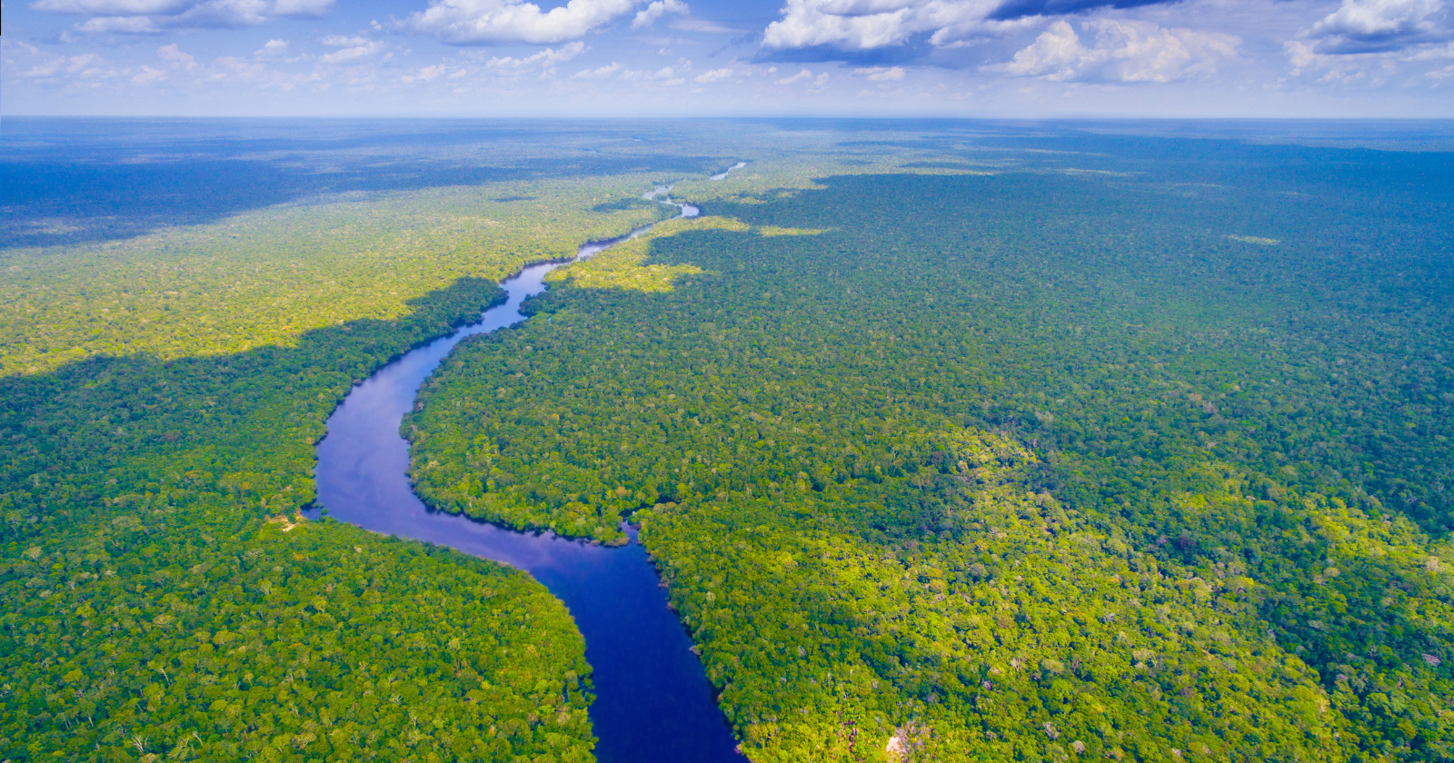
The Amazon is the largest river on Earth by volume of flow, and it reaches the sea by running east, from the foot of the Andes across the width of the continent to the Atlantic. For much of the deep past, the rivers of this region ran the other way. Sediment was carried west and north, toward what is now the Pacific side of the continent and toward the Caribbean, not east toward the ocean the river empties into today.
This is not a story about a single channel flipping overnight. It is a reconstruction, assembled from rock chemistry, fossil pollen, drill cores and numerical models, of a whole drainage system that was reorganised over tens of millions of years as the Andes rose and the eastern lowlands slowly filled with sediment. The broad outline is widely accepted. The timing and the mechanism are still argued over.
What the rocks record
One line of evidence for the older, westward drainage comes from tiny crystals. Grains of the mineral zircon lock in a uranium-lead age when they form, which acts as a fingerprint for the rock they eroded from. Comparing zircon ages in ancient Amazonian sediments with the ages of likely source rocks lets geologists work out which way the rivers that laid them down were running.
Work presented by Russell Mapes and colleagues at the University of North Carolina at the 2006 Geological Society of America meeting reported zircon ages in western deposits that pointed to central and eastern South American sources. The implication is that the sediment had been carried westward, and that in the Cretaceous, before the Andes had risen to any height, rivers drained that way across the continent. This was conference-presented work rather than the field’s strongest peer-reviewed anchor, but it sits comfortably with the wider reconstruction.
A long, low basement ridge through the middle of the continent, the Purus Arch, later split the flow, sending water on its eastern side toward the young Atlantic and water on its western side back toward the rising mountains.
The Andes as a barrier, and a sediment factory
As the Andes grew through the Cenozoic, they did two things at once. They blocked the old westward drainage, and they began shedding large volumes of eroded rock into the lowlands at their feet.
For most of the Miocene, roughly 23 to 10 million years ago, western Amazonia was not a river system at all but a shifting expanse of lakes, swamps and channels known as the Pebas system. It reached its greatest extent around 17 to 15 million years ago, was episodically connected to the Caribbean, and drained north rather than east. The reconstruction of this wetland and its history is set out in a 2022 review in the Botanical Journal of the Linnean Society led by Carina Hoorn, building on a 2010 synthesis she led in the journal Science.
The eroded Andean sediment had to go somewhere. As it filled the foreland basins and the lowlands subsided under the load, the gentle slope of the continent was gradually rebuilt to tilt east. A 2014 modelling study by Victor Sacek, published in Earth and Planetary Science Letters, found that this reorganisation emerged in the simulations across a wide range of assumptions about how fast the Andes rose and how quickly their rock eroded. In his model it could be produced by surface processes alone, Andean uplift, erosion, sedimentation and the flexing of the crust under that load, with mantle-driven dynamic topography a secondary contributor rather than the main driver. The timing turned mainly on how efficiently sediment was carried and how fast the Andes rose. One run placed the formation of the modern basin at about 10.5 million years ago, close to the figure Hoorn’s group has argued for.
When the river turned east
Most reconstructions place the establishment of the through-flowing, east-draining Amazon in the late Miocene, somewhere in the range of about 9 to 11 million years ago. Sediment of clearly Andean origin began reaching the Atlantic shelf and building the submarine Amazon Fan from around 11 million years ago, which is one of the firmer markers for when the river first connected the mountains to the ocean.
That range is not a precise date, and it should not be read as one. The watershed kept rearranging itself afterwards, through the cooler, more variable climates of the past few million years.
What the evidence supports is a window, not a stopwatch.
Two explanations that may not be rivals
There is genuine disagreement about what did the heavy lifting. Sacek’s account leans on Andean uplift, the bending of the crust under sediment load, and the slow infilling of the basins, with the mantle in a supporting role. A 2010 study by Grace Shephard and colleagues in Nature Geoscience put the deeper cause first. As South America drifted west over cold, dense slabs of sinking ocean floor, the resulting flow in the mantle below pulled parts of the continent down and let others rebound, tilting the surface eastward from beneath.
These are not necessarily competing stories. Surface processes and mantle flow can both contribute, and much of the live argument is about their relative weight rather than whether the river moved at all. The degree of marine flooding that reached the Pebas wetland from the Caribbean is contested in the same way, with the available rock and fossil evidence read more than one way.
What the story actually shows
The popular version, that the Amazon ran backwards, compresses a staged, drawn-out reorganisation into a single flip. The more accurate picture is of a continent whose slope was rebuilt by the mountains on its western edge, until the water had no choice but to find the Atlantic.
It is a useful reminder that a river of this size is a relatively recent arrangement, and a temporary one. The Amazon mapped today is the current balance between uplift, erosion and deposition, not a fixed feature of the planet. What remains to be pinned down, through more drill cores and more provenance dating, is the exact timing of the turn and how much of it was driven from the surface and how much from far below.