
For more than a century, schoolchildren have learned that Earth has seven continents, and for more than a century that count has been wrong. Not because anyone miscounted the dry land, but because the working definition of “continent” quietly assumed a continent had to be mostly above water. When a team led by geologist Nick Mortimer at GNS Science in Lower Hutt, New Zealand, finally went public in 2017 with a paper formally naming Zealandia, a continent of roughly 4.9 million square kilometres lying 95 percent underwater, the real argument was not about a new piece of land. It was about whether scientific definitions can survive contact with evidence that doesn’t fit them.
The claim was not that Mortimer’s team had discovered new land. The claim was that the rock under the Tasman Sea was the wrong kind of rock to be ocean floor, and that the only thing keeping it off the list of continents was an unwritten rule about being dry.
What a continent actually is
To a geologist, a continent is not defined by being dry. It is defined by being made of thick, buoyant, silica-rich crust, the kind that rides high on the mantle because granite is lighter than basalt. Ocean floor is thin and dense and dark. Continental crust is thick, pale, and old.
Mortimer’s team set out four tests a chunk of Earth has to pass to qualify: elevation above the surrounding ocean floor, a distinct geology of continental rocks, thicker crust than the seabed around it, and well-defined limits over a large enough area to count as more than a fragment.
Zealandia, they argued, passes all four. The trouble is that a fifth test had always been hiding in the background: most people assumed a continent had to be mostly dry. There was no scientific reason for that assumption. It was just convention, and the question Mortimer’s paper forced was whether convention should outweigh the rock.
Two decades of dredging
The evidence that broke the convention was accumulated slowly, expensively, and unglamorously. Research vessels lowered steel buckets onto undersea ridges and plateaus and hauled up whatever broke off. Mortimer’s team and collaborators pulled granite samples from the Lord Howe Rise, sandstone with fossilised pollen from the Challenger Plateau, and Cretaceous basalts from the Campbell Plateau south of New Zealand.
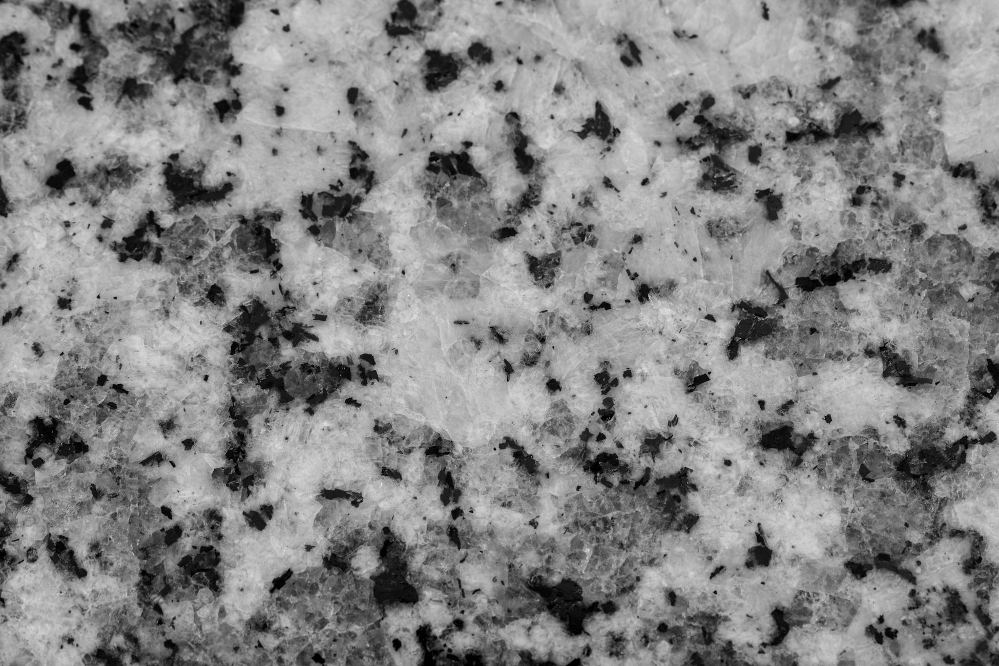
None of that material belonged on an ocean floor. Granite forms inside continents, where heat and pressure cook silica-rich magma in deep chambers over millions of years. Finding it sitting more than a kilometre below sea level, hundreds of kilometres from any coast, is like finding a redwood stump on the floor of an empty swimming pool.
The team also used satellite gravity data and seismic profiles to measure crustal thickness. Oceanic crust runs about 7 kilometres thick. Zealandia’s crust came in between 10 and 30 kilometres, thinned by stretching but unambiguously continental. Each line of evidence on its own could be argued with. Together, they made the existing definition of continent harder to defend than the new boundary on the map.
How a continent ends up underwater
About 105 million years ago, Zealandia was part of the eastern edge of Gondwana, attached to what is now Australia and Antarctica. Then it broke off. As the rift between it and Australia widened into the Tasman Sea, the crust stretched and thinned, the way pulled taffy goes pale and flat. Thinned crust sits lower. Lower crust ends up underwater.
By around 80 million years ago, Zealandia was a separate continental ribbon, gradually subsiding as it cooled and rode away on its own tectonic plate. Most of it sank below sea level by the late Eocene. Only the bits riding the boundary between the Pacific and Australian plates, including the islands now called New Zealand, got pushed back up by collision and stayed in the air.
Nature’s geodynamics summary describes Zealandia as a continental fragment rifted from East Gondwana during the Cretaceous, with its current shape controlled by successive phases of extension and magmatism. In plain terms: it was stretched, thinned, and then drowned by its own weight. None of that makes it less continental. It just makes it harder to see.
Why nobody named it sooner
The idea that something continental sat under the Tasman Sea was not new in 2017. The word “Zealandia” had been used as early as 1995, mostly as a convenient label for the region’s geology. Soviet and New Zealand surveys had been pulling continental rocks off the seabed since the 1970s. The evidence had been piling up for decades; what was missing was the willingness to test it against the definition.
By 2017 the team had enough dredge samples, gravity maps, and seismic lines to draw a continuous boundary around the whole thing. The 2017 paper was the moment the geological community had to either accept Zealandia or come up with a reason it didn’t count.
Nobody came up with a good reason. The criteria were the criteria, and a continent did not stop being a continent because it was wet. That is how scientific definitions are supposed to give: when the evidence stops fitting, the words have to move.
The map that took six more years
Naming Zealandia was one thing. Mapping it properly was another. In 2023 Mortimer and colleagues at GNS Science published the first complete geological map of the continent, including the northern reaches that had been the least sampled. They added dredge data from a 2016 voyage that recovered basalts, sandstones, and limestones from the seabed north of New Zealand, some of them around 95 million years old.
The new map showed the spine of Zealandia running from north of New Caledonia down through the Lord Howe Rise, the Challenger Plateau, the New Zealand landmass, and the Campbell Plateau, a continental strip nearly 5,000 kilometres long. By area, it is the smallest of Earth’s continents and the youngest to be formally recognised.
It is also, by a wide margin, the most submerged. Africa, Europe, Asia, the Americas, Australia, and Antarctica all sit mostly above sea level. Zealandia has only the tips of its mountains showing.
What the granite tells you
One of the most useful clues came from a process called partial melting. When the lower crust heats up, only the easiest-melting minerals turn liquid, and that melt rises to form granite higher up. The chemistry of the resulting granite carries a signature of the source rock.
Nature’s summary of partial melting notes that these melts drive crustal differentiation, the slow process by which continents become chemically distinct from the mantle below them. The granites dredged from Zealandia have the same fingerprints as granites from Australia and Antarctica, the continents Zealandia was once joined to. That match is not something an oceanic plateau could fake. The rock itself was telling a story the old definition could not hear.
The argument that took a century
The notion that there might be sunken continents is older than plate tectonics. Nineteenth-century naturalists invoked land bridges and submerged landmasses to explain why similar fossils appeared on opposite sides of oceans. Most of those guesses turned out to be wrong, because continental drift, not sinking, moved the fossils apart.
But Zealandia was the case where the old idea turned out to be partly right for a different reason. It did not sink because of some catastrophe. It sank because the crust got stretched too thin to float high.
The debate over whether a submerged landmass could count as a continent went on for more than a century, partly because the definition of continent had been built around what people could see from a ship. Once the definition was rewritten around what the rock actually was, the argument collapsed.
What it changes
Adding a continent to the textbooks is not a trivial bookkeeping exercise. It changes how plate reconstructions of Gondwana have to be drawn, because there is now a large piece of continental crust that has to be accounted for in any model of how the supercontinent broke apart. It changes how biogeographers explain the distribution of certain plants and animals between New Zealand, New Caledonia, and Australia, because Zealandia provides a long, partly emergent corridor that may have stayed above water in places for longer than previously thought.
It also raises uncomfortable questions about what else is down there. The same gravity and seismic techniques that mapped Zealandia have flagged thinned continental fragments under other oceans, including pieces in the Indian Ocean and the North Atlantic. None of those is as large or as coherent as Zealandia. But the idea that the planet’s continents are exactly the seven you can see on a globe is now formally wrong, and the tools to find the others are already in the water.
The continent under the waves
If you fly from Auckland to Sydney, you spend three hours over open ocean. The plane is crossing a continent the whole time, two kilometres above ridges that were dry land when dinosaurs walked them. The reason nobody called it a continent for so long was not that the evidence was missing. It was that the word had been built around a habit of looking, not a property of rock.
Mortimer’s team did not discover Zealandia in the way an explorer discovers a coast. They argued, with two decades of rock samples in hand, that it had always been a continent and the maps had simply refused to call it one. In 2017 the maps caught up, and in doing so they conceded a larger point: what counts as a continent is decided by what the Earth is made of, not by what happens to be visible from the deck of a ship. That is a smaller revolution than plate tectonics, but it is the same kind of revolution, and it leaves the textbook count of seven looking less like a fact than a placeholder.
