
The Interislander ferry between Wellington and Picton carries tourists, freight trucks, and commuters across a stretch of the Cook Strait most of them assume is just water between two New Zealand islands. It is not. The cliffs on either side are the exposed peaks of a continent, and the three-hour crossing passes over a shallow gap in a landmass nearly the size of the Indian subcontinent. Almost no one on board knows they are crossing it. For most of human history, no one knew it existed at all.
Zealandia, as geologists now call it, covers about 4.9 million square kilometres (1.9 million square miles) of the South Pacific. Roughly 94 to 95 percent of it sits below sea level, in places under a kilometre or more of water. New Zealand’s North and South Islands, plus New Caledonia and a scattering of seabird-covered rocks, are the only parts that breach the surface. Everything else, including the Lord Howe Rise, the Challenger Plateau, the Campbell Plateau, and the Chatham Rise, is the drowned body of a continent that broke off Gondwana around 80 million years ago and slowly sank.
The strange thing about Zealandia is not that it is underwater. It is how long it took the people who study Earth’s crust to call it what it is.
A name, and then two decades of silence
Bruce Luyendyk, a geophysicist at the University of California Santa Barbara with deep ties to New Zealand’s scientific community, proposed the name in 1995. He was not arguing that the region qualified as a full geological continent. He was pointing out that the rocks beneath the waves were clearly built from the same ancient slab and needed a single label. The continental crust under New Zealand did not stop at the country’s shoreline. It extended outward across the surrounding ridges in the shape of a long, drowned wing.
The name stuck within a small circle of marine geologists. Outside that circle it went nowhere. Continents, in the public imagination, are the seven you learn in primary school. Adding an eighth, mostly underwater and visible only as a pair of islands and a few rocks, was not the kind of revision that travelled fast.
It took twenty-two years for someone to make the bigger claim.
The moment it became a continent
In 2017, GNS Science geologist Nick Mortimer and ten coauthors published the case in GSA Today, the journal of the Geological Society of America. Their argument was procedural rather than dramatic, which was part of the point. Geologists already had four working criteria for what makes a continent: elevation above the surrounding ocean floor, a distinctive range of igneous, metamorphic, and sedimentary rocks, thicker crust than the abyssal basins around it, and well-defined limits over a large enough area to count as more than a microcontinent. Zealandia, the team showed, satisfied all four.
The crust beneath it runs 10 to 30 kilometres thick, against roughly 7 for the oceanic crust around it. The submerged plateau sits one to two kilometres higher than the surrounding seafloor. The rocks dredged from its ridges are granite, schist, and sandstone, the standard continental assemblage. The boundaries enclose a coherent block about the size of the Indian subcontinent.
Calling it a continent was not, in their phrasing, a sudden discovery. It was the recognition of something that had been mapped piece by piece for half a century. The Mortimer paper credited Luyendyk explicitly. The name introduced in 1995 became the natural label for the continent they were now formally describing.
How a continent goes underwater
Zealandia’s submersion is a story of stretching. Around 105 million years ago, the eastern edge of Gondwana, the southern supercontinent that once included Australia, Antarctica, South America, India, and the future Zealandia, began to pull apart. A 2025 reconstruction by Luca Dal Zilio and colleagues described the rifting as a flood of fire, with massive volcanic activity accompanying the tear.
As the crust stretched, it thinned. Thinner crust sits lower. By 80 million years ago, Zealandia had fully separated, and its surface, once mountainous and forested, began to sink. By around 23 million years ago, most of it lay underwater. Whether any part of it stayed continuously above the waves is still debated, and the answer matters: it determines whether the tuatara, the kiwi, and the kauri trees of northern New Zealand are the survivors of a continuous lineage that rode Zealandia down, or later arrivals that dispersed across the ocean to a re-emerged island.
Mapping the invisible
Most of what is now known about Zealandia’s shape comes from bathymetry, the underwater equivalent of topography, gathered over decades of ship surveys and satellite passes. GNS Science and collaborators have since released what they described as the first complete map of the continent, revealing the geology of the northern two-thirds in detail that had not existed before, including a long-suspected belt of subduction-zone rocks running through the submerged interior. Modern bathymetric surveys now combine lidar, sonar, and uncrewed surface vehicles to chart depths that, for most of human history, were measured with a lead weight on a rope.
Each survey added a few percent more detail. The continent did not appear in any single moment. It accumulated, the way scientific consensus usually does, by the slow piling up of data until a name proposed in 1995 by one geophysicist became unavoidable to eleven of his successors.
What recognition looks like
The 22-year gap between Luyendyk’s suggestion and Mortimer’s confirmation is itself a small lesson in how earth science works. Continents are not discovered the way islands are. There is no moment when a sail crests a horizon. There is only the accumulation of soundings, dredge samples, gravity readings, and sediment cores, until the shape of something becomes impossible to deny. The 2017 paper did not find Zealandia. It declared, on behalf of a discipline that had been quietly mapping the thing for fifty years, that the evidence was now sufficient.
Even so, school maps and atlases have not caught up. As one summary of the discovery put it, the landmass is Earth’s missing eighth continent, hiding in plain sight under a relatively shallow stretch of the Pacific.
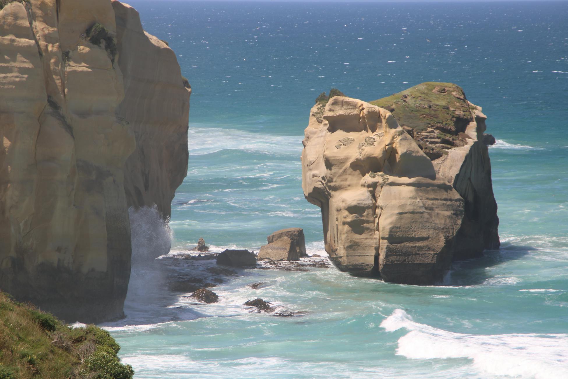
From the deck of the Interislander, the cliffs on either side are not the edge of an island chain. They are the exposed peaks of a continent confirmed by eleven scientists in 2017, named by one in 1995, and mapped in full only a few years ago. The South Island’s Southern Alps, rising above 3,700 metres at Aoraki Mount Cook, are the highest point of a landmass whose average elevation is more than a kilometre below sea level. Below the hull, the rest of it stretches for nearly two thousand kilometres in every direction, dark and granite and, until very recently, nameless.
