
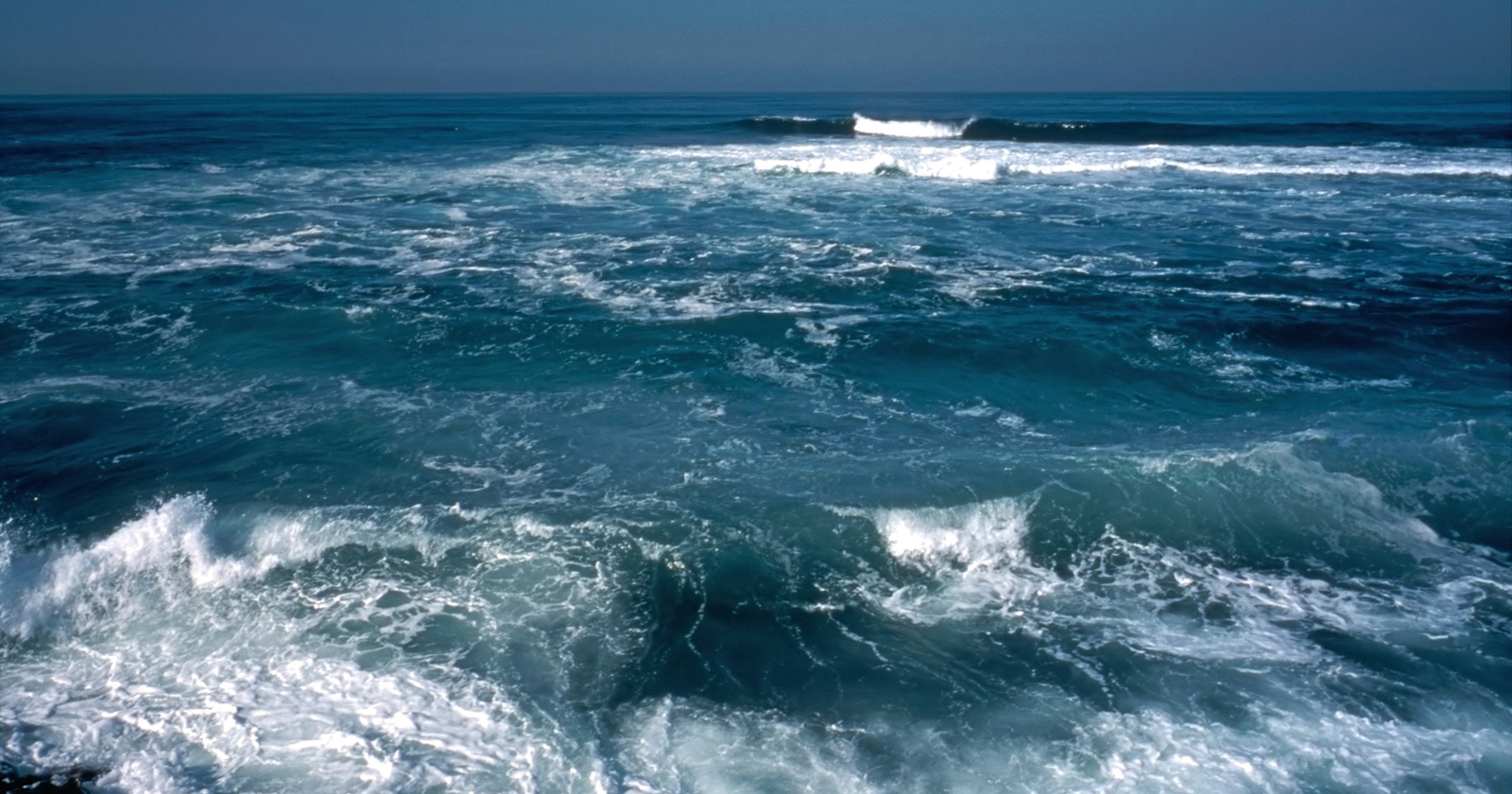
The Pacific Ocean covers about a third of Earth’s surface. According to the National Oceanic and Atmospheric Administration’s ocean facts page, the Pacific spans more than 155 million square kilometres, or roughly 60 million square miles. That is larger than the combined land area of every continent on the planet. The total area of all the world’s land, including Asia, Africa, the Americas, Antarctica, Europe, Australia, and every island in every ocean, comes to about 149 million square kilometres. The Pacific alone exceeds that, with room to spare.
The size of the Pacific is one of those statistics that becomes more striking the more you think about it. The Atlantic Ocean, which most people consider very large, contains about half as much water as the Pacific. The Indian Ocean is smaller still. The five oceans combined cover roughly 71% of the planet’s surface, and the Pacific accounts for nearly half of that water area on its own. At its widest point, near 5 degrees north of the equator, the Pacific stretches approximately 19,800 kilometres from Indonesia to the coast of Colombia and Peru, almost halfway around the planet at the equator.
The longest straight line you could sail on Earth
One way to feel the scale of the Pacific is to look at where a navigator can go without hitting land. In 2018, two researchers, Rohan Chabukswar of United Technologies Research Center Ireland and Kushal Mukherjee of IBM Research India, used global topographic data from NOAA’s ETOPO1 relief model to confirm a route that had been informally proposed years earlier by a Reddit user, Patrick Anderson. According to the account of the work published by Science, the longest straight-line path across Earth’s oceans, the longest distance a boat could sail in a single direction without making landfall, is 19,940 miles, or 32,090 kilometres.
The route is a great circle. On a flat map it looks like a long curve. On a globe, it is a straight line. It starts on the sandy shores near Sonmiani, on Pakistan’s Arabian Sea coast. It runs south through the Arabian Sea and into the Indian Ocean, threads the narrow passage between Madagascar and the African mainland, continues south of Africa entirely, then swings west into the South Atlantic and squeezes through the Drake Passage between Cape Horn and Antarctica. Once it clears the Drake Passage, it turns north-northwest and crosses the entire Pacific Ocean, dodging the Alaskan archipelago, before terminating on the cold beaches of the Karaginsky District in northeastern Russia.
The Pacific portion is the dominant leg of the journey. According to Smithsonian Magazine’s report on the finding, the bulk of the route’s length sits in the Pacific basin, after the line has cleared South America. The other oceans contribute the entry and exit, and the gaps between the southern continents allow the line to thread its way through, but the Pacific is what makes the whole route possible. No other single ocean basin is large enough to host a 19,940-mile straight line on a sphere the size of Earth.
For comparison, the longest line on land
The same researchers used the same algorithm to find the longest straight line on land that does not cross any large body of water. The result was considerably shorter: an 11,241-kilometre path crossing 15 countries, from Quanzhou in eastern China to the town of Sagres in western Portugal, running through Mongolia, Kazakhstan, Russia, Poland, Germany, France, Spain, and several other nations along the way. The land line is just over a third of the length of the sea line. The reason is the simple fact that Earth’s continental land is highly fragmented and discontinuous, while the Pacific is uninterrupted across a vast span.
Even Eurasia, the largest connected landmass on Earth and the longest continuous stretch of dry land available, supports a maximum straight-line journey of just over 11,000 kilometres before hitting an ocean or a significant lake. The Pacific leg of the longest-sailable-line route on its own is longer than the entire longest-possible journey across land on Earth.
What this tells you about the planet
The planet humans live on is mostly water, and its water is mostly Pacific. The familiar mental map of the world, with continents prominent and oceans serving as the spaces between them, is partly a product of the way maps are drawn. The Mercator projection, in particular, exaggerates landmasses near the poles and shrinks the equatorial oceans. The Pacific takes the worst of this distortion. A globe, viewed with the Pacific facing the observer, shows an almost entirely blue hemisphere, broken only by the eastern edge of Asia, the western edge of the Americas, the scattered islands of Oceania, and the ice of Antarctica below.
The longest-sailable-line finding is, on one level, a piece of mathematical curiosity. On another, it is the most concrete way to express how disproportionate the Pacific is. The line does not loop or wander. It is one straight cut around a sphere, and most of that cut lies in a single ocean. The Pacific is not just the largest body of water on Earth. It is the only body of water large enough to host a straight line longer than any continuous stretch of land on the planet, by a substantial margin.
