

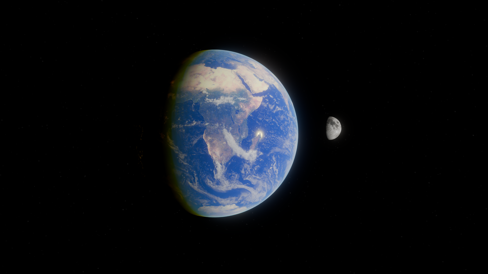
On October 24, 1946, a captured German V-2 rocket rose off a pad at White Sands Proving Ground in southern New Mexico, climbed to an altitude of approximately 65 miles, and fell back to the desert floor. Bolted into a steel canister inside its nose cone was a 35-millimetre DeVry motion-picture camera, exposing a strip of black-and-white film to whatever the rocket saw. The rocket disintegrated on impact. The film canister, wrapped in steel, survived. When Army technicians recovered and developed the film, they found the first photographs ever taken of Earth from space.
The engineer who built the camera rig was Clyde Holliday, at the Johns Hopkins Applied Physics Laboratory. His frames — 65 miles above the New Mexico desert, just past the 100-kilometre Kármán line — showed the curvature of the planet, the black of space above the atmosphere, and cloud cover stretched across the American Southwest. They were grainy, streaked, and revelatory. And they came from a rocket originally designed to kill people in London.
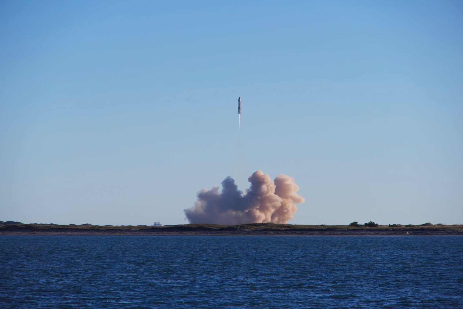
The rocket had a very different first career
The V-2 was the world’s first long-range guided ballistic missile, developed by a team led by Wernher von Braun at Peenemünde on Germany’s Baltic coast. Nazi Germany fired thousands of them at Allied cities during the final years of the war, killing thousands of civilians and military personnel in London, Antwerp, and elsewhere. The rockets were built in the Mittelwerk underground factory using forced labour from the Mittelbau-Dora concentration camp, where tens of thousands of prisoners died — more people killed in the production of the weapon than by the weapon itself.
When Germany surrendered in May 1945, American forces under Operation Paperclip seized hundreds of railcar loads of V-2 components from the Mittelwerk before Soviet troops arrived to occupy the region. The parts, along with von Braun and many of his engineers, were shipped to the United States. The rockets were sent to White Sands, a stretch of gypsum and creosote in the Tularosa Basin that the U.S. Army had established as a proving ground in July 1945 — the same month, and the same desert basin, in which the first atomic bomb was detonated at Trinity Site to the north. The history of White Sands Missile Range traces almost every American rocket program back to that basin.
Scientists inherited a weapon and asked what it could see
The Army had no immediate military use for the reassembled V-2s. What it had was a fleet of the most powerful rockets then in existence, sitting in New Mexico with nothing to shoot. In 1946, the V-2 Upper Atmosphere Research Panel was convened, drawing scientists from the Naval Research Laboratory, the Applied Physics Laboratory at Johns Hopkins, Princeton, Harvard, the University of Michigan, and General Electric. Each V-2 launch would carry roughly a ton of scientific instruments in place of the warhead.
Between 1946 and 1952, the Army fired dozens of modified V-2s from White Sands. They carried Geiger counters, spectrographs, cosmic-ray detectors, temperature probes, and — on several flights — cameras. Fruit flies and monkeys flew on later missions. As the History News Network argues, the American space age arguably began on that New Mexico range more than a decade before Sputnik.
Why 35mm motion-picture film, and why bolted into the nose
Holliday’s problem was mechanical. He needed a camera that would survive the vertical acceleration of ascent, then a terminal impact that would shatter almost anything on board. He needed film that would not fog under cosmic radiation. And he needed a system light enough not to compromise the V-2’s climb.
The DeVry 35-millimetre motion-picture camera — a rugged device that had been standard for newsreel work in the 1930s — used a film format with resolution good enough to render horizon curvature on a print, and it could be automated using parts salvaged from a B-29 gun-director system. Holliday’s team encased it in a steel cassette roughly the size of a large coffee tin and bolted the cassette into the V-2, positioning it to expose one frame every second and a half as the rocket climbed.
The rocket itself was expendable. No parachute was fitted to the airframe. The nose cone would slam into the desert at around 500 feet per second and shatter. But the steel cassette, cushioned and armoured, was built to survive the impact intact. Recovery crews then walked the impact zone until they found the crumpled canister.
What the film actually showed
The frames from the V-2 covered altitudes up to the 65-mile peak and back down. As Smithsonian Magazine has documented in its coverage of the program, the highest frames showed tens of thousands of square miles of the American Southwest in a single image — cloud banks over west Texas, the dark line of the horizon curving against a black sky, and above the horizon, nothing. No blue haze. No atmosphere. Just space.
The images were black-and-white and heavily grainy. But the horizon was unmistakably curved. The highest photograph of Earth before that point had been taken from the Explorer II balloon in 1935, at roughly a fifth of the V-2’s altitude. Holliday’s camera had gone far higher than any lens before it.
Holliday published a selection of the images in National Geographic in 1950, describing the view in almost otherworldly terms. As the Johns Hopkins Applied Physics Laboratory records, he told the magazine the pictures showed for the first time “how our Earth would look to visitors from another planet coming in on a spaceship.”
The rocket that made it possible was already obsolete
By the time the last White Sands V-2 flew in 1952, the American rocket program had already moved on. Von Braun’s team was in Huntsville, Alabama, working on the Redstone missile. The Naval Research Laboratory had developed the Viking sounding rocket, which flew higher and more reliably than the V-2. And the British had drawn up plans for Megaroc, a manned V-2 derivative that never flew but showed how quickly the captured German technology was being reimagined across the Allied powers.
The V-2s themselves were unreliable. Many of the launches at White Sands failed in some way — engines cut out early, guidance drifted, and in May 1947 one famously veered off course and came down near Ciudad Juárez, across the border in Mexico. But when they worked, they worked well enough to open a window into a place no human had ever looked from.
Why the pictures took decades to become famous
Holliday’s images were not classified, but they were not widely circulated either. The Applied Physics Laboratory published them in technical journals. National Geographic ran them in 1950. But the pictures competed with a growing flood of aerial imagery from high-altitude aircraft and, later, with the first satellite photographs. By the time the Apollo 8 crew photographed the whole Earth rising over the lunar horizon in 1968 — a colour image, taken by a human, framed against the Moon — the grainy black-and-white frames from a Nazi rocket in 1946 had been almost entirely forgotten outside a small community of historians.
The boundary those frames crossed became known as the Kármán line — the international convention that space begins at 100 kilometres. The V-2 crossed it years before it was formalised as a concept.
The camera engineer nobody remembers
Clyde Holliday spent most of his career at Johns Hopkins APL, working on optical systems for missiles and, later, for early satellite reconnaissance. He died in 1982. There is no crater named after him, no NASA facility, no annual lecture.
The V-2 that carried the camera is scattered somewhere across the Tularosa Basin, its steel skin corroded into the gypsum. The original negatives are held by the Johns Hopkins Applied Physics Laboratory, which ran the upper-atmosphere program; the frames have since been scanned and preserved digitally, but the physical strips of film were, for a few minutes in October 1946, the only photographic film ever to have travelled above the atmosphere.
What one flight established
Every satellite image of Earth in existence — every weather map on a phone, every satellite photograph of a hurricane, every Google Earth tile, every image from the International Space Station’s cupola — traces its lineage to the frames that came out of that steel cassette in New Mexico. Before Holliday’s camera, the shape of Earth from above was a mathematical inference. After it, it was a photograph.
The Hubble Space Telescope, which today can hold its gaze steady enough to keep a laser trained on a dime more than 200 miles away, is a direct descendant of the same pursuit — the attempt to point a lens at something too far to see with the naked eye and bring back an image. Hubble’s pointing is measured in fractions of an arcsecond. Holliday’s was measured in whether the rocket happened to be roughly upright when the shutter clicked.
The rocket that carried the first photograph of Earth from space had been designed to end lives in London. The engineers who launched it in New Mexico were, in some cases, the same men who had built it at Peenemünde. The film that came back showed a planet that, from 65 miles up, looked whole and unmarked and small — a curve of white and grey against black, four years before National Geographic readers would see it, and twenty-two years before Apollo 8.
The photograph is still in the archive. The rocket that took it is still in the desert.