

Researchers have produced the sharpest seismic image yet of the top of Yellowstone’s magma reservoir, using a fleet of portable ground-motion sensors and a specialized vibrating truck to map a boundary layer roughly 3.8 kilometers (about 2.4 miles) beneath the caldera’s northeastern section. The survey, led by scientists at Rice University and the University of Utah, found that the uppermost part of the magma system is about 86 percent solid rock by volume, with the remaining pore space holding a mix of molten material and volatile gases and fluids.
The findings, published April 16, 2025, in the journal Nature under the title “A sharp volatile-rich cap to the Yellowstone magmatic system,” come from one of the most detailed active-source seismic experiments ever conducted at the site. Lead author Chenglong Duan and co-author Brandon Schmandt of Rice University worked with Fan-Chi Lin and Jamie Farrell of the University of Utah, along with colleagues at the University of New Mexico, to build the survey and interpret its results.
How the survey worked
To generate a controlled, repeatable signal underground, the team parked a 53,000-pound vibroseis truck — a specialized vehicle that presses a hydraulic plate against the pavement and shakes it at set frequencies — at 110 roadside turnouts spread across Yellowstone National Park. At each stop the truck ran about 20 vibration sequences of 40 seconds apiece, sending seismic waves down into the crust in a manner similar to the techniques the oil and gas industry uses to image underground rock layers.
Those engineered vibrations, along with the park’s natural background seismicity, were picked up by roughly 650 portable geophones the team laid out along park roads at intervals of 100 to 150 meters, supplemented by the several dozen permanent stations of the Yellowstone Seismic Network. By timing how long the vibrations took to bounce off underground boundaries and return to the surface, and by tracking how the waves converted between compressional and shear modes, the researchers built a three-dimensional reflection image of the crust beneath the caldera — a technique described by the USGS Yellowstone Volcano Observatory as effectively generating small, controlled “earthquakes” to probe the subsurface.
That imaging revealed a distinct, laterally continuous reflector less than about 100 meters thick marking the top of the magma reservoir, sitting roughly 3.8 kilometers below the surface near the Yellowstone River in the caldera’s northeastern portion. Below that cap, evidence for magma and associated fluids extends across a broader zone reaching from roughly 3 to 8 kilometers deep.
What the rock and melt figures mean
The 86-percent figure describes the solid crystalline framework of rock that makes up the very top of the reservoir; the remaining pore space — about 14 percent of the volume in that layer — is roughly split between molten rock and a supercritical mix of water and other volatile gases. Because the reservoir is overwhelmingly solid rock laced with pockets of melt and fluid, rather than a body of continuous liquid magma, it does not behave like an open tank of molten rock waiting to erupt.
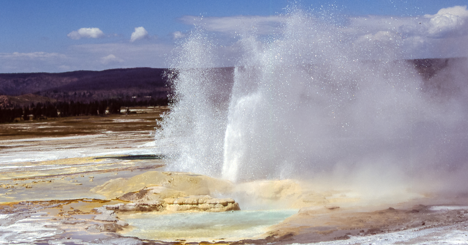
The researchers say that composition, and its sharp, well-defined boundary, offers a clue about why Yellowstone’s enormous magmatic system has stayed volcanically quiescent for hundreds of thousands of years even as heat and gas continually well up from below. The team’s modeling indicates that the reservoir currently holds a lower proportion of gas bubbles than geologists typically associate with the conditions that precede large eruptions, and that volatile gases appear to be escaping efficiently upward through the crust rather than accumulating and building pressure. That gas ultimately surfaces through Yellowstone’s well-known hydrothermal features — its geysers, hot springs and mud pots, including sites such as Mud Volcano — rather than staying trapped underground.
No change to eruption forecasts
The USGS Volcano Hazards Program, which continuously monitors Yellowstone alongside university partners through the Yellowstone Volcano Observatory, has long held that an eruption is not imminent, and this study does not revise that assessment. University of Utah seismologist Jamie Farrell, a co-author on the paper, said the long-dormant volcano remains in no immediate danger of erupting. Rather than pointing to any change in eruption risk, the new imagery gives scientists a clearer, more precise picture of the reservoir’s structure than earlier, coarser seismic models could provide — data that researchers say will help refine long-term hazard models and improve future monitoring of subtle changes within the system.
Yellowstone sits atop one of the few volcanic systems on Earth capable of producing a “supereruption,” an event roughly a thousand times larger than the 1980 eruption of Mount St. Helens. The caldera’s last such eruption occurred about 631,000 years ago, and it has also produced smaller lava flows in the tens of thousands of years since. It also happens to sit beneath one of the most heavily visited national parks in the country, drawing millions of tourists annually to the same geothermal features that the new study links to the system’s ongoing gas release.
Part of a broader mapping effort
The 2025 survey builds on more than a decade of seismic and geodetic work at Yellowstone, including earlier studies that mapped a deeper, lower-crustal magma reservoir beneath the shallower one this experiment targeted. Because the vibroseis method generates a known, controllable signal, it lets researchers resolve much finer structural detail — including a boundary only tens of meters thick — than passive monitoring of natural earthquakes alone typically allows. The research team has said the same active-source approach could be applied to other volcanic systems worldwide where a more precise picture of subsurface magma is needed for hazard assessment.
The study’s authors emphasize that continuous monitoring, rather than a single snapshot, remains central to understanding how the Yellowstone system evolves. The Yellowstone Volcano Observatory tracks the caldera’s seismicity, ground deformation and gas emissions year-round, and researchers say future surveys using similar techniques could help detect whether the reservoir’s structure changes over time.
The vibroseis method itself is borrowed from energy exploration, where similar trucks are routinely used to map oil and gas deposits by generating a controlled, repeatable vibration instead of using explosive charges. That made it a practical choice for a survey confined to paved roads inside a national park, where the truck could be driven from turnout to turnout along the existing road network rather than requiring off-road access or more disruptive seismic sources.
Because the resulting reflector is so sharply defined, the team argues it likely represents a real physical contrast in the rock, rather than an artifact of limited resolution in earlier surveys, which relied mainly on passive recordings of distant earthquakes and lacked the fine spatial detail an engineered source can provide. Earlier work using passive seismic tomography had already outlined the general shape and depth range of Yellowstone’s upper crustal magma reservoir and the deeper reservoir beneath it, but could not resolve a boundary as thin as the one described in the new study. The added precision matters for hazard modeling because knowing how sharply melt is concentrated, rather than assuming it grades gradually into surrounding rock, changes how geophysicists interpret gravity, deformation and heat-flow signals gathered by other monitoring instruments across the caldera.