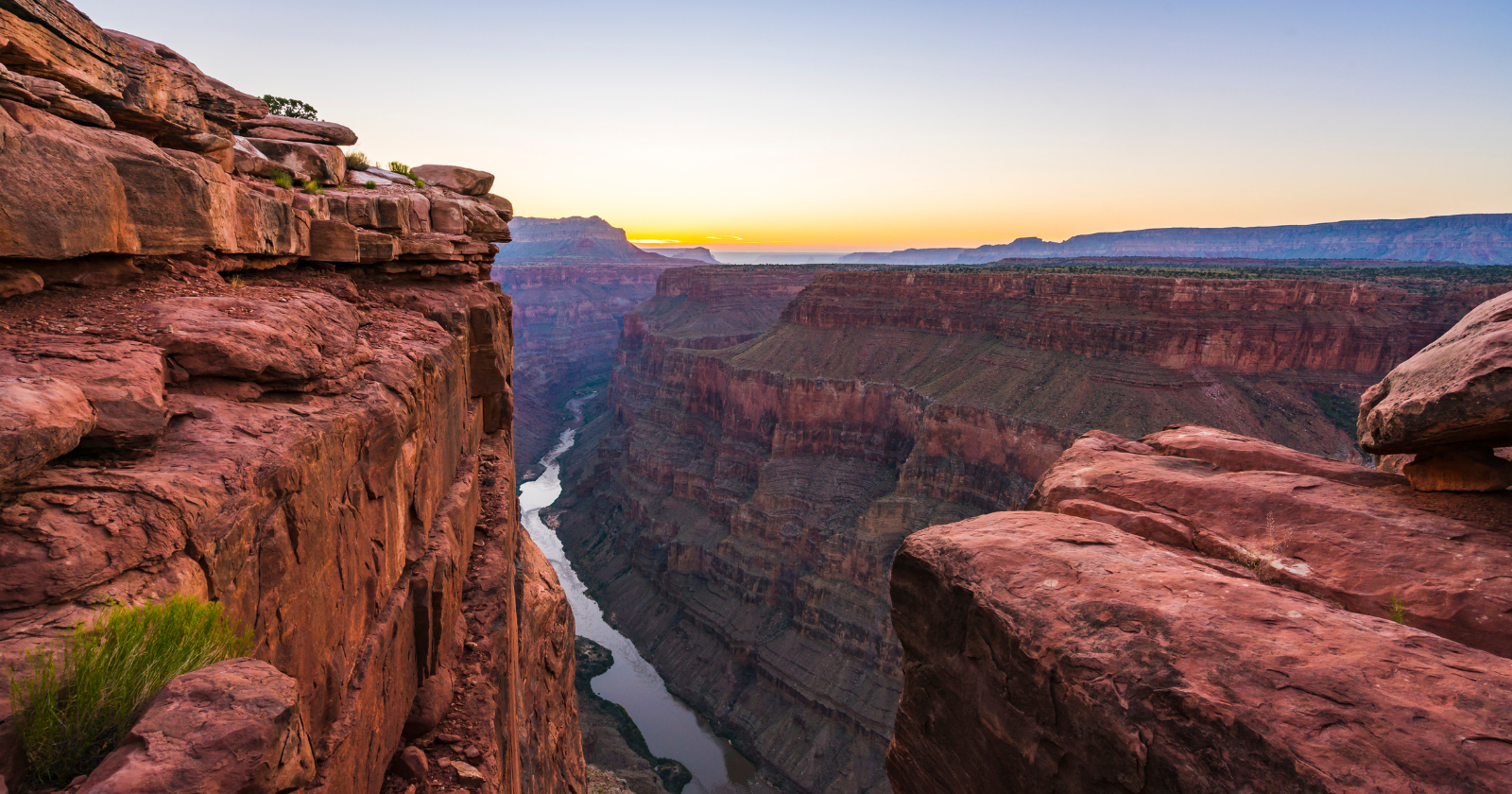
The Colorado runs about 1,450 miles from the Rockies toward the Gulf of California. But most years, very little of its water makes it that far.
The same water that carved the Grand Canyon now dwindles in the desert south of the U.S.-Mexico border. Dams, canals and diversions remove most of its flow before it can reach salt water.
How does a river that built a natural wonder end up unable to reach its own end?
The National Park Service says the Colorado River has been carving the Grand Canyon for the past five to six million years. Slow, relentless work. Water doing what water does when you give it enough time.
What changed isn’t the river’s strength. It’s how much of it we take out before it can flow. The lower Colorado is among the most heavily regulated rivers in the world, and the arithmetic of that is the whole story.
Let’s start with who uses the water. The Bureau of Reclamation says agriculture depends on about 70 percent of Colorado River water, while roughly 40 million people rely on the basin for at least part of their municipal supply. Either way, it is a lot of people drawing from one desert river.
Farms are the bigger draw by far. The river and its tributaries irrigate roughly 5.5 million acres of farmland, while cities including Los Angeles, Las Vegas, Phoenix and Denver tap the basin too.
A study led by Brian Richter found that alfalfa and other crops grown to feed cattle are the single biggest direct human use of the basin’s water. When people picture a drained river, they tend to picture faucets and lawns. The truer picture is hay fields.
The rules did not help. The seven U.S. basin states divided the river under the 1922 Colorado River Compact, while a 1944 treaty later set Mexico’s share. The original allocations relied on a period that was significantly wetter than average and assumed more water than the river’s long-term flow could reliably provide.
Since 2000, the basin has also experienced a historic extended drought. Promise more water than exists, in a drier world, and the shortfall has to land somewhere. It lands at the bottom, where the river meets the sea.
For much of the 20th century, the river still occasionally reached the Gulf during wet periods. Direct measurements confirmed freshwater reaching the sea during flood flows in 1993 and 1998. After that, the delta that once held a thriving wetland ecosystem was left with long dry reaches and degraded riverbanks.
There was one dramatic exception. Under a U.S.-Mexico agreement, engineers deliberately released a burst of water, a “pulse flow,” in the spring of 2014. The idea was to send water down the dry channel and see whether the delta could be partly revived. That May, the water reached the Sea of Cortez after traveling nearly 100 miles from Morelos Dam. The total pulse was about enough water to supply over 200,000 homes for a year.
The people who worked on it did not hide how it felt. Jennifer Pitt of the Environmental Defense Fund said the pulse flow meeting the sea marked “completion of a journey that the Colorado River has not made in a long time.” Edward Drusina, the U.S. commissioner overseeing the joint water body with Mexico, said that “to say that we reconnected the river with the sea is especially gratifying.” I find it telling that reconnecting a river to the ocean it built now counts as an achievement. It used to happen on its own.
The pulse was temporary by design. A test, not a cure. But it answered one question plainly: put enough water back into the channel and it can reach the estuary. The reason it usually does not is that most of the flow is diverted first.
The Colorado is a clear example of how an overdrawn river disappears: allocate its water using optimistic numbers, put most of the demand on farming, then keep drawing while drought and warming reduce the reliable supply. The river absorbs the gap by vanishing.