If Valles Marineris were placed on Earth, it could extend from California to New York. It is not one canyon in the ordinary terrestrial sense, but an immense connected system of troughs, cliffs and chasms running for thousands of kilometres near the Martian equator.
Most of us use the Grand Canyon as our mental yardstick for an enormous opening in the ground. It is a reasonable benchmark. It is simply the wrong scale for Mars. Put the two side by side and the comparison reveals not only how much larger Valles Marineris is, but also how differently the two landscapes formed.
What the Grand Canyon actually is
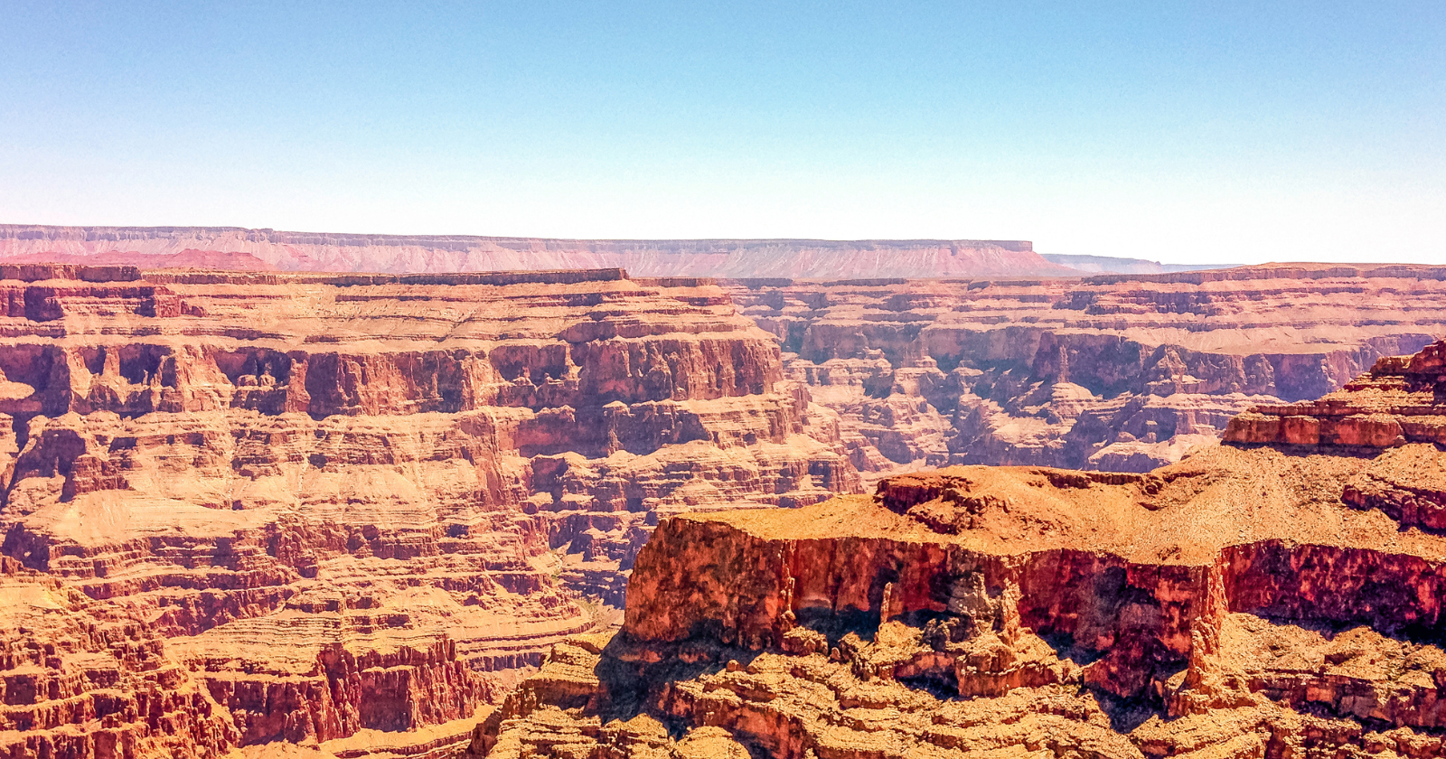
The benchmark is genuinely impressive. According to the US National Park Service, the Grand Canyon is 277 miles, or 446 kilometres, long. It reaches as much as 18 miles wide and about 6,000 feet deep at its greatest dimensions. From the South Rim, the opposite wall can appear almost like a separate horizon.
The canyon also exposes an extraordinary record of geological time. Its oldest visible basement rocks are almost 2 billion years old, although the canyon itself is far younger. The Colorado River established its course through the modern canyon roughly six million years ago, and water carrying sediment has continued cutting into the rock ever since.
That distinction matters. The Grand Canyon is principally an erosion story. The Colorado River, aided by tributaries, weathering and mass movements, carved downward while the Colorado Plateau was being uplifted. Everything about its present shape says “sculpted.”
Hold that whole landscape in your head as a measuring stick. The Martian comparison operates on another scale entirely.
Valles Marineris and the numbers behind the comparison
Valles Marineris runs eastward from the Tharsis region near the Martian equator. Published dimensions vary because different sources define the limits of the canyon system and measure depth from different reference points. A current NASA description gives it a length of about 2,500 miles, or 4,000 kilometres.
The individual chasms within the system are themselves enormous. Melas Chasma, near its centre, reaches depths of up to 9,000 metres below the surrounding plains. Its floor contains terrain produced by wind, water and gravity-driven landslides, making it one section of a much more complicated geological system.
Using the official length of the Grand Canyon, Valles Marineris is roughly nine times longer. At its widest, it may be more than 30 times wider, while its deepest chasms descend several times farther than the Grand Canyon does. It also spans approximately 20 percent of the circumference of Mars.
Calling it a canyon is useful, but the word disguises the scale. Valles Marineris is better understood as a continent-sized system of fractures, sunken blocks, collapsed walls, landslides and eroded troughs.
How it formed, and why it is unlike the Grand Canyon
This is where the nickname “the Grand Canyon of Mars” becomes misleading. It communicates size, but not origin. The Grand Canyon was cut mainly by a river. Valles Marineris appears to have begun as a tectonic rift in which the Martian crust was stretched, fractured and displaced downward.
The canyon system lies beside Tharsis, an enormous volcanic province that includes Olympus Mons, the largest known volcano in the solar system. As magma accumulated and the Tharsis region swelled, the surrounding crust came under stress. Geologists think this stretching produced large faults and caused sections of crust to drop, opening the troughs that became Valles Marineris.
NASA describes the system as a large “crack” or rift in the Martian crust associated with the Tharsis region and later widened by erosion. Geological research has likewise treated Valles Marineris as an extensional tectonic feature, meaning a structure formed as the crust was pulled apart.
Mars differs from Earth in an important respect. Earth’s outer shell is divided into moving tectonic plates, while Mars does not have Earth-like plate tectonics. Its crust behaves more like a largely continuous outer shell. That allowed volcanic loads and internal stresses around Tharsis to deform one region repeatedly rather than being accommodated through the same global system of moving plate boundaries seen on Earth.
That does not mean Earth is incapable of producing rifts. The East African Rift, for example, is an active terrestrial system created by crustal extension. The difference is that Valles Marineris developed on a planet with a distinct crustal structure, lower gravity, enormous long-lived volcanoes and no active global plate-tectonic system. Those conditions helped create a rift complex on a scale that no single canyon on Earth approaches.
A canyon reshaped by collapse, landslides and water
The first fractures were only the beginning. Once deep troughs existed, their walls collapsed and retreated. Vast landslides carried material onto the canyon floors, while wind and other erosional processes continued modifying the landscape. ESA describes the system as having been further shaped by water flows, landslides and erosion after the crust opened.
Water may have played a significant role in particular sections, although Valles Marineris was not excavated by one enormous river equivalent to the Colorado. ESA notes that strong flows may have reshaped and deepened parts of the canyon after its formation. Spacecraft have also detected water-altered minerals, channels and deposits indicating that liquid water or groundwater affected parts of the system at different times.
In Melas Chasma, for example, researchers have identified ancient channels and sulphate-bearing deposits that may have formed in a former lake. Gravity, wind, groundwater, catastrophic flooding and perhaps ice-related collapse may all have contributed to the landscape visible today.
Valles Marineris is therefore not purely a crack and not purely a canyon carved by erosion. It is a tectonic rift system that was enlarged and remodelled by collapse, landslides, wind and episodes of water activity.
What we still do not know
Valles Marineris was revealed in its full scale when Mariner 9 mapped it in the early 1970s. Later orbiters have photographed its cliffs, minerals, faults and deposits in far greater detail. Yet important parts of its history remain uncertain.
Researchers broadly agree that crustal extension associated with Tharsis was fundamental, but they continue to debate the timing and sequence of faulting, collapse and erosion. Some troughs may have formed differently from others. The contribution of groundwater, ice, volcanic activity and catastrophic flows also appears to have varied across the system.
Even establishing one definitive depth is difficult. A measurement may compare a canyon floor with the immediate plateau above it, with a regional reference level or with Mars’s global datum. That is why reputable agencies give figures ranging from about seven kilometres to more than nine kilometres for its deepest sections.
That uncertainty makes Valles Marineris more interesting, not less. We can map a scar extending roughly one-fifth of the way around Mars and identify the broad forces that created it, yet we still cannot reconstruct every stage of its formation. The Grand Canyon is a vast river-carved landscape cut into ancient rock. Valles Marineris is something stranger: a planetary-scale rift system, opened by tectonic stress and then transformed by collapse, landslides, wind and water over billions of years.