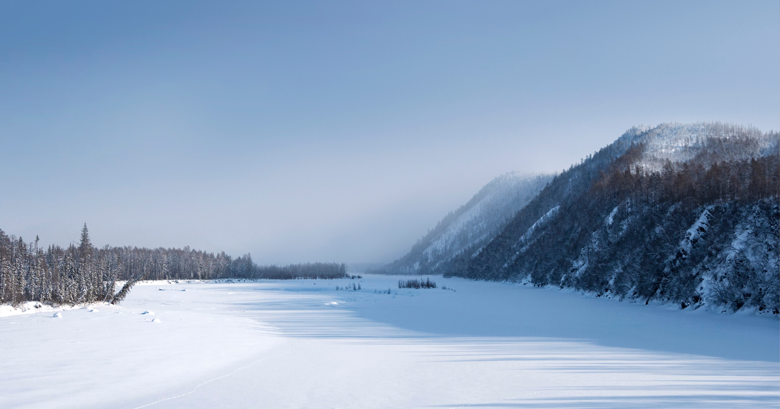
On the 20th of June 2020, the weather station in Verkhoyansk, in the north of Russia’s Sakha Republic, recorded a daily maximum air temperature of 38 degrees Celsius, or roughly 100 Fahrenheit. Verkhoyansk sits about 115 kilometres north of the Arctic Circle, in a landscape where the ground is permafrost and the summer growing season is measured in weeks. The reading was unusual enough that the World Meteorological Organization spent roughly eighteen months verifying it before formally recognizing it, in December 2021, as a new Arctic record. To accommodate it, a WMO expert panel added an entirely new category to its Archive of Weather and Climate Extremes: highest recorded temperature at or north of 66.5 degrees latitude, the Arctic Circle. The WMO said it was the extreme reading itself, together with ongoing climate change, that prompted the new category.
The town and its record book
According to the WMO, the meteorological station at Verkhoyansk has been observing temperatures since 1885, one of the longer records anywhere in the high north. The town has a population of slightly over eleven hundred, and its local economy rests mostly on hunting and forestry. It sits in the northern part of the Republic of Sakha, in what the WMO describes as an extreme, very harsh, dry continental climate. The station’s record low is a reading of about minus 67.8 degrees Celsius from the late nineteenth century. It is the combination of that reading with the June 2020 high that gives the town its unusual distinction.
The gap between the two extremes at the same weather station is roughly 106 degrees. Guinness World Records lists it as the greatest temperature range recorded anywhere on Earth, logging the low as minus 67.7 degrees in February 1892. Oymyakon, another Sakha settlement several hundred kilometres to the southeast, has long competed with Verkhoyansk for the cold end of that title. But the June 2020 reading gave Verkhoyansk the hot end as well.
The video below, made by our sister site, picks up where the record leaves off. It’s about the fires burning under the Arctic: what lights them, why firefighters can’t reach them, and what’s coming out of ground that’s been frozen since the last ice age.
What the atmosphere was doing that week
The meteorology behind the 38-degree reading is well documented. An open-access attribution study published by Andrew Ciavarella and colleagues in the journal Climatic Change in 2021 traces it to a blocking pattern that formed between the 6th and 8th of June. A persistent low over central Siberia blocked the subpolar jet stream, leaving a moderate high-pressure ridge over eastern Siberia. The authors suggest that ridge likely began as a piece cut off from the North Pacific anticyclone. After the 12th of June, the high-pressure centre spread across much of eastern Siberia, Verkhoyansk included. From the 16th and 17th, it came under a strong flow of tropical air pushed north and east from lower latitudes. Between the 17th and the 27th, mean daily temperatures in the area ran more than ten degrees above their 1960 to 2010 norm, reaching 13.7 degrees above normal at the peak.
The same three weeks were also bone dry. The paper finds that the dry spell from the 10th to the 30th of June was longer than 99.9 percent of comparable dry spells. With no rain and a stationary high overhead, very little stood between the Siberian surface and the sun.
What the climate models say about it
The Ciavarella paper is a rapid attribution study. It was designed to answer one question: how much of what happened in Siberia in the first half of 2020 can be traced to human-induced warming? The analysis combined observational datasets with a large collection of climate models, each of which had to pass a statistical validation step against those observations. For the regional analysis, 50 of 71 models made the cut.
The regional analysis looked at the January to June 2020 warm anomaly across Siberia. For that six-month event, the authors calculated that human influence had made it at least about five hundred times more likely, with a best estimate of around ninety thousand times. In other words, the six-month warm period would have been virtually impossible in the climate of 1900. The 38-degree single-day reading at Verkhoyansk is a harder statistical case, because daily maxima at a single station vary far more than regional averages. The authors attach low confidence to their likelihood estimate for that day. They were more confident about its intensity: human influence raised the temperature of the hottest June day at Verkhoyansk by more than 1 degree, with a combined best estimate of about 1.5 degrees (range 0.8 to 2.5) compared with 1900.
What the heat actually did
The reading itself was the visible headline, but the summer of 2020 in Arctic Siberia did far more damage than a single number in a WMO archive suggests. According to the WMO, average temperatures over Arctic Siberia ran as high as ten degrees above normal for much of that summer. Persistent heat combined with drought did what that combination does in a fire-prone boreal landscape.
The Ciavarella paper compiles some of the early impacts. By the 25th of June, citing official Russian data reported in the press, it puts the burned area in Siberia at about 7,900 square miles. At the same point the previous year, the figure was 6,800. Citing the Copernicus atmosphere-monitoring service, it puts the June 2020 carbon dioxide release from those fires at around 56 megatons, more than the annual emissions of some countries, Switzerland among them. The paper also records a disaster near the Arctic mining city of Norilsk. In late May, a fuel tank there burst and released about 150,000 barrels of diesel into a river. Officials said the tank had sunk after permafrost that had held firm for years gave way during the warm spring. The 38-degree reading is the part of the event that got the WMO to create a new record category, but the season around it is the part that changed the ground.
What the record range is really saying
The interesting thing about Verkhoyansk holding both extremes is that the two records are not the same kind of event. The minus 67.8 reading is a single observation from the late nineteenth century, and it has stood for more than 130 years. The 38 reading dates from June 2020. Ciavarella and colleagues estimate that human warming had added about one and a half degrees to the hottest June day at that station compared with 1900. The paper also notes that the region is warming fastest in winter, so Siberia’s cold is not standing still either. What stays fixed is the record low, a historical reading that cannot be revised upward. Meanwhile the hot end of the range has already moved.
That makes the largest-temperature-range title less a fixed geographical fact than a moving one. In its announcement, the WMO said it considers greater extremes in the Arctic likely in the future. The Ciavarella paper projects that, by 2050, a Siberian hot spell of the same rarity would be roughly 2 degrees warmer than in 2020. If the next Arctic record falls at Verkhoyansk, the town’s range record will grow with it.