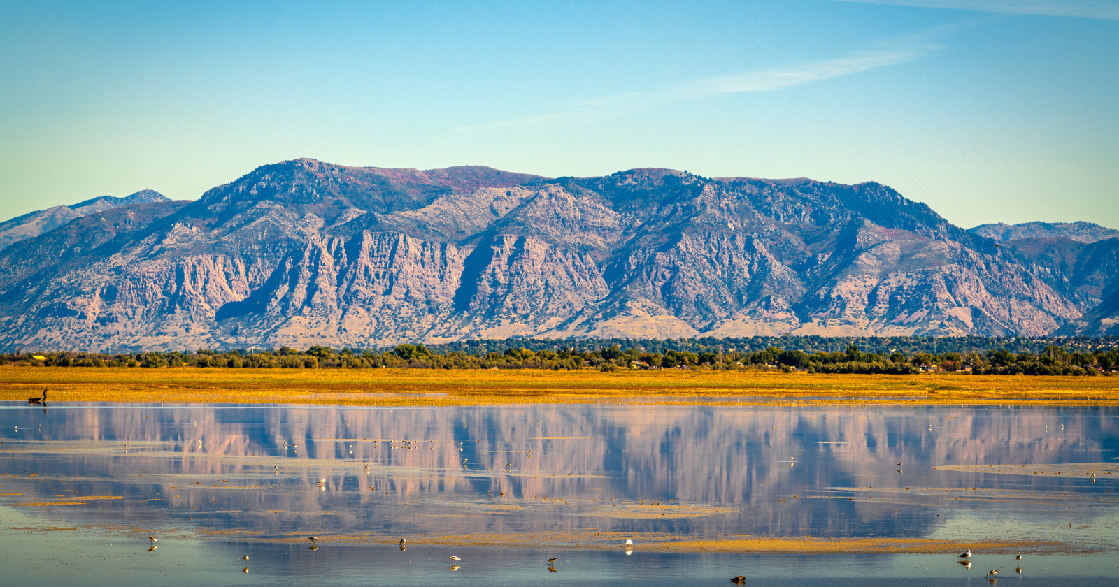
If you’ve flown into Salt Lake City in the past few years, you’ve probably seen the beginning of it from the plane window. What used to be a broad silver body of water is now ringed with pale, dusty flats that stretch further inland with each passing summer. The lake has lost approximately two-thirds of its surface area since the late 1980s. Roughly 800 square miles of former lakebed are now exposed to the open air. And unlike a normal receding shoreline, this one comes with a specific chemical problem attached.
The sediment on the exposed lakebed is not clean sand. It’s a fine-grained mud that has spent decades absorbing runoff from a century and a half of upstream mining, smelting, and industrial discharge, along with a set of naturally occurring toxic elements that have concentrated in the lake as the water evaporates around them. Arsenic. Mercury. Lead. Lithium. Antimony. Uranium. Every one of these has been documented in the exposed playa, and every one becomes airborne when the wind picks up and carries it toward the cities to the east.
Who lives in the path of it
The Wasatch Front is the strip of urban and suburban development that runs approximately 105 miles north to south along the base of the Wasatch Mountains, from Brigham City down through Salt Lake City to Provo. It’s home to more than three-quarters of Utah’s total population, or roughly 2.5 million people. And it sits directly downwind of the drying lakebed. When storms come through the west desert and push dust eastward, that dust arrives in the neighbourhoods, schools, playgrounds, and hospitals of the Wasatch Front.
The Ballard Brief at Brigham Young University estimates that the exposed lakebed already generates approximately 15 large dust storm events each year, and researchers expect that number to rise as more lakebed is uncovered. Kevin Perry, an atmospheric scientist at the University of Utah who has mapped the specific “hotspots” of the exposed lakebed where the dust originates, has stated plainly that based on where those hotspots are located, everyone along the Wasatch Front and the Tooele Valley is being impacted at certain times.
The dust doesn’t stop at the city boundary. It doesn’t respect zip codes. And it doesn’t announce itself. On a bad day it can look like ordinary haze on the horizon, or like the light-brown film that settles on a car overnight. Most people don’t notice they’re breathing it in.
This video explains more:
What the research actually says
A team at the University of Utah, led by chemical engineering professor Kerry Kelly, took playa samples into the laboratory and published the results in a peer-reviewed 2024 paper in Atmospheric Environment. Their finding, summarised by the university’s own science reporting, was that the sediments from the exposed lakebed are more chemically reactive and more toxic than other major dust sources in the region. Arsenic and lithium levels in the sediment exceed the EPA’s residential soil standards. When mice were exposed to the dust in controlled experiments, they developed measurable lung inflammation.
A separate 2025 paper in GeoHealth identified the most exposed group as children under six years old. Small children breathe more air per kilogram of body weight than adults do, they play closer to the ground where settled dust accumulates, and they swallow a substantial fraction of the dust they encounter. A 2024 study in the journal One Earth found that the dust falls disproportionately on Hispanic and Pacific Islander communities in the Salt Lake metropolitan area, following the same pattern of environmental burden that public-health researchers have documented in dozens of other American cities.
And the contamination doesn’t just enter the lungs. A 2026 study from Utah State University found that leafy vegetables grown in soils exposed to Great Salt Lake dust absorb elevated levels of arsenic, uranium, lithium, antimony, and beryllium through their leaves, and that the elevated levels persist even after the produce has been thoroughly washed. Within the three most populous counties around the lake, there are approximately 40 community gardens, countless backyard gardens, and around a dozen farmers markets. All of them are inside the fallout zone.
How this actually happened
The Great Salt Lake is not drying because of a single event. It’s drying because of a slow accumulation of water diversions upstream. Agricultural users, municipal water systems, and industrial operations have been drawing water out of the rivers that feed the lake for well over a hundred years, and the balance between inflow and evaporation tipped decisively into the negative several decades ago. Drought has accelerated the process. Population growth along the Wasatch Front has intensified it.
In June 2022, the New York Times described the drying lake as an “environmental nuclear bomb.” The framing was blunt, but it captured something the numbers alone don’t quite communicate. The lake has been shrinking not just relative to its historical baseline but in a specific direction that is running out of runway. There’s a level below which the ecosystem probably cannot recover, at which the brine shrimp populations that support 10 million migratory birds collapse, at which the mineral extraction industries operating on the lake become unviable, and at which the exposed lakebed becomes a permanent source of dust for the surrounding region.
The scientific consensus, laid out clearly in HEAL Utah’s ongoing tracking of the lake’s condition, is that the lake needs an additional roughly one million acre-feet of water per year to stabilise. That water is not currently being delivered. Voluntary conservation measures and some legislative changes have slowed the decline in recent years, but they have not reversed it.
The counterpoint worth taking seriously
Not every research team studying this problem has arrived at the same conclusions. A group at Brigham Young University, led by chemistry professor Jaron Hansen, analysed a decade of urban air-quality monitoring data along the northern Wasatch Front and found no statistically significant increase in dust events attributable to the lake’s decline. Their published analysis found no significant increase in the concentration of toxic metals in urban air samples. Their conclusion was that the metals reaching the general population currently fall below regulatory concern thresholds, though they also noted that this does not eliminate the underlying risk, particularly given pre-existing arsenic and lead levels in the region.
Both readings can be true at once. The dust is measurably more toxic in the laboratory than other regional dust sources. And its measurable impact on daily urban air quality, at current lake levels, has not yet risen to a statistically dominant signal in the monitoring data. The trajectory matters. If the lake continues to recede, the exposed lakebed grows, and the specific hotspots that generate the highest emissions come to play a larger role in the regional dust budget.
The Owens Lake precedent
Utah has a nearby cautionary case to look at. Owens Lake in eastern California was drained in the early twentieth century by water diversions to Los Angeles, and by the 1920s the exposed lakebed had become the largest single source of particulate air pollution in the United States.
Utah has a nearby cautionary case to look at. Owens Lake in eastern California was drained in the early twentieth century by water diversions to Los Angeles, and by 1926 the exposed lakebed had become the largest source of carcinogenic particulate air pollution in North America. According to an exhibition documenting the history at the University of the Pacific, Los Angeles has spent more than $2 billion on the Owens Lake dust mitigation program since it began construction in 2000, has installed 45 square miles of dust control measures including gravel cover, managed vegetation, and shallow flooding, and continues to consume so much water on the effort that the program may not be sustainable as the regional climate dries. A dry lakebed, once fully exposed, has to be actively managed forever.
The Great Salt Lake is more than ten times the size of Owens Lake. The population living directly downwind of it is approximately fifty times larger. The comparison, on the current best interpretation of the evidence, is not reassuring.
What this actually asks of us
The technical remedy is straightforward to describe. Put more water back in the lake. The volumes are known. The upstream sources are identified. The mechanisms for redirecting some fraction of current water use back into the lake, through water rights adjustments, agricultural efficiency improvements, and voluntary transfers, are well within the range of what other American states have already implemented for similar problems.
What’s harder is the political economy. Water rights in Utah, like water rights across the American West, are legally structured to favour senior users and existing agricultural allocations. Reallocating water to keep the lake alive means asking specific people, communities, and industries to give something up. That negotiation is happening now, slowly, and with a countdown clock attached that nobody knows the exact length of.
What’s happening at the Great Salt Lake is not an obscure regional problem. It’s a preview of what a slow-motion ecological collapse looks like in a wealthy, well-monitored, highly technical society, and it’s happening on a timescale short enough that the same children who breathe the dust today will still be alive to know how the story ended.