When Barcelona announced in 2015 that it planned to close hundreds of city streets to through-traffic and push all the flow out to the perimeter of nine-block clusters, the immediate objection was that the surrounding roads would gridlock. Cars need to go somewhere, the argument ran, and pushing them off one street would just overwhelm the next. Nearly a decade later, the measurements are in on three completed pilots, and that prediction hasn’t held up. Nitrogen dioxide has fallen inside the pacified zones, noise has fallen, and on the perimeter roads that were meant to seize up, the number of cars has, if anything, gone down.
What a superblock actually is
A superblock, or superilla in Catalan, is a three-by-three grid of ordinary city blocks treated as a single planning unit. The interior streets stay open, but through traffic gets redirected to the perimeter roads that bound the whole nine-block cell. Inside, only residents, deliveries, and emergency services can bring a car in, and they’re capped at 10 to 20 kilometres per hour. The rest of the road surface becomes shared space: footpath-height paving, benches, planters, ping pong tables, whatever the residents put there.
The design was developed by the urban ecologist Salvador Rueda through Barcelona’s municipal urban ecology agency BCNecologia, and was adopted as the centrepiece of the city’s mobility strategy in 2015. The original plan was to build roughly 503 of them across the city. Three have so far been completed as full pilots, in the districts of Poblenou (2016), Sant Antoni (2018), and Horta (2018), with more under construction in the Eixample.
Barcelona did it nine blocks at a time. Seoul did it to a six-lane elevated motorway, and the video covers what happened to the traffic afterwards — an answer that still makes planners uncomfortable. Watch it below:
Why the grid matters
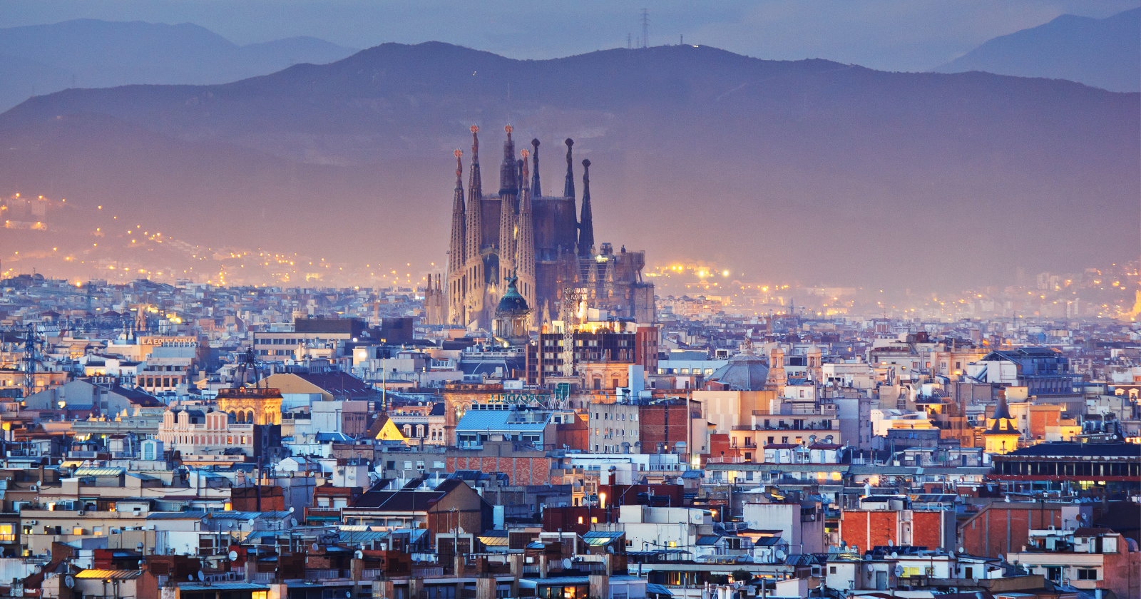
The reason this works in Barcelona is partly the street plan the city was already sitting on. Most of central Barcelona lies inside the 19th-century grid designed by the Catalan engineer Ildefons Cerdà in 1859, where the whole district of Eixample is laid out as a uniform matrix of 133-metre square blocks with chamfered corners. Nine of those blocks together happen to form a natural 400-metre by 400-metre unit that maps cleanly onto the existing streets, which means no demolition, no widening, and no rebuilding. What changes, at least in the initial phase, is the signage, the pavement paint, the planters, and the direction of the traffic flow.
The interventions are also, by design, reversible. Poblenou began in September 2016 as a temporary tactical implementation, which meant that if the model failed, the city could put the streets back the way they were at low cost. That single design choice changed the political calculus around the pilot, because a superblock could now be tried without a permanent commitment and then made permanent only if the measurements supported the case.
What the measurements show
The most detailed environmental evaluation of the finished pilots was published by the Agència de Salut Pública de Barcelona in 2021, under a research programme called Salut als Carrers, which translates roughly as Health in the Streets. According to the ASPB’s official results report, the outcomes across the three neighbourhoods varied significantly, in ways that had more to do with the pre-existing pollution and traffic profile of each area than with the design of the superblock itself.
Sant Antoni, which took a busy crossroads at Comte Borrell and Tamarit streets and converted it into a pedestrianised square of 1,800 square metres, produced the biggest and most statistically significant environmental changes. Nitrogen dioxide fell by 14.57 micrograms per cubic metre on average, roughly 25 per cent below the pre-intervention baseline, with particulate matter under 10 microns dropping by 17 per cent and daytime noise coming down by 3.5 decibels. Horta, which pacified two streets in an area that already had relatively low background pollution, produced smaller and more localised effects, with 17 and 27 per cent NO2 reductions at two ISGlobal measurement points but no significant change at others. Poblenou was assessed qualitatively rather than quantitatively, and residents there reported perceived reductions in both noise and air pollution.
What happened on the surrounding roads
The specific question everyone had asked in advance was whether the perimeter roads would gridlock as displaced cars piled onto them. According to the European Commission’s Urban Mobility Observatory record of an interview with Barcelona’s Deputy Mayor Janet Sanz, they didn’t. The city’s own measurements have found that the superblock interventions have reduced the number of cars circulating both inside the pacified zone and on the adjacent streets, with roughly 17,000 vehicles a day disappearing from the redeveloped Meridiana Avenue and noise on the Glòries superblock falling by 9 decibels.
What’s actually going on isn’t magic. Some of the through-trips that used to be made by car simply aren’t being made anymore, and others have shifted to bike, foot, or public transport, because the specific journey the driver was making no longer offers a straight route through the middle of a residential neighbourhood. The transport-economics literature calls this traffic evaporation, and it’s been documented since at least a 1998 meta-analysis by Sally Cairns, Carmen Hass-Klau, and Phil Goodwin. Barcelona is now one of the largest cities where it’s been observed at scale.
What’s coming next
The current municipal strategy, called Superilla Barcelona, no longer aims to complete all 503 of the original superblocks. It aims instead at a linear network of green axes running through the Eixample, converting one in three streets to pedestrian-priority spaces by 2030, with the first four axes on Consell de Cent, Girona, Rocafort, and Comte Borrell streets already under construction or complete. The target set for 2024 was that 80 per cent of trips within Barcelona should be made on foot, by bike, or by public transport. The measurements to date have proven that the model works at neighbourhood scale, and what the next few years will decide is whether it also works at the scale of an entire city, and whether the surrounding grid will keep evaporating traffic as more streets get folded in.