

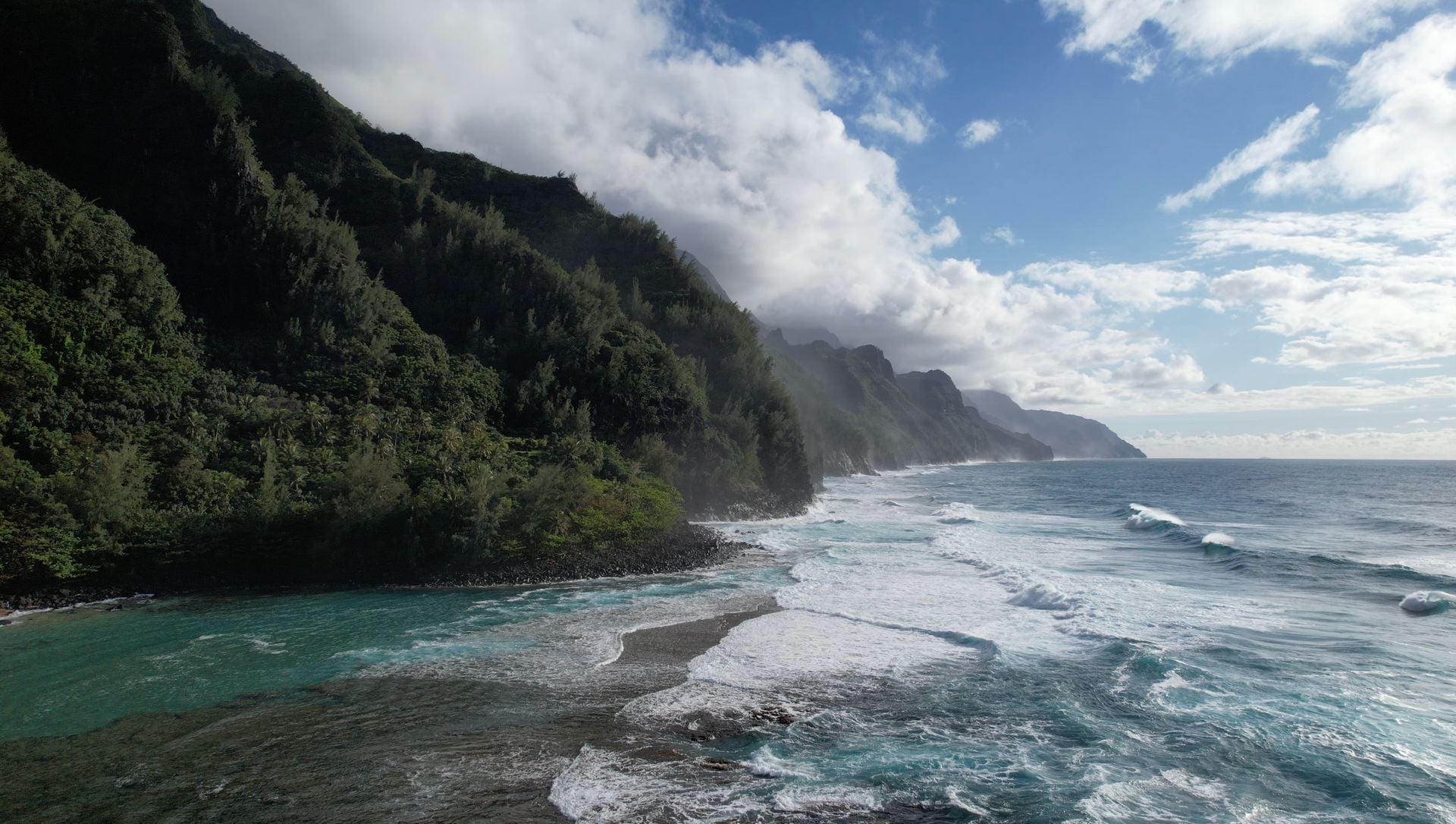
FOX Weather’s live position on Kauaʻi opened on flat water, dry sand and full sun while Hurricane Lowell was already an organized object on the approach to the western Hawaiian Islands in early September 2026 — and that mismatch, rather than any single gust, is what the shot is documenting. A calm beach in front of a camera does not contradict a hurricane advisory. It measures the interval between a storm’s arrival on the radar and its arrival underfoot.
The network’s description of the segment places Storm Specialist Mike Seidel on the sand as the island waits, with turtles, roosters and seals sharing the frame, the beach calm and sunny for the moment, while he walks through ground conditions and analyzes what is to come. That is the whole assignment of a pre-landfall stand-up: establish the baseline, on camera, before the baseline is gone.
The forecast context around it was moving the entire time. Kauaʻi County sat under hurricane-related alerts during the approach window, and FOX Weather’s written coverage framed the threat in terms of rain, flooding, surf and wind rather than a single headline number. Per that reporting, Lowell had peaked far higher earlier in its life cycle — Category 5 at its strongest — and was described in the Category 2 to 3 range as it neared Hawaii, with FOX Forecast Center language putting the closest approach on the order of roughly 100 to 150 miles west or southwest of Kauaʻi. Those figures were current to their advisory cycle and no further; storms change category and track between updates, and the numbers attached to Lowell in one broadcast hour were not the numbers attached to it in the next.
What a calm beach shot is actually measuring
A tropical cyclone is not a wall that arrives all at once. It is a wind field with a radius, a moisture envelope that outruns the center, and a swell train that leaves the storm well before the storm reaches anyone. The distance between a hurricane’s position in an advisory and the weather a person can feel on a specific stretch of shoreline is a real, measurable gap — sometimes many hours wide, sometimes most of a day.
That gap is exactly what a calm live shot captures. When the camera shows still air over an unbroken horizon while the National Hurricane Center and forecast desks are describing an approaching system, both descriptions are accurate at once. One is reporting the storm’s state; the other is reporting the shoreline’s state. They converge later, and the convergence is not instantaneous or uniform — south-facing and west-facing coasts on the same island can begin to register a passing system hours apart, depending on where the center tracks.
The wildlife in the frame belongs to the same logic. Turtles on the sand, roosters in the grass, seals hauled out: these were the conditions of that hour, on that beach, and they are part of the baseline record rather than a signal about what the storm would or would not do. Kauaʻi’s approach window also unfolded inside a busy stretch of Pacific activity — NASA Earth Observatory documented Lowell alongside Karina and Marie as a trio of simultaneous cyclones in early September 2026 — which is context for the basin, not a forecast for any one island.
How live storm TV uses that lag without pretending the hazard is gone
The risk in broadcasting from a sunny beach ahead of a hurricane is obvious: the picture can read as reassurance. The counterweight is the structure of the segment itself, which pairs the visual baseline with analysis of what follows — conditions now, then the reasoning about later, delivered in the same breath rather than in separate stories.
That pairing is why the pre-storm stand-up survives as a format. It gives an audience a shared reference point. Viewers who see the flat water at midday have something concrete to compare against when the same shoreline is described hours later, and the comparison does more work than a number in an advisory table. It also fixes the timeline honestly: the storm was already inbound when the water was still glassy, and nothing about the calm implied the forecast had softened.
The FOX Weather live package from the island is here:
Reading an ephemeral stand-up after the fact
Live weather coverage ages in a particular way. The video keeps its timestamp, but everything it was reporting against — intensity, distance to the coast, the boundaries of watches and warnings — kept updating after the broadcast ended. A clip labeled as the calm before a storm is therefore not a summary of what the storm did. It is a fixed sample from a moving situation, and its value depends on being read that way.
So the correct thing to take from a flat, sunlit Kauaʻi with a hurricane inbound is not an outcome. It is the shape of the interval. Radar had Lowell. The beach did not yet. Between those two facts sits the entire operational purpose of a watch and a warning: time issued in advance, spent on the assumption that present conditions are not predictive of the next ones.
Whatever the advisories said in the hours after — and they continued to change, as advisories do — the stand-up itself holds only that one measurement. Still air, a working camera, and a storm whose position was already known to everyone watching, closing a distance that the picture could not yet show.