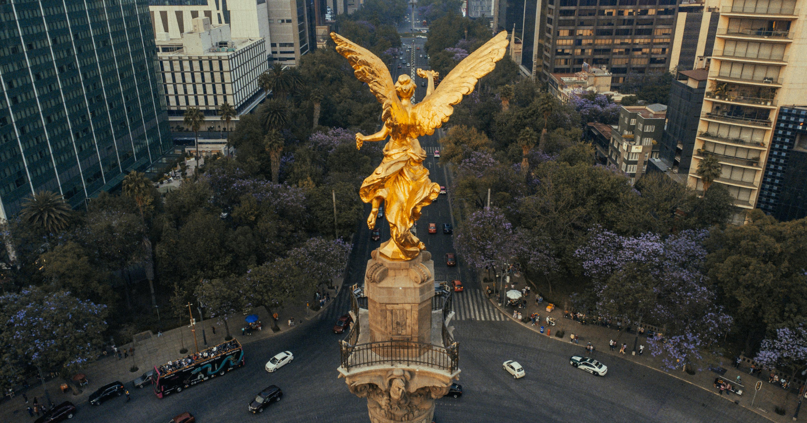
Start with the volcanoes. Popocatépetl and Iztaccíhuatl stood guard over a valley floor covered in water, a shallow lake stretching wide enough that boats, not roads, were the fastest way across it. In the middle of that lake sat an island city of stone temples and canals, reachable only by causeway or canoe. That was Tenochtitlan, and for the Mexica who built it, the lake was not a problem to be solved. It was the point.
Cut to now.
The volcanoes are still there. The lake is gone. In its place: eight-lane highways, a metro system, and twenty-two million people living on ground that used to be water. The city that replaced the lake spent five hundred years trying to make the valley forget it ever existed, and for a long stretch, the illusion held. Then the streets started to warp, the drains started running the wrong way, and the subway tracks started bending under their own trains.
How you erase a lake
Dikes, causeways and a walled-off freshwater lagoon kept the brackish body of Lake Texcoco at arm’s length while the city drank from springs. The Spanish arrived with a different framing: the water was an accounting problem, ruining property and eating rent revenue.
So they dug. From 1607, forced Indigenous labour cut the Tajo de Nochistongo, a trench roughly 20 kilometres long and 60 metres deep, straight through the wall of the basin. Work carried on, off and on, for two centuries. As documented by researchers at the Harvard Graduate School of Design, the effort culminated in the Gran Canal del Desagüe, inaugurated by Porfirio Díaz in 1901, which at last gave a closed basin a permanent way out.
It worked.
That was the problem.
What the satellites see
With the lake gone and the springs spent, the city turned to groundwater. Roughly 70 per cent of its drinking supply now comes from wells sunk into the basin, some three kilometres deep.
Estelle Chaussard and colleagues stitched together 115 years of ground survey data with 24 years of satellite radar and 14 years of GPS. Writing in the Journal of Geophysical Research: Solid Earth, they report that subsidence rates have held broadly steady since 1950 and reach 50 centimetres a year, with cumulative elevation loss in the worst areas running to nearly 39 metres.
That is one team’s analysis, but it does not stand alone. A separate group using Sentinel-1 radar and GRACE gravity data measured more than 35 centimetres a year of sinking inside the city, plus close to two centimetres of annual uplift in the surrounding hills, which is the crust flexing upward as the weight of all that groundwater leaves.
Why switching the pumps off would not fix it
Most of the sinking happens in the layer above the aquifer.
Under Mexico City lies an aquitard, a thick bed of lakebed clay that holds enormous quantities of water but releases it grudgingly. Drop the pressure in the aquifer below and that clay slowly drains, then shrinks. Squeezed clay does not spring back. The study found no meaningful elastic rebound anywhere in the data, which means the elevation is gone permanently, and so is the storage capacity that went with it.
Chaussard’s team puts full compaction of the clay another 150 years out, with up to 30 further metres of subsidence still to come. That figure is a projection, not a direct measurement, and a century-and-a-half forecast should be read with some caution. The mechanism driving it is not in dispute.
There is a nastier side effect. The water table has dropped below most of the clay, so the salty, polluted water trapped in that layer is now draining down into the aquifer the city drinks from.
The bill arrives as infrastructure
Cities do not sink evenly. Clay runs thick in some places and thin in others, so one street corner drops half a metre a year while the one opposite barely moves, and anything rigid spanning the gap begins to fail.
Darío Solano-Rojas and co-authors mapped this across the metro network in a 2024 paper in Scientific Reports, and the numbers are grim. Track gradients have shifted by as much as 3.5 per cent over 20 years. Some sections now sit at slopes that compromise the braking design the trains were built around, and elevated overpasses are burning through their intended 50-year service life early. An overpass on Line 12 collapsed in 2021, killing 26 people less than a decade after the line opened. It was that disaster which first pushed subsidence damage across the wider system into view, even though investigators traced the collapse itself mainly to construction defects.
The city’s drainage tells the same story backwards. Sewers built to run downhill have sagged at different rates until some now run uphill, which is why moving sewage and stormwater out of the basin depends on banks of pumps running around the clock.
Water returning to the lakebed
In 2022 the federal government put some 14,000 hectares of the old Texcoco lakebed, including the graveyard of a cancelled airport project, under protected status. An ecological park opened on the site in 2024, designed by the architect Iñaki Echeverría, who told Dezeen he had approached it at the scale of the whole valley, well beyond the city itself.
It is going better than expected. Around 4,300 hectares were under water after the 2025 rains, with lagoons reappearing on ground that had been salt dust, and a target of 9,000 hectares in sight.
None of it stops the historic centre from going down. What it produces instead is stranger, and harder to look away from: two futures running at once in the same basin, a lake quietly refilling at one edge while a megacity grinds itself into the clay at the other, both moving at the speed of geology, neither of them asking.