

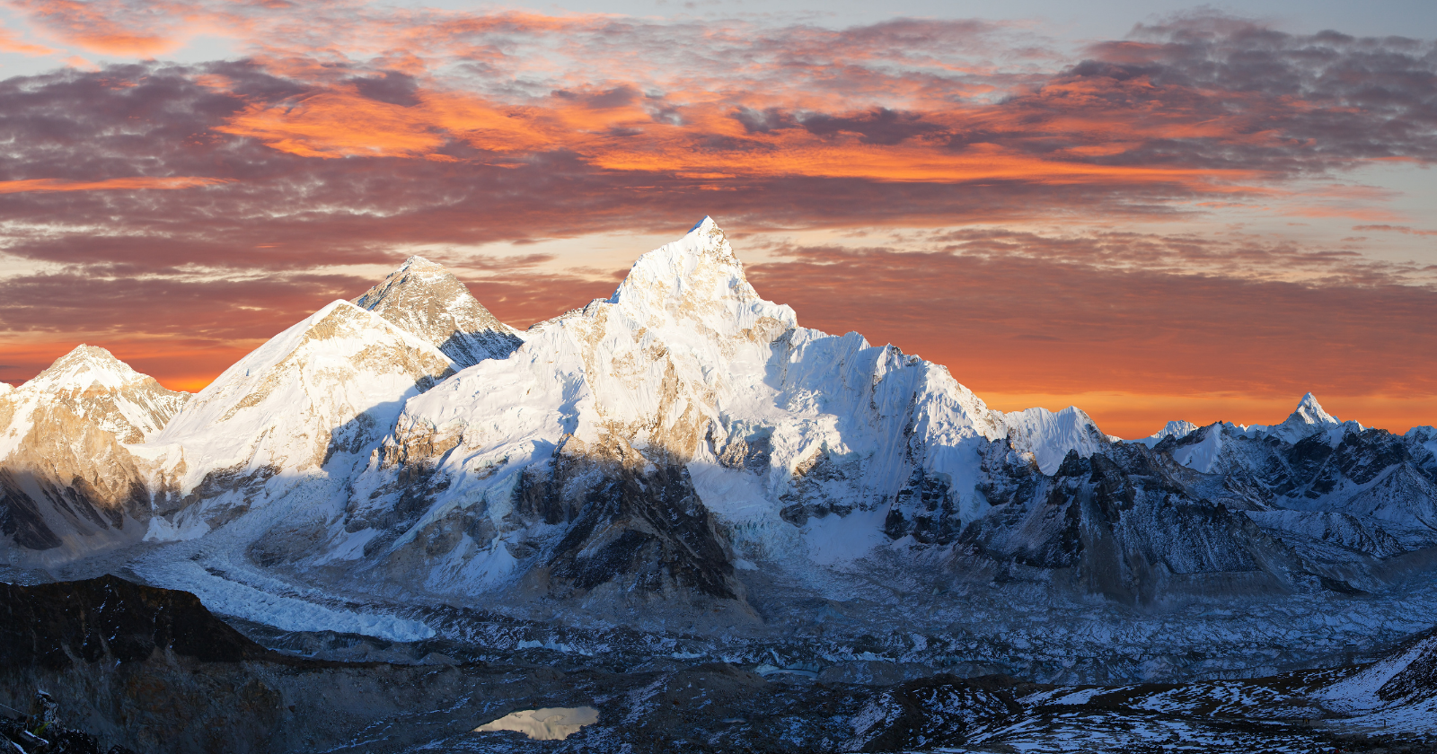
Mount Everest sits somewhere between 15 and 50 metres taller than the collision of the Indian and Eurasian tectonic plates can account for on its own. That gap has puzzled geologists for years, because plate collision is supposed to be the whole story: two continental plates ram together, the crust crumples and thickens, and mountains rise. Everest, Lhotse and Makalu, clustered together at the roof of the Himalayas, all sit a little too high for that explanation alone.
A 2024 paper in Nature Geoscience, titled “Recent uplift of Chomolungma enhanced by river drainage piracy,” proposes an answer. Chomolungma is the Tibetan name for Everest. The authors, led by Xu Han of the China University of Geosciences with Adam G. G. Smith and Matthew Fox of University College London among the co-authors, argue that a river did what tectonics could not finish: it stole another river’s water, carved out an enormous amount of rock, and let the crust beneath Everest spring back upward in response.
How a river steals another river’s water
The process is called river piracy, or stream capture. It happens when one river system erodes backward through the landscape fast enough to intersect and divert the headwaters of a neighbouring river, redirecting that water into its own channel. It sounds slow and technical.
According to the paper, the Arun River — already a major tributary of the Kosi — captured a large stretch of Tibetan Plateau headwaters to its north, more than tripling its own drainage area and sending far more water down into the Kosi system to the south. The Kosi’s channel had been cutting backward through the mountains, and at some point it broke through and annexed the Arun’s upper reaches. Overnight, in geological terms, the Kosi system gained a large new catchment and a dramatic increase in the volume of water flowing through its gorge.
More water moving through a confined gorge means more erosive power. The authors’ modelling indicates the Kosi began cutting down through that gorge far faster than before, stripping away a huge mass of rock and sediment over tens of thousands of years. The best-fitting model in the paper puts the capture event at around 89,000 years ago, though the authors note their models remain consistent with a broader window of 50,000 to 100,000 years.
Why removing rock makes a mountain taller
Losing mass sounds like it should make a mountain shorter.
The mechanism that reverses that intuition is called isostatic rebound, and it works the same way a ship rises in the water once cargo is unloaded.
The Earth’s crust floats on the denser, more pliable mantle beneath it. Remove a large enough load of rock from one spot, through erosion, and the crust in that region is no longer being pushed down as hard. It rises to find a new equilibrium, slowly, over a wide area, not just at the exact point where the rock was removed. Because Everest, Lhotse and Makalu sit near enough to the Arun-Kosi gorge, the paper’s modelling finds they have all been lifted by the same rebound effect — Makalu, closest to the Arun River, is modelled to have received a slightly larger share of the uplift than Everest itself.
The paper estimates this isostatic response is still adding somewhere between 0.16 and 0.53 millimetres a year to Everest’s elevation, depending on assumptions about how stiff the crust is at depth. That is on top of, not instead of, the uplift already driven by the ongoing collision between the Indian and Eurasian plates. Combined with that tectonic push, several of the researchers involved have described Everest’s current overall growth as roughly 2 millimetres a year in public comments accompanying the study, though the paper’s own isostatic figure is the more conservative, directly modelled number.
One study, not a settled account
This paper does not close the case on why Everest is so tall. The authors present river capture and isostatic rebound as the best current explanation for the 15 to 50 metre gap between Everest’s height and what plate tectonics alone predicts, built on landscape modelling of the Arun and Kosi drainage systems and estimates of how much rock has been removed. That is one team’s reconstruction of an event that happened tens of thousands of years before anyone could observe it directly, and the authors present it as a compelling hypothesis rather than a settled fact. Other researchers will likely test the dating of the capture event, the assumptions about how stiff the crust is at depth, and the modelling of erosion rates in the gorge, as tends to happen with any single study that reshapes a long-standing question in earth science. Independent replication of the specific 89,000-year timing has not yet caught up with the headlines the paper generated in 2024.
In July 2026, geomorphologists Joel Leonard and Kelin Whipple published a formal challenge to this interpretation in the same journal, arguing the disequilibrium evidence used to infer river capture is more simply explained by orographic rainfall patterns, with no capture event required. The original authors published a reply defending their conclusion the same day — this is now an open dispute in the literature, not just an unreplicated headline.
What makes the idea persuasive in the meantime is that it does not require anything exotic. River capture is a well documented process elsewhere in the world. Isostatic rebound is the same physics that explains why parts of Scandinavia and Canada are still rising after the weight of ice-age glaciers melted away. The paper’s contribution is connecting those two familiar mechanisms to a very specific, local event in the Himalayas, and showing that the numbers roughly fit.
A mountain still being written
Everest’s official height, 8,848.86 metres by the most recent Chinese-Nepali survey, is usually explained as a straightforward product of continental collision. This paper suggests that number also carries the fingerprint of a river that changed course tens of thousands of years ago, long before anyone was measuring the mountain at all.
The researchers involved are not suggesting climbers will notice the difference. A few tenths of a millimetre a year is not something a person standing on the summit could ever feel, and it will take centuries for the effect to add even a single centimetre. But it is a useful correction to the idea that a mountain’s height is fixed the moment tectonic plates finish their work. Rivers keep editing the landscape long after the collision that started it. Occasionally, one of those edits pushes a very famous peak a little higher, and this study is the first serious attempt to put numbers on exactly how much of Everest’s summit belongs to a river that changed its mind about where to flow.