

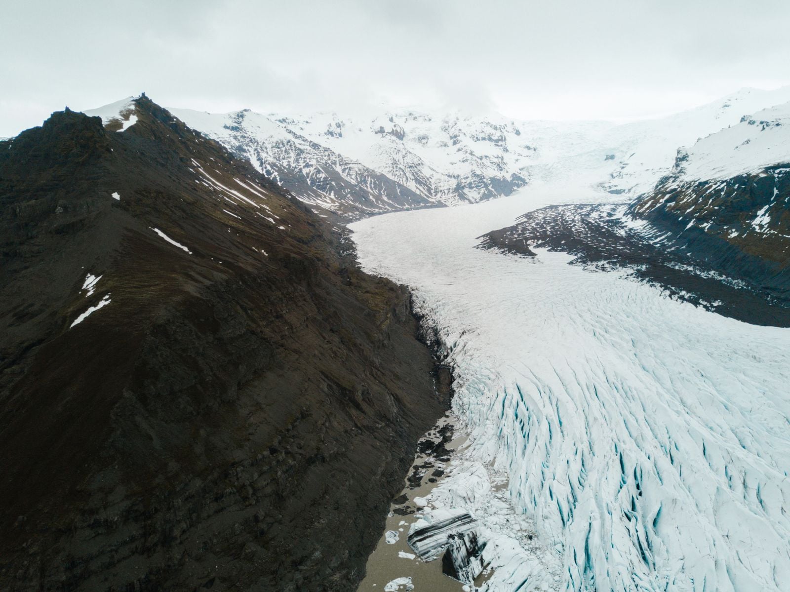
Byrd Glacier sits at the edge of the East Antarctic Ice Sheet and moves. Fast. Radar and satellite tracking put its central trunk at roughly 800 metres a year as it squeezes through a 24-kilometre-wide gap in the Transantarctic Mountains, draining a catchment on the East Antarctic plateau larger than the state of California.
That is not a slow river of ice. That is a conveyor belt the width of Manhattan sliding two metres a day toward the Ross Ice Shelf, hauling a load that would be measurable at every tide gauge on Earth if it ever fully cut loose.
What Byrd actually is
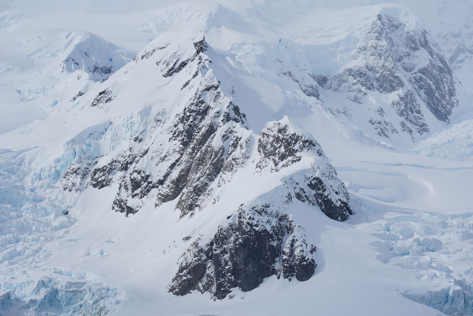
The glacier takes its name from Richard E. Byrd, the American polar aviator, and it is one of the largest outlet glaciers on the planet. NASA Earth Observatory imagery and mission notes describe Byrd as the pipe through which a huge slice of the East Antarctic interior empties into the Ross Sea system. The catchment behind it — the ice that eventually finds its way into the Byrd trunk — covers something on the order of 1,070,000 square kilometres. California is about 424,000.
The picture most people carry of a glacier — a tongue of blue ice grinding down an Alpine valley at a few centimetres a day — does not fit here. Byrd is closer to a frozen river in the hydrological sense: a channelised, high-velocity stream of ice fed by a continental drainage basin.
The gap it flows through is one of the deepest fjord-like troughs on Earth. Bedrock beneath the trunk sits more than 2,000 metres below sea level in places, cut by geological forces that pre-date the ice by hundreds of millions of years.
Why it moves so fast
Two things set Byrd’s velocity apart from the slow interior ice: the shape of the bed and the presence of water at the base.
The trough through the Transantarctic Mountains funnels ice from a plateau catchment the size of a small country into a channel a few tens of kilometres wide. Mass conservation does the rest. If ice keeps arriving at the top and the exit is narrow, the middle has to accelerate.
Beneath the glacier, meltwater lubricates the contact between ice and bedrock. In 2007, satellite altimetry caught something unusual: two subglacial lakes beneath the upper Byrd catchment drained abruptly, and the glacier downstream sped up by about ten per cent for roughly 14 months. That episode, published in the glaciological literature, remains one of the clearest field demonstrations that basal hydrology directly controls how fast large outlet glaciers flow.
The bed itself is not flat. Recent work using seismic, gravity and magnetic data has been reconstructing what Antarctica looks like without its ice, and the picture that emerges is a continent full of deep basins and buried mountain ranges. Analyses of the subglacial landscape have mapped a fan of connected basins across large parts of East Antarctica — a tectonic structure believed to have formed before Gondwana broke apart. The Transantarctic Mountains, which Byrd cuts through, are part of that same ancient architecture.
The ice today flows in the grooves the tectonics left behind 160 million years ago.
How much water is up there
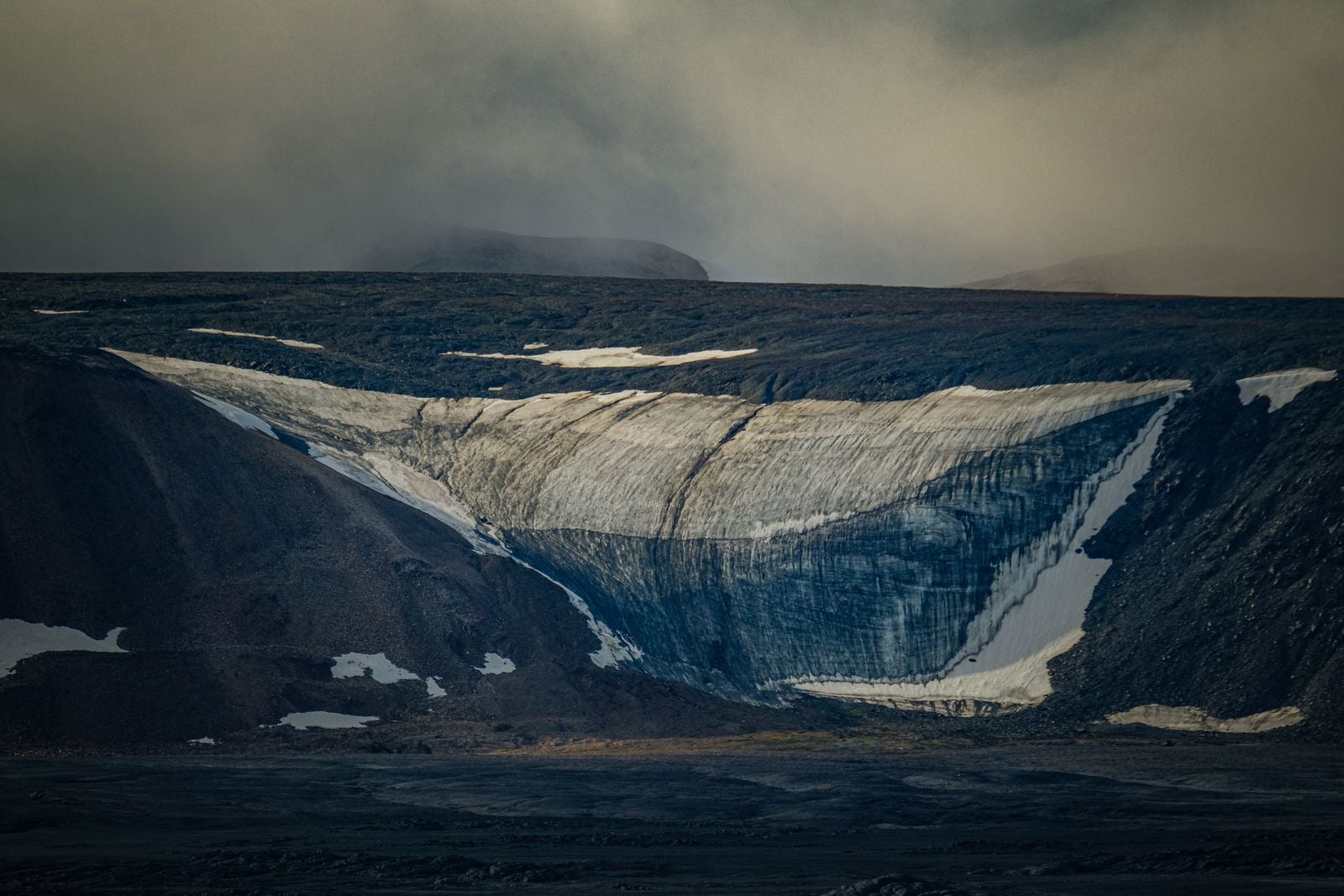
Byrd’s catchment holds a share of the East Antarctic Ice Sheet, which is the largest single reservoir of fresh water on Earth. The whole East Antarctic sheet, if it melted completely, would raise global sea level by roughly 53 metres. Byrd drains only a fraction of that, but the fraction is not small.
Estimates from bed topography compilations put Byrd’s ice discharge into the Ross Ice Shelf at roughly 20 gigatonnes per year. A gigatonne is a billion tonnes. For scale: about 360 gigatonnes of ice melt equates to roughly one millimetre of global sea level rise.
Byrd is not currently losing that much mass — most of the ice it delivers to the Ross Ice Shelf is replaced by snowfall in the interior. The system is close to balance, on the available evidence. What matters is what happens if that balance changes, and what the bed looks like if the ice ever thins enough to let warm ocean water push inland.
What paleoclimate ice tells us
Ice cores are the reason glaciologists take Antarctic behaviour so seriously. NASA’s summary of the ice-core record notes that Antarctic cores now stretch back roughly 750,000 years, capturing eight full glacial cycles in the trapped air bubbles and oxygen isotopes of layered snow.
Those cores show that during past warm periods, parts of the West Antarctic Ice Sheet collapsed. Sediment records from the Amundsen Sea indicate significant West Antarctic retreat during the warm early Pliocene, when global temperatures sat only a couple of degrees above today’s.
East Antarctica, where Byrd lives, has been more stable. But stability is not the same as immunity. The Wilkes and Aurora basins — both inside that giant tectonic fan sitting under East Antarctica — hold ice grounded well below sea level. If the ocean gets access, the physics changes.
The Pine Island comparison and the stakes
The reason glaciologists keep close watch on outlet glaciers like Byrd is what happened, and is still happening, to Pine Island Glacier on the other side of the continent. Pine Island drains part of the West Antarctic Ice Sheet, and it has been thinning and accelerating for decades. Its bed geometry allowed warm circumpolar deep water to reach the grounding line and undermine the ice from below.
Pine Island now discharges around 130 gigatonnes of ice per year, and its grounding line has retreated tens of kilometres inland since satellite records began. It is, by itself, responsible for a measurable fraction of contemporary sea-level rise.
Byrd’s bed geometry is different. The Ross Ice Shelf sits in colder water than the Amundsen Sea embayment, and the buttressing effect of the shelf appears to be holding the East Antarctic outlets in check. For now.
The title’s hypothetical — Byrd fully releasing its ice — is not a prediction. It is a way of putting the number at human scale. If the catchment behind Byrd lost mass equivalent to only a few centimetres of thickness across its entire area, tide gauges from Sydney to San Francisco would register the shift. That is the leverage a continental drainage basin gives a single outlet.
The mechanism that worries glaciologists is not sudden collapse. It is the removal of the Ross Ice Shelf, or a substantial thinning of it, which would take the brake off outlets like Byrd and let interior ice accelerate into the ocean.
Antarctic ice shelves have collapsed before, on the peninsula. Larsen B disintegrated in a matter of weeks in 2002 after decades of thinning. The Ross is orders of magnitude larger and colder, but the physics is the same.
Life at the edges and what the measurements show
Glaciers are not sterile. The meltwater streams flowing off ice sheets carry active microbial communities — bacteria that survive freezing, photosynthesise inside ice, and colonise the sediment beds of glacial rivers. Studies of Alpine and polar glacier systems show that as ice recedes, the microbial communities in their meltwater streams grow more homogeneous — cold-adapted specialists give way to generalists that thrive at higher temperatures.
That has echoes further out in the solar system. Space Daily has looked at how astrobiologists are probing icy crusts on ocean worlds like Europa and Enceladus, using terrestrial ice as an analogue for what might survive under kilometres of frozen water elsewhere. Byrd’s basal environment — dark, high-pressure, meltwater-lubricated bedrock — is one of the closest analogues on Earth to what a subsurface ocean interface might look like on Titan or Enceladus, where the substrate is water ice and the fluid moving through it is something exotic.
Byrd has been tracked by satellite altimetry, InSAR, and GPS since the 1990s. The 800-metres-per-year figure for the central trunk comes from ice-velocity mapping products built from Landsat and Sentinel imagery. The subglacial lake drainage event of 2005–2007 was caught by ICESat laser altimetry, which detected the surface of the ice above the lakes dropping by several metres over months as water flushed out beneath.
Direct measurements of the bed rely on airborne radar surveys — aircraft flying grid patterns over the ice, firing radar pulses through kilometres of frozen water to map what lies beneath. That is how glaciologists know the trough is more than 2 kilometres deep.
What the measurements do not show is a Byrd Glacier accelerating rapidly today. Its behaviour over the satellite era has been variable but not catastrophic. The signal to watch is not the glacier itself. It is the ice shelf downstream and the ocean beneath it.
The timescales
Full deglaciation of the Byrd catchment would take centuries to millennia even under aggressive warming scenarios. Ice sheets do not vanish quickly. What they do, on the paleo record, is retreat in steps — stable for centuries, then rapid grounding-line collapse over decades, then stable again at a new configuration.
The last time East Antarctica was substantially smaller than today was during the mid-Pliocene, around three million years ago, when atmospheric CO2 sat at roughly 400 parts per million. That is where the atmosphere sits now.
Byrd today looks much as it did when Richard Byrd himself first flew over the Transantarctic Mountains in the 1920s. The gap through the mountains, the trunk of the ice, the ice shelf downstream — all recognisable in the photographs. The glacier moves two metres a day, has done so for as long as instruments have measured it, and will keep doing so through the rest of this century regardless of what happens to the climate.
What changes on that timescale is what happens at the front, kilometres below the surface, where warm salt water and ancient ice meet a bedrock trough carved before dinosaurs walked.