Somewhere in central Kazakhstan sits a coal town of a few hundred people that spent three decades collecting credit for the greatest achievements in human spaceflight, without ever hosting so much as a firework.
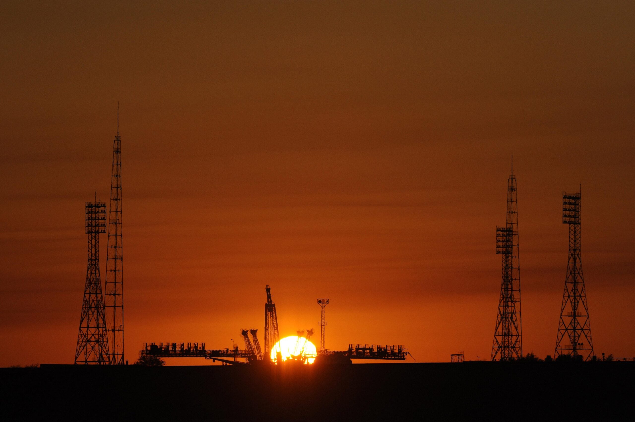
That town is Baikonur. Rockets actually flew from a patch of steppe roughly 320 kilometres to the south-west, beside a railway halt called Tyuratam, and the gap between those two places was not sloppy record-keeping. Soviet officials put it there on purpose.
It was, in the most literal sense, a cover story.
A decoy with a real address
The deception has a birthday. In April 1961, once Yuri Gagarin was safely back on the ground, the Soviet Union wanted his flight ratified as a world record, and record dossiers lodged with the Fédération Aéronautique Internationale require the coordinates of the launch site, which happened to be a state secret.
Asif Siddiqi’s Challenge to Apollo, published by NASA, describes what happened next. A team under Major General Kerim Kerimov, forbidden from putting Tyuratam on paper, chose the name of a small mining settlement some 370 kilometres to the north-east and submitted that instead. The federation filed it. Newspapers copied it. Atlases and dictionaries went on printing false coordinates for the most consequential launches of the century, a mess catalogued by the astronautics historian Mike Gruntman in his study of the range for Acta Astronautica.
Sources disagree on the exact distance, citing anything from 300 to 370 kilometres depending on which historian’s account you read.
The Americans already had the photographs
How do you find a missile range the other side has kept off every map?
On 5 August 1957, a U-2 flown by Buster Edens crossed eastern Kazakhstan trying the obvious answer, following the rail lines to see what turned up. The CIA’s own declassified history of the programme admits the mission planners had no idea where the range actually was. The installation had no name at all. Dino Brugioni, an analyst in the agency’s photo interpretation division, combed through every chart he could find and located a single German wartime map showing a settlement nearby. It was marked Tyuratam, which in Kazakh means arrow burial ground.
The label stuck, and American officials have used it ever since, nearly four years before Moscow even dreamed up Baikonur.
Three weeks later a follow-up overflight brought back the first clean imagery of the launch pad, now held at the US National Archives and published online by the National Security Archive. Washington said nothing in public. Revealing what it knew meant confessing to flights over Soviet territory, so both governments kept quiet for different reasons.
The town that cashed in
Residents of the real Baikonur read the situation faster than anyone in Moscow did.
Siddiqi’s account has them briefly delighted by their sudden fame, then quick to see the commercial opportunity in it. Requests went up the chain for cement, timber and other chronically scarce materials. The ministries, apparently under the impression they were resourcing the nation’s space effort, delivered in bulk. Officials eventually stopped the disbursements, having worked out that they were on the receiving end of a fairly elegant scam.
A press conference in Houston
“Baykonur launch complex near Tyuratam.” NASA’s international affairs office circulated that exact phrasing to staff in 1975, a small fix for an argument that had been running for years. The point was to keep the launch complex separate from a well-known place of the same name sitting roughly 200 miles off to the north-east.
The argument came to a head that same year, as NASA’s official history of the Apollo-Soyuz Test Project records. ABC’s Jules Bergman lost patience with the whole business at a crew press conference, putting it to astronaut Tom Stafford that the published coordinates sat more than 200 kilometres from the pads, and that a railhead called Tyuratam was still the launch complex whatever anyone chose to print. ABC, he said, would be calling it Tyuratam. Calling the site Baikonur, in his view, was like calling Kennedy Space Center the Tampa Space Port.
Deke Slayton offered the practical answer. If you want the name the Soviets themselves use, you say Baikonur.
The decoy won
The garrison town beside the range collected names the way it collected decades: Zarya, then Leninsk, informally Zvezdograd. Anatoly Zak’s history of the settlement records the last entry in that list. In the mid-1990s, a decree from President Yeltsin gave the town its current name, formalising the label Soviet newspapers had already been using for more than three decades.
The coal town kept its name as well, so there are two Baikonurs on the map now, and the famous one is the counterfeit.
Other flourishes attached themselves to the story over the years, including a persistent claim that a plywood spaceport was erected near the mining town to give the spy planes something to photograph. That one turns up in travel writing far more often than in the archival histories, which is usually a sign to hold it loosely.
Cold War secrecy usually gets graded on whether it fooled anybody. Measured that way, this was a dud before the paperwork was even lodged, beaten by a spy plane and a captured German map. Measured on staying power, it may be the most successful falsehood of the entire space race, because nobody has to maintain it any more. A president signed the lie into fact and it stopped needing to be one.