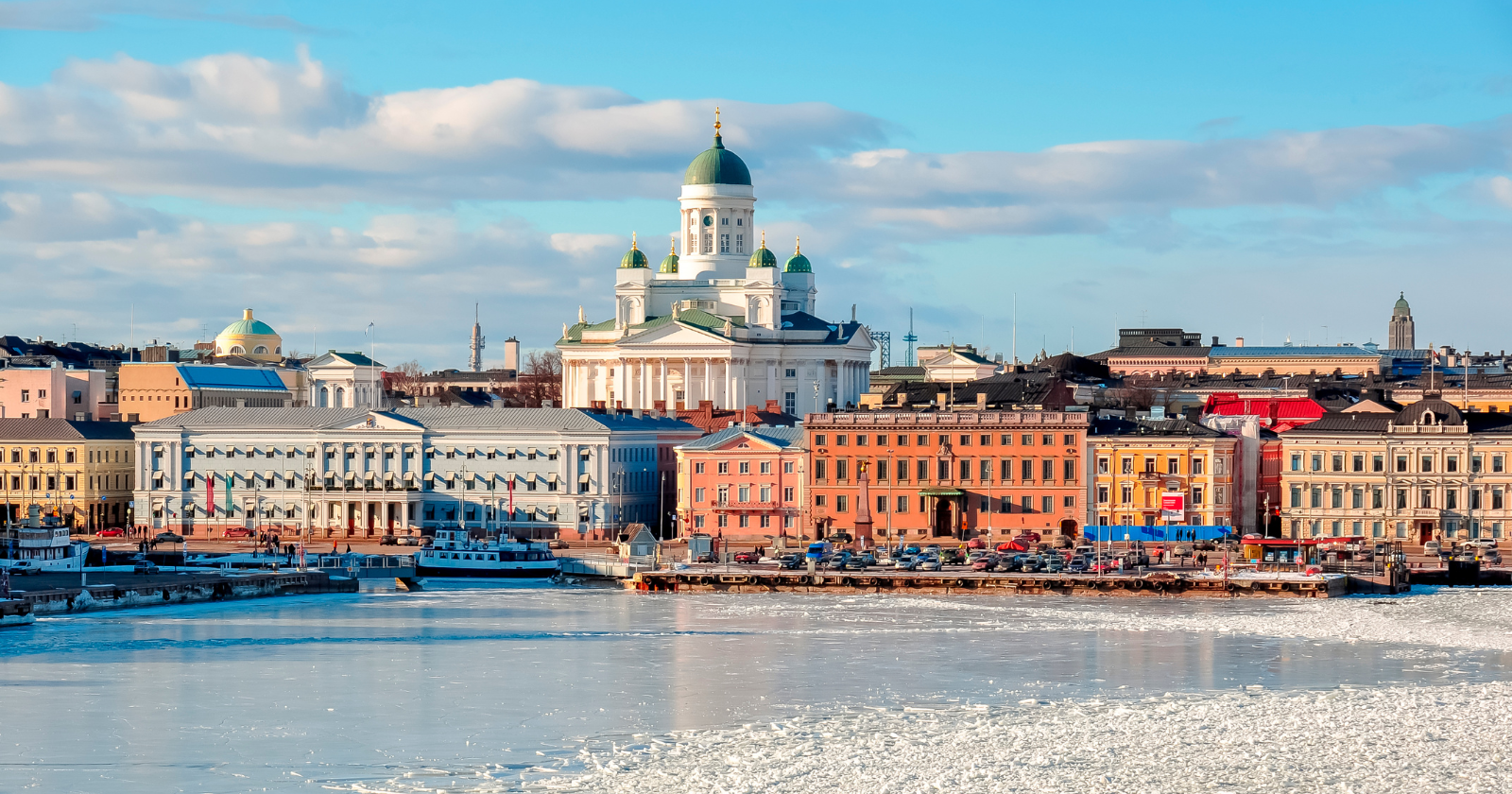
Along Finland’s west coast, new land keeps rising out of the sea.
Around the Gulf of Bothnia, about 700 hectares of new land emerge every year, an area roughly twice the size of Central Park. Nobody builds it. The ground itself is still lifting out of the water, a slow leftover from the last ice age.
And when a fresh strip of shore appears in front of your waterfront plot, it is not automatically yours.
Geology keeps redrawing the coast, and the law refuses to follow it automatically.
The land really is rising, and fast
During the last ice age, a huge sheet of ice sat on top of this region, and it was heavy. NASA’s Earth Observatory notes the ice pressed the crust down by more than 500 meters at its peak.
When the ice melted and retreated more than 10,000 years ago, the weight came off and the crust began springing back up. The motion is something like a mattress slowly recovering its shape after you get up, except the mattress is bedrock and the recovery takes thousands of years.
It is not finished. According to the National Land Survey of Finland, around 100 meters of rebound may still remain near the Gulf of Bothnia. The same agency puts the fastest current rate at nearly 1 cm per year in the Kvarken area, slowing to under 3 mm a year in Finland’s southeast.
So who owns the new strip?
This is where most people’s intuition fails. You own a plot. It ends near the water. Over the years the water quietly retreats and a new band of dry land appears between your lawn and the sea. Surely it’s yours, right?
Well, under Finnish law, not automatically. The emerged strip has its own name, vesijättö. The National Land Survey describes it as former water that has turned into land, most commonly because of land uplift, a fall in water level or overgrowth. Ownership generally remains with whoever owned the water area. A National Land Survey guide notes that this is often an osakaskunta, the body formed by the properties that jointly own a common water area.
Why the law works this way
The key point is that the physical shoreline moving does not by itself transfer title. Land that emerges from a water area does not simply become part of the neighbouring shore property. If the seabed belonged to a common water area, the resulting vesijättö can remain part of that common ownership.
The land changed from water-covered to dry; ownership did not automatically change with it.
People noticed the shoreline changing long before modern surveys. The National Land Survey records that residents of Östhammar in Sweden were already complaining in 1491 that the retreating shoreline had left their old harbour unusable. The rebound has been quietly stranding harbors and jetties for centuries.
What a shore owner can actually do about it
The situation is fixable, just not free or automatic. A shore-plot owner can apply to redeem the strip through a procedure run by the National Land Survey. Finnish law allows a property owner in qualifying circumstances to redeem vesijättö lying in front of the property, while the owner of the vesijättö can also seek redemption proceedings in some cases. The National Land Survey’s current guidance says the surveyor decides whether the requested area can be redeemed, values it and sets the compensation.
It costs money. The National Land Survey lists the average cost of the procedure itself for a cottage plot at roughly 2,000 to 3,000 euros, on top of compensation to the area owner and any taxes. Once the redemption is completed, the new area is added to the property in the register.
The odd position this leaves people in
So you can end up owning a “waterfront” plot that no longer reaches the water, separated from the sea by a growing ribbon of ground that belongs to someone else, often a common water-area partnership. A slow geological process can therefore create a very practical property problem.
My read is that the Finnish rule amounts to a quiet refusal to let nature settle questions of ownership on its own. The sea can expose new land, but the deed is a human agreement, and a human agreement only changes when people change it. Geology can redraw the coastline all it likes. It doesn’t get to touch the register.