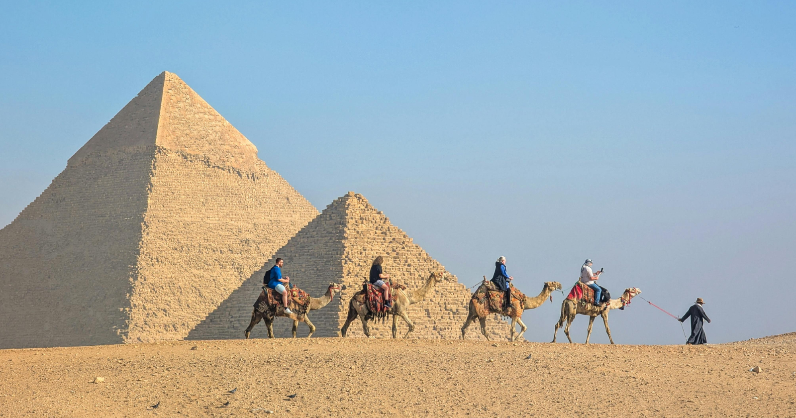
An inspector named Merer kept a timetable. Two columns a day: where the boat cast off, what it was carrying, where it moored for the night, which stretch of dyke his men worked when there was no stone to move.
That timetable is now part of the oldest inscribed papyrus corpus recovered in Egypt, excavated in 2013 at Wadi al-Jarf, a Red Sea harbour site 119 kilometres south of Suez, by a joint Sorbonne, French Institute of Archaeology in Cairo and Assiut University expedition under Pierre Tallet. Tallet published the two best-preserved documents in 2017; he and the Giza archaeologist Mark Lehner later wrote a general account of the find, The Red Sea Scrolls, for Thames and Hudson.
Merer’s phyle of forty men was one of four making up a work unit known as the Escort Team of “The Uraeus of Khufu Is Its Prow”, which Tallet’s colleagues concluded took its name from the boat it crewed. Tallet and Grégory Marouard, writing in Near Eastern Archaeology in 2014, put the crew under Merer’s charge at around 200.
What the logbook records, and where the stone went
The Giza entries, June to November, are shipping logs. The crew alternated between two quarries, Tura North and Tura South, switching every ten days so the quarrymen had time to cut and stack the next load, and made two or three round trips in each ten-day week, carrying white limestone downriver to the pyramid.
Where that stone ended up is inference rather than record. Limestone of the grade Merer carried was used to case the Great Pyramid, and the cargo has often been read that way. Lehner, in Archaeology‘s account of the papyri, argues the casing would have been finished this late in Khufu’s reign, and suggests the blocks went to roof the nearby pits holding the king’s cedar funerary boats.
We find the uncertainty more useful than either answer on its own. A logbook of this kind records movement, not purpose, and the destination is supplied by whoever reads it.
How the crew was provisioned
Accounts survive in the same archive. During a posting in the Delta, an official called Imery made repeated trips to fetch the crew’s rations of bread and beer. Elsewhere the papyri record gifts of textiles, and a diet extending to poultry, fish, fruit, various breads and beers, with dates and honey, both scarce and generally reserved for people close to the palace. Merer’s men are titled setep za, the chosen or elite phyle, and Tallet’s conclusion is that these boatmen were skilled, valuable, and deliberately kept content.
None of that settles the terms on which the far larger body of quarrymen and stone-setters worked, a question Lehner has kept open, including whether the bulk labour was raised by obligation.
Provisioning at Giza itself is better documented. At Heit el-Ghurab, the settlement south of the Sphinx, Richard Redding of the Kelsey Museum of Archaeology has worked through some 175,000 animal bones and fragments. Working from the identified specimens, his estimate, reported by Live Science, is eleven cattle and thirty-seven sheep or goats slaughtered daily. Grazing herds on that scale would have taken 155 square miles, roughly 400 square kilometres, and adding the fallow, waste, settlement and farmland the herders themselves needed triples that figure.
The water was the infrastructure
Merer’s boats reached the edge of the plateau because water had been brought to it. The papyri name a Ro-She Khufu, the entrance to Khufu’s lake, which Lehner sets alongside a basin his excavations traced in the late 1980s and early 1990s, a quarter of a mile by a third of a mile, dredged deep enough for laden hulls.
In 2024, writing in Communications Earth and Environment, a group led by Eman Ghoneim at the University of North Carolina Wilmington mapped segments of an extinct Nile branch running along the foot of the Western Desert plateau, using Sentinel-1 radar, TanDEM-X elevation data, ground-penetrating radar and two deep sediment cores. They named it the Ahramat Branch: 64 kilometres long, 200 to 700 metres wide, comparable to the neighbouring Nile, and lying between 2.5 and 10 kilometres west of the modern river. Thirty-one pyramids, spanning Dynasties 3 to 13, sit along it.
Five valley temples survive on what Ghoneim and her colleagues map as its bank, among them those of the Bent Pyramid, Khafre and Menkaure.
Causeways run down towards the channel and stop there.
That those temples served as river harbours is the paper’s argument, drawn from position and sediment, not from an excavated quay, and its authors write may rather than did. It sits alongside earlier work: Sheisha and colleagues reported river and marsh conditions in the floodplain east of Giza in PNAS in 2022.
What is still unread
The deeper layers at Heit el-Ghurab, those likely to date to Khufu rather than his successors, remain unexcavated. Ghoneim’s group has recommended further coring along the branch where its surface expression is weakest. Tallet’s mission recovered papyri at Wadi al-Jarf across seasons through to 2018, and only part of that corpus is in print.
Merer’s remaining paperwork is still being edited.